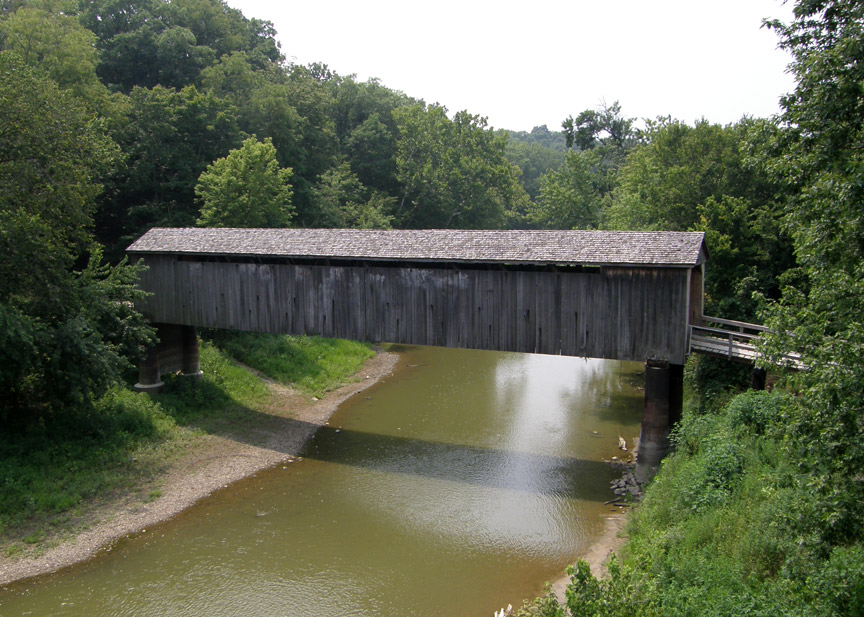
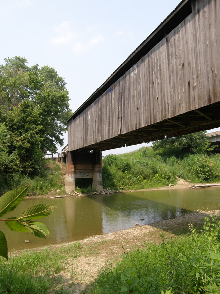
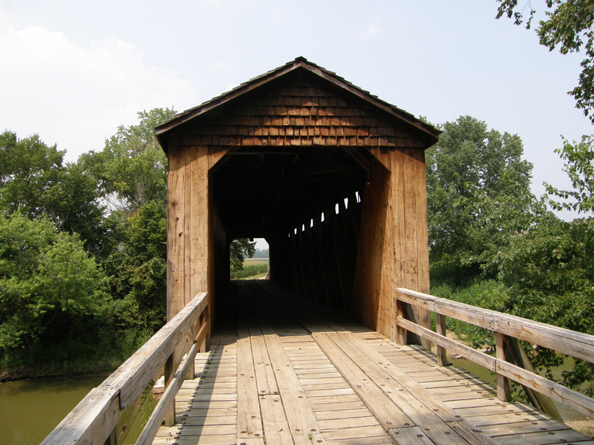
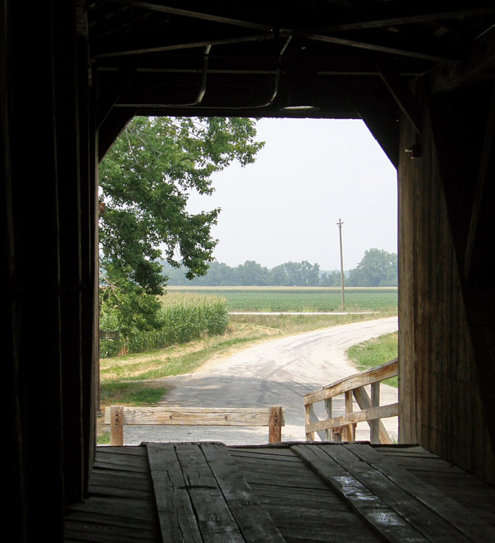
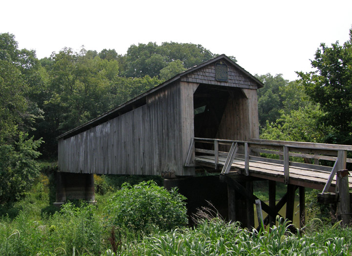
13-87-01
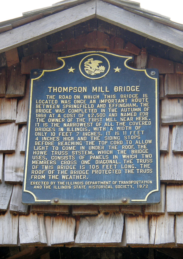
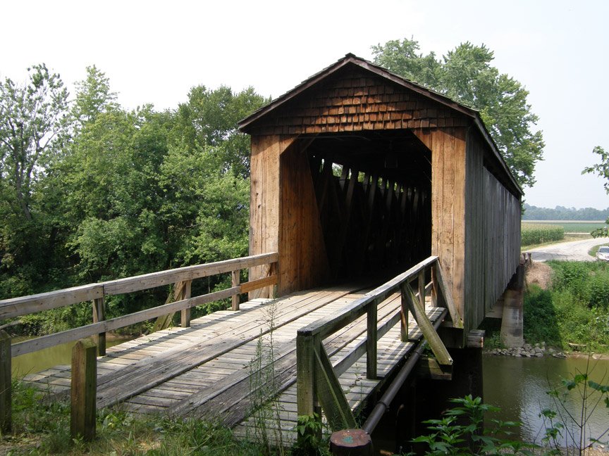
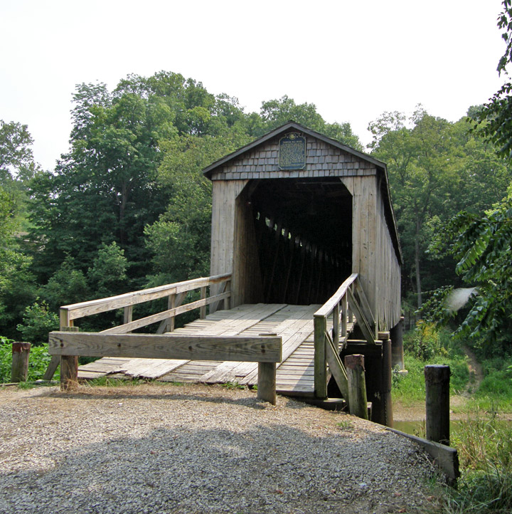
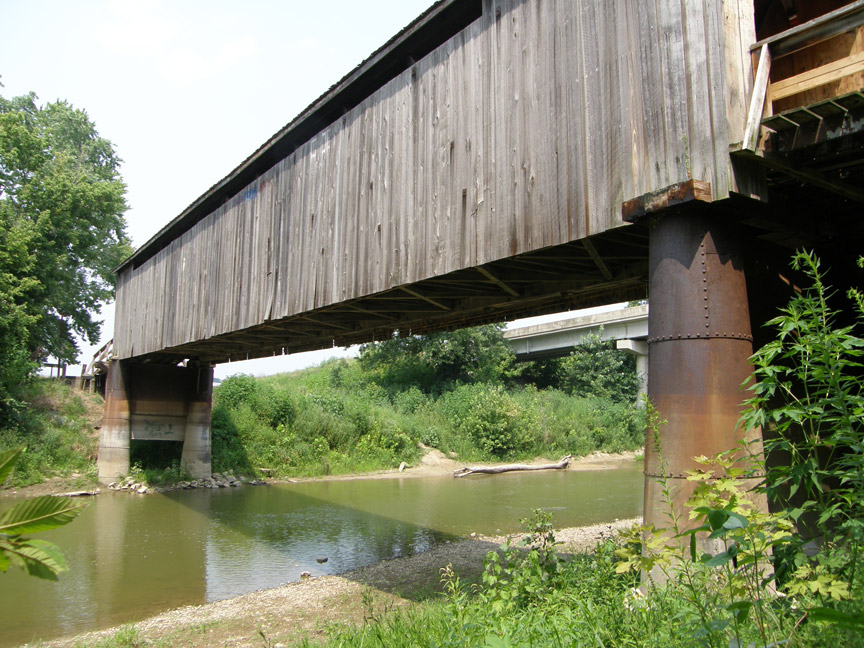
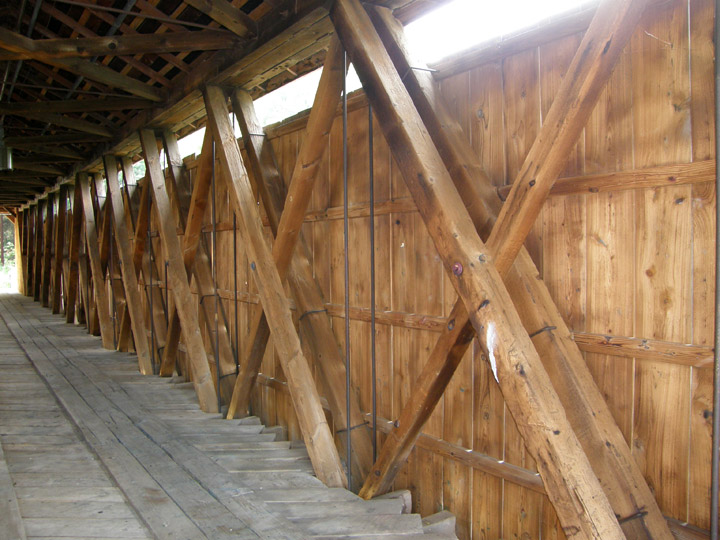
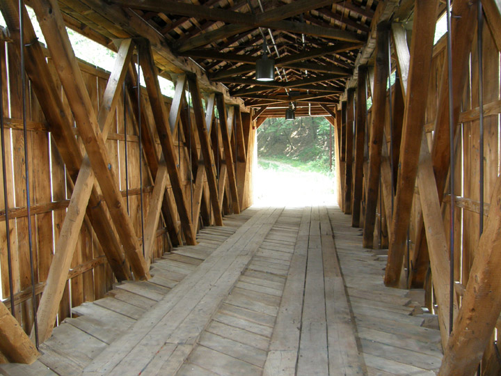
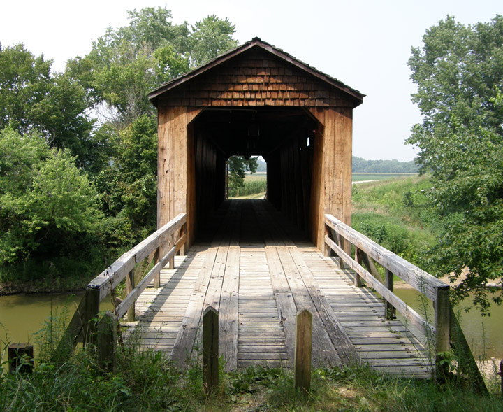
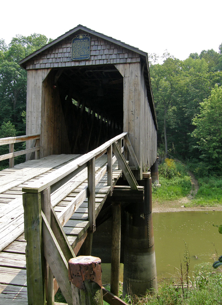
Thompson Mill Covered Bridge
Shelby County
GPS
N39 15.51
W88 49.12
built in 1868
105 feet length
Map of
Latitude: 39.258585 Longitude: -88.8187
People and Places