


14-36-04
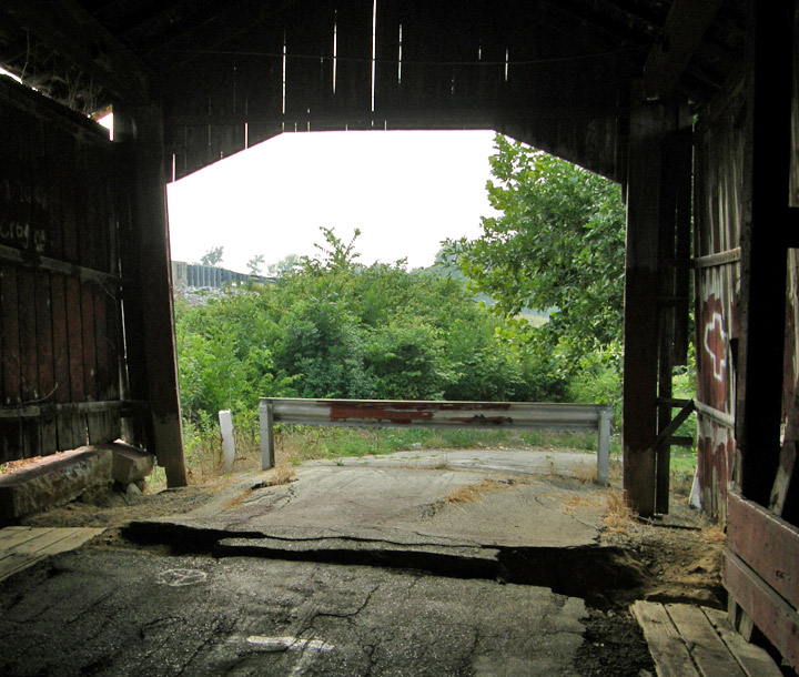
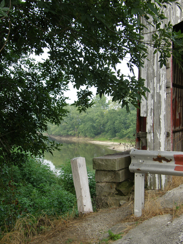
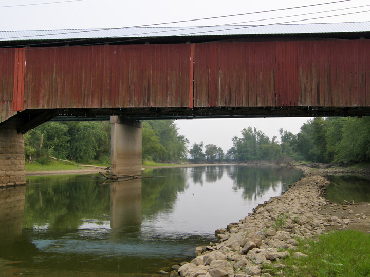
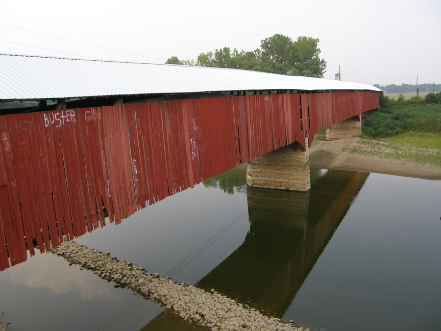
Medora Covered Bridge
Jackson County
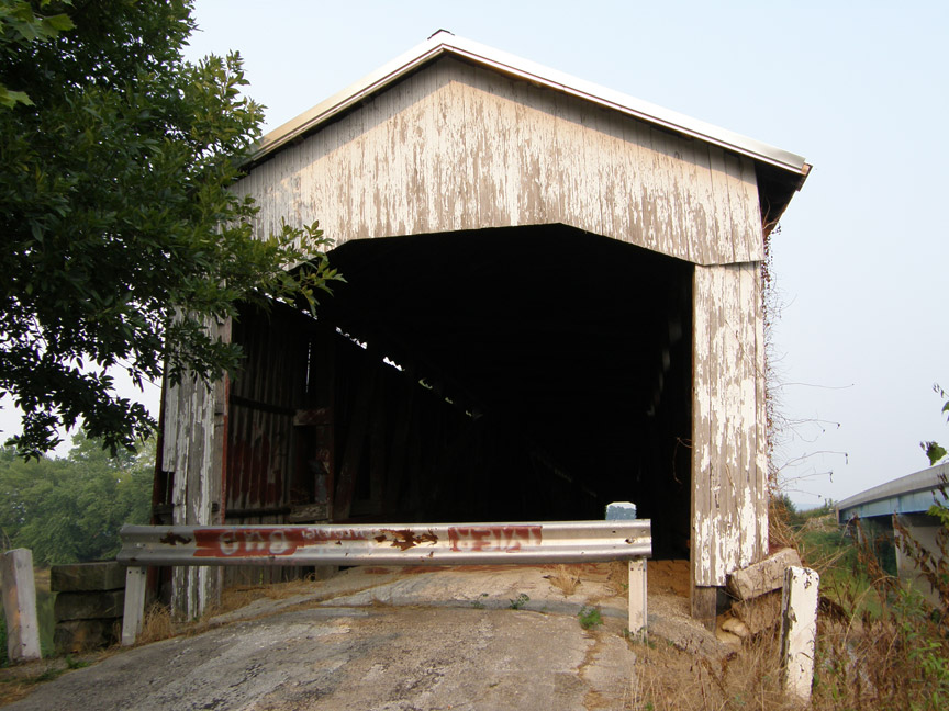
Medora Covered Bridge
GPS
N38 49.19
W86 08.84
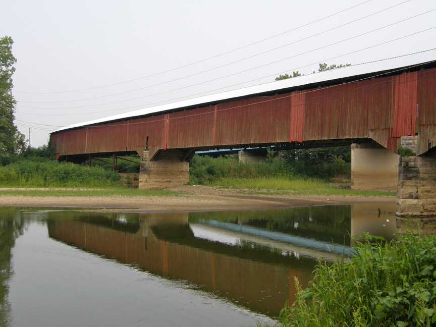
triple span
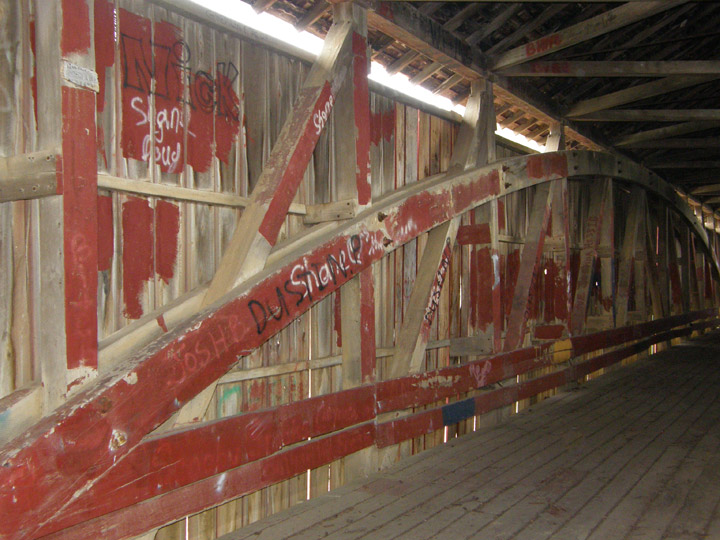
Burr Arch
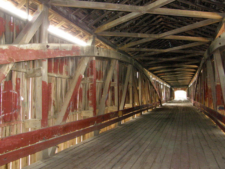
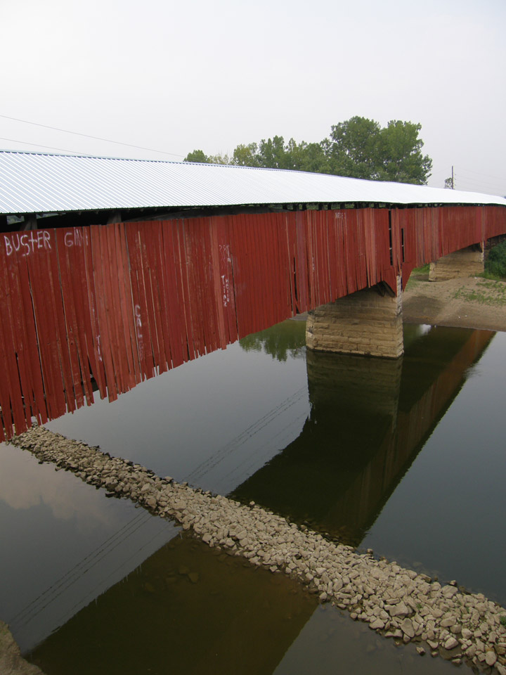
East fork of the White River
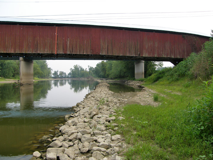
434 feet in three spans, plus a 12 foot overhang at each end
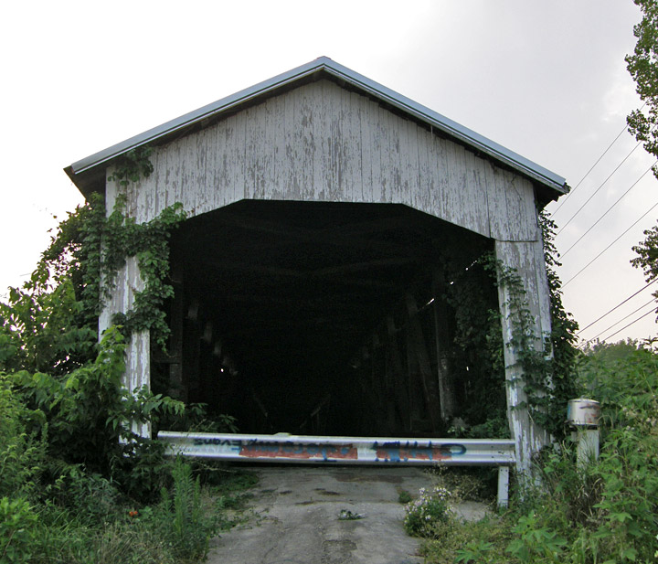
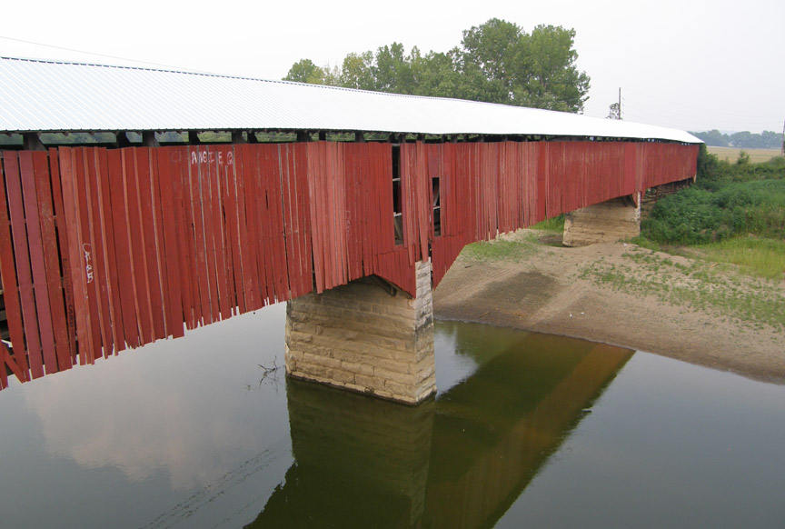
built in 1875 by Joseph J. Daniels
Latitude: 38.8189
Longitude: -86.1478