
14-47-02
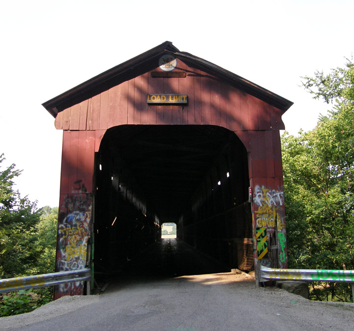
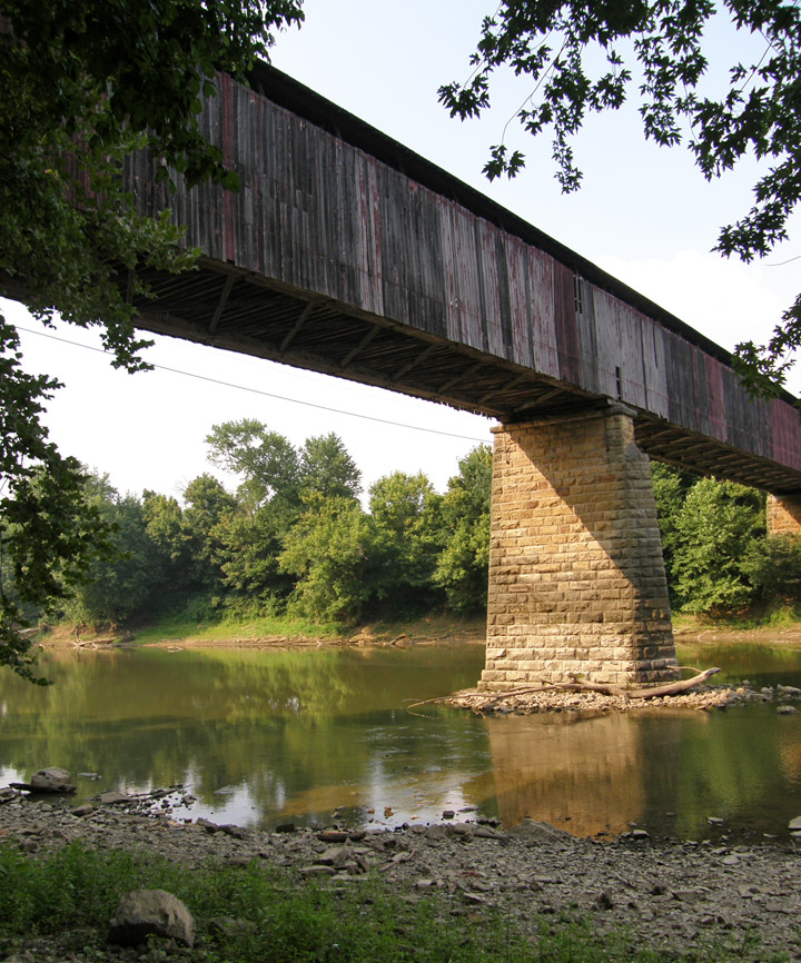
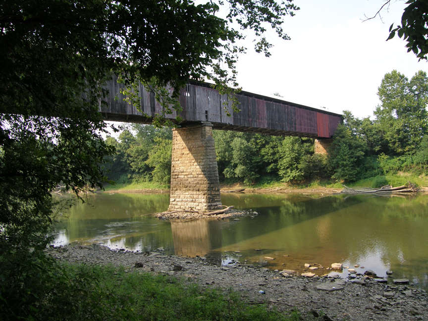
Williams Covered Bridge
Lawrence County
Williams Covered Bridge
GPS
N38 47.83
W86 39.89
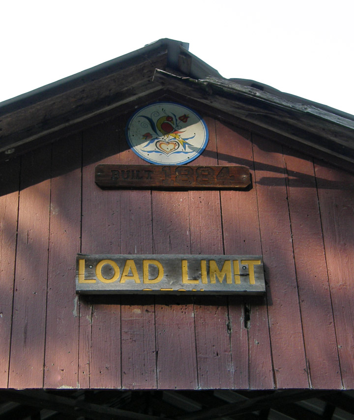
built in 1884 by Joseph J. Daniels
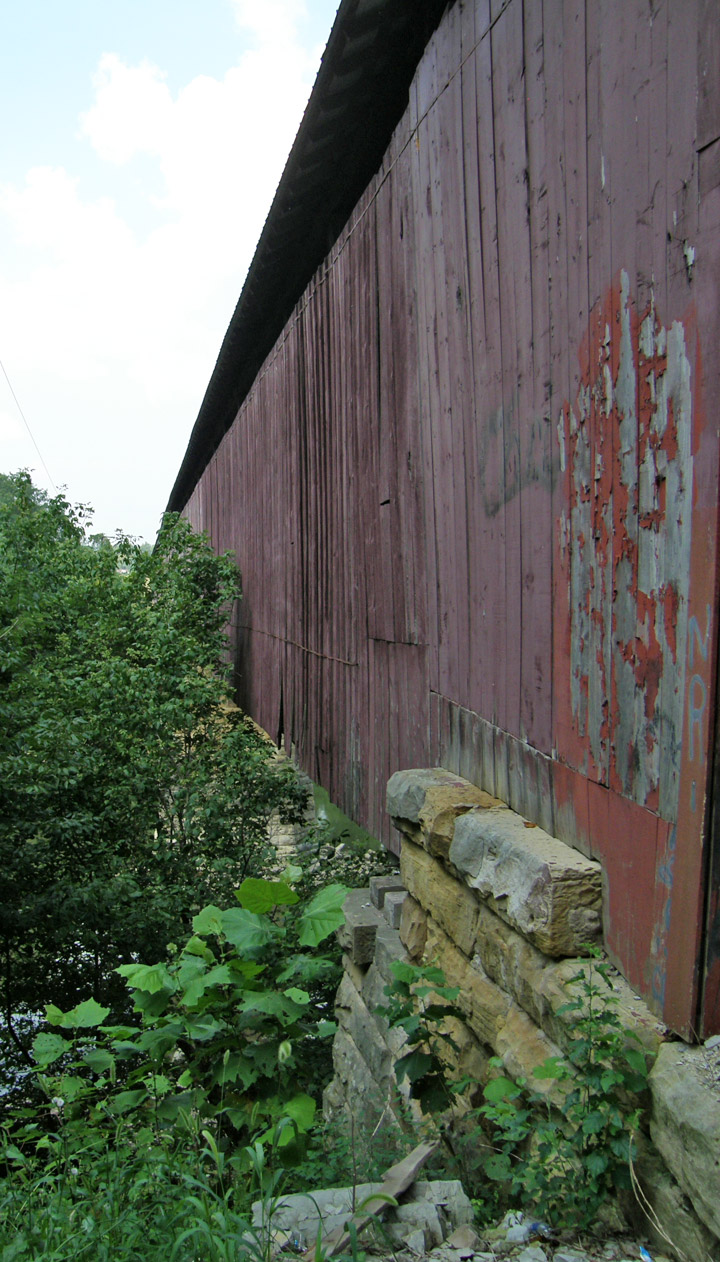
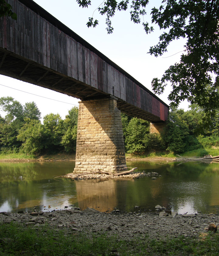
376 foot span, with two 13 foot overhangs
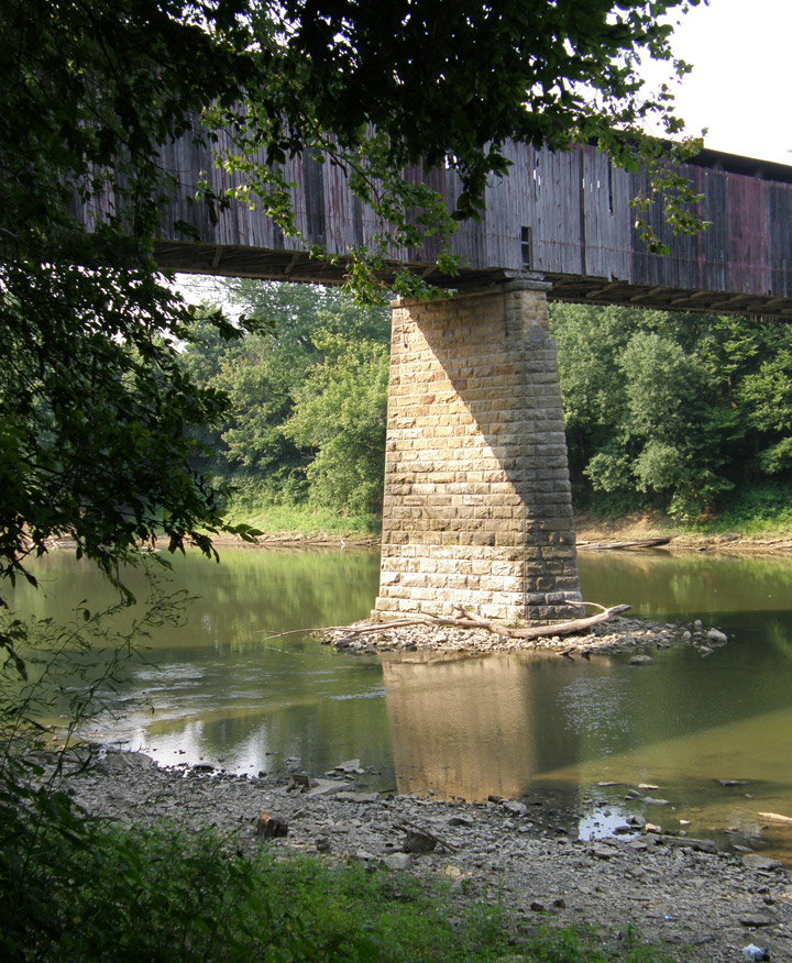
longest double span covered bridge
in Indiana
which is still open for traffic
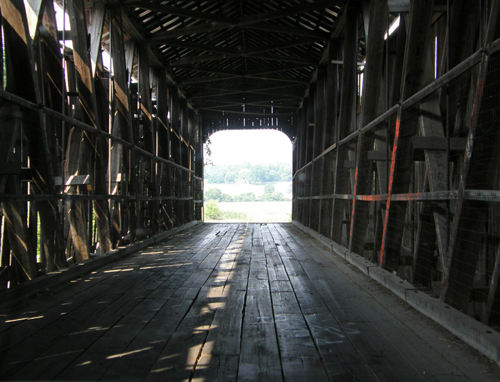
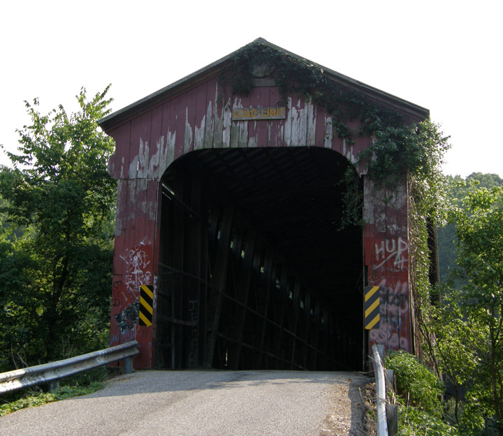
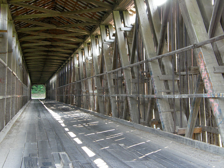
Howe Truss
Map of
Latitude: 38.7972
Longitude: -86.6648