


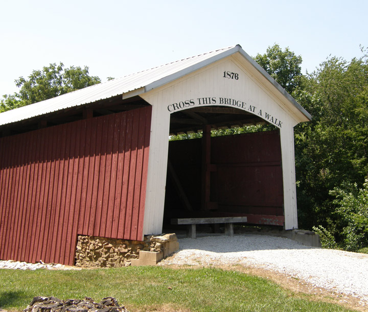
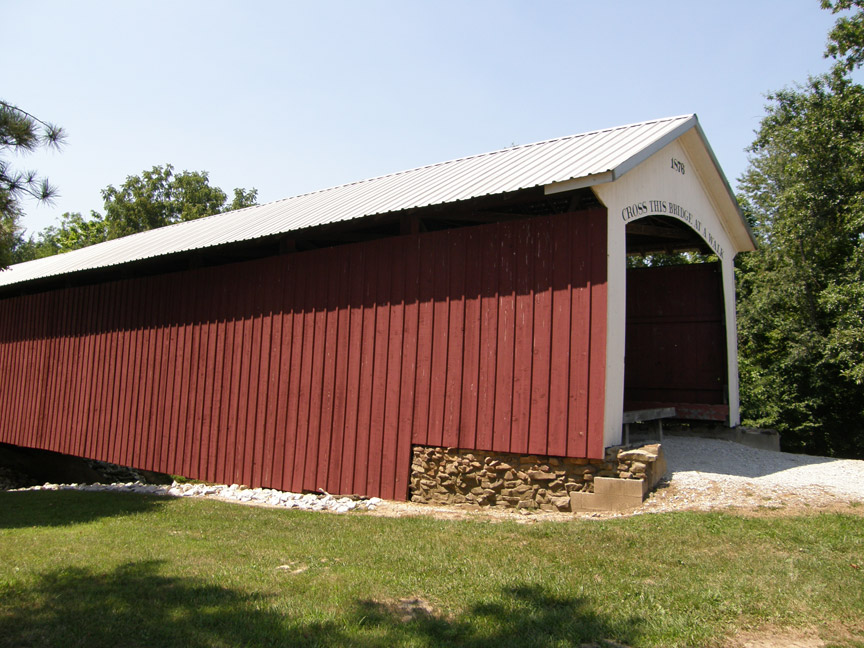
14-83-03
Hillsdale Covered Bridge
Vermillion County
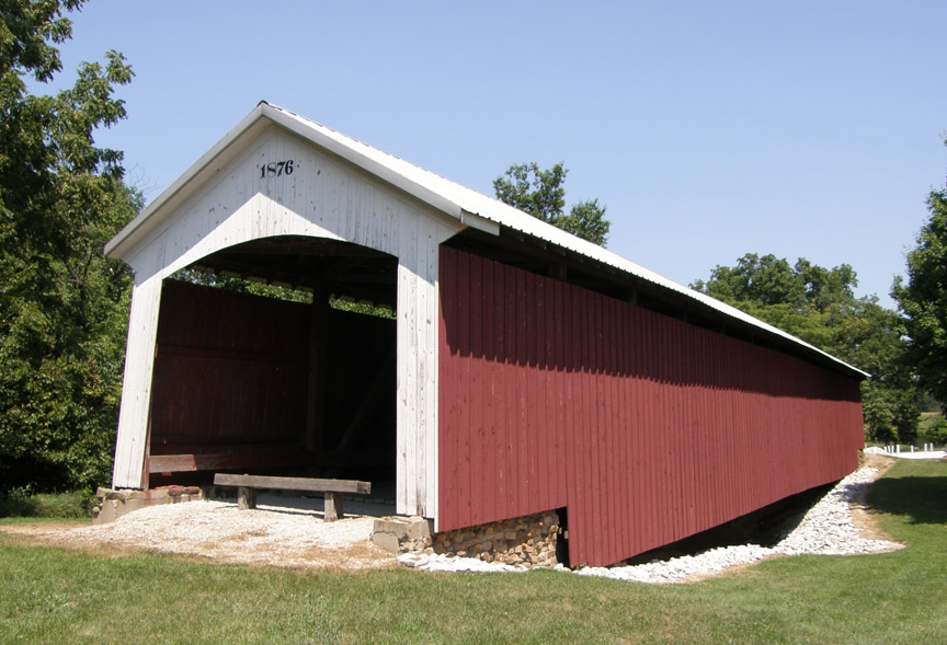
Hillsdale Covered Bridge
GPS
N39 47.84
W87 27.30
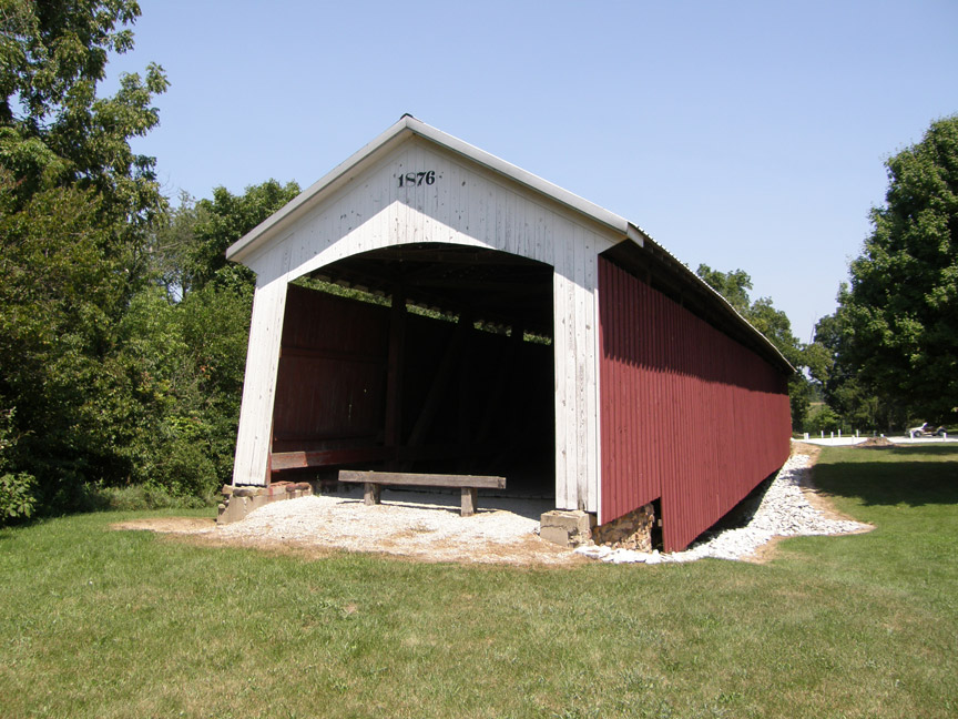
built in 1876 by Joseph J. Daniels
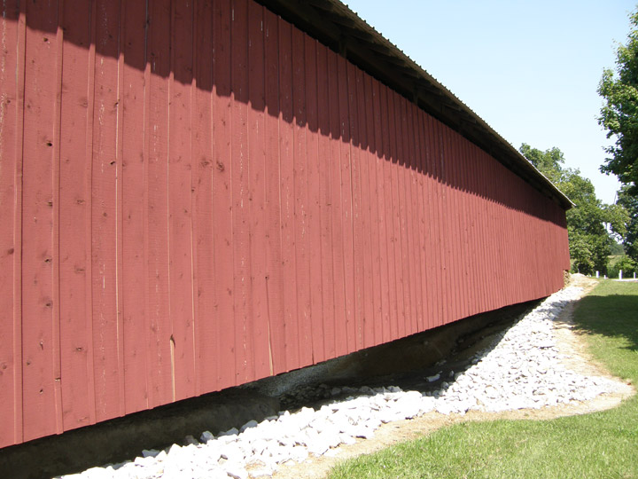
100 foot span and 10 foot overhangs at each end
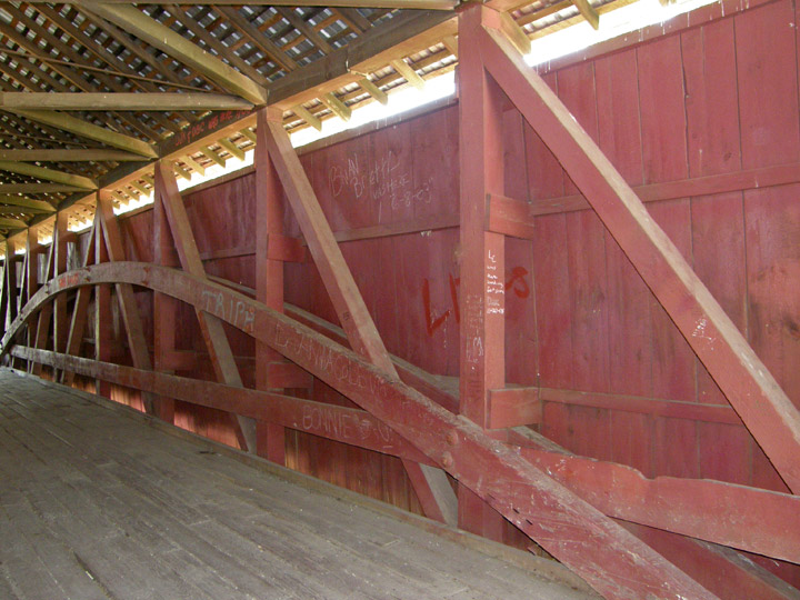
Burr Arch
Map of
Latitude: 39.7973
Longitude: -87.4550