


Saint John


Saint John is the largest city in the province of New Brunswick and the oldest incorporated city in Canada. In 2006 the city proper had a population of 68,043 and its Census Metropolitan Area (CMA) population was 122,389 (Statistics Canada 2006 Census).
The city is situated along the north shore of the Bay of Fundy at the mouth of
the St. John River.
Predated by the Maritime Archaic Indian civilization, the area of the northwestern coastal regions of the Bay of Fundy is believed to have been inhabited by the Passamaquoddy Nation several thousand years ago, while the Saint John River valley north of the bay became the domain of the Maliseet Nation.
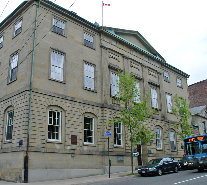
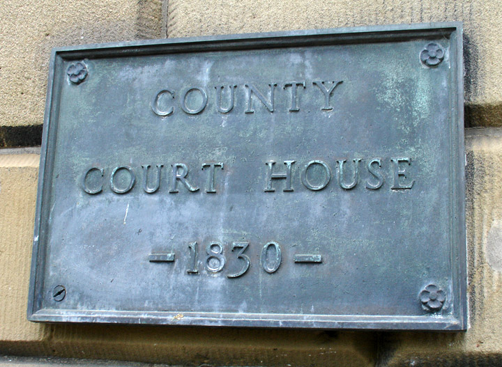
County Court House
The mouth of the Saint John River was first discovered by Europeans in 1604 during a reconnaissance of the Bay of Fundy undertaken by French cartographer Samuel de Champlain. The day upon which Champlain sighted the mighty river was St. John The Baptist's Day, thus the name for the river Fleuve St-Jean (St. John River).
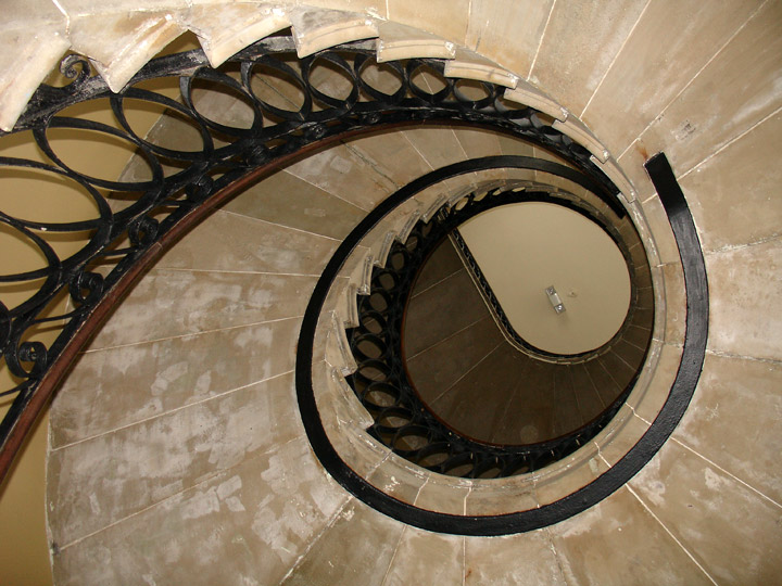
stairwell in the court house
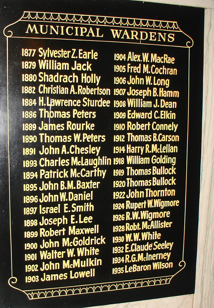
long past Wardens
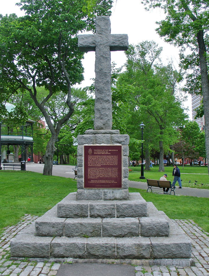
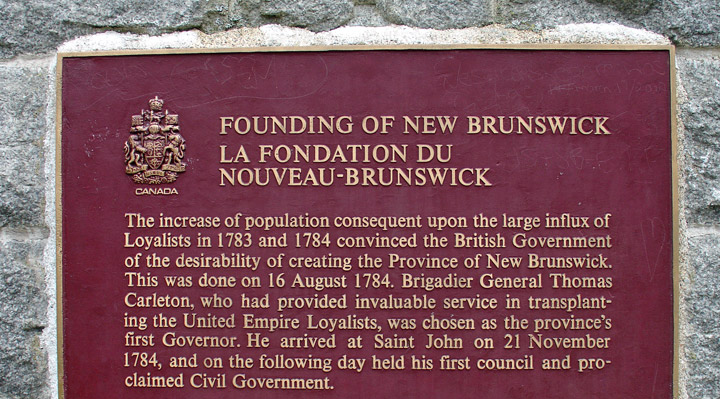
The strategic location at the mouth of the St. John River came to be fortified by Charles de la Tour in 1631. After several wars between the French and the British, Saint John passed to the British. Fort LaTour was renamed in 1758 as Fort Frederick. Fort Frederick was destroyed during the American Revolutionary War and Fort Howe was built nearby at the insistence of newly-arriving Loyalist refugees. The Haldimand Collectionis a source for historians in the study of American Loyalists settlement in New-Brunswick. For more complete information, researchers are encouraged to contact the Provincial Archives of New Brunswick, the New Brunswick Museum, the University of New Brunswick or one of the many other local historical societies and museums.
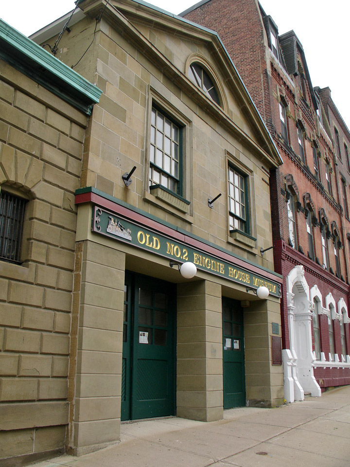
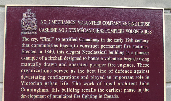
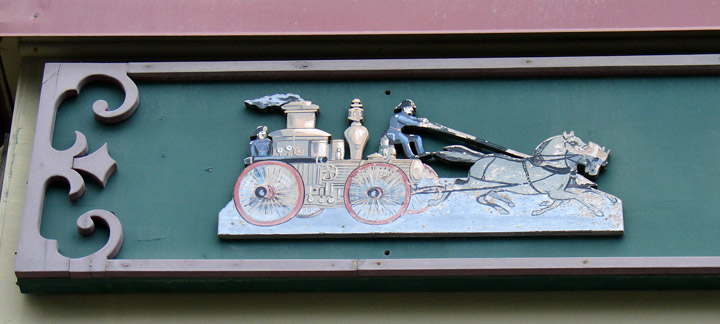
Engine House
The Loyalist-dominated communities of Parrtown and Carleton developed around Fort Howe and both towns were amalgamated by Royal charter to become the City of Saint John in 1785, making it the first incorporated city in British North America (present-day Canada). During the American Revolutionary War and the War of 1812, the city's location made it a probable target of attacks, thus several military forts were constructed, namely Fort Dufferin and one of Canada's sixteen Martello Towers.
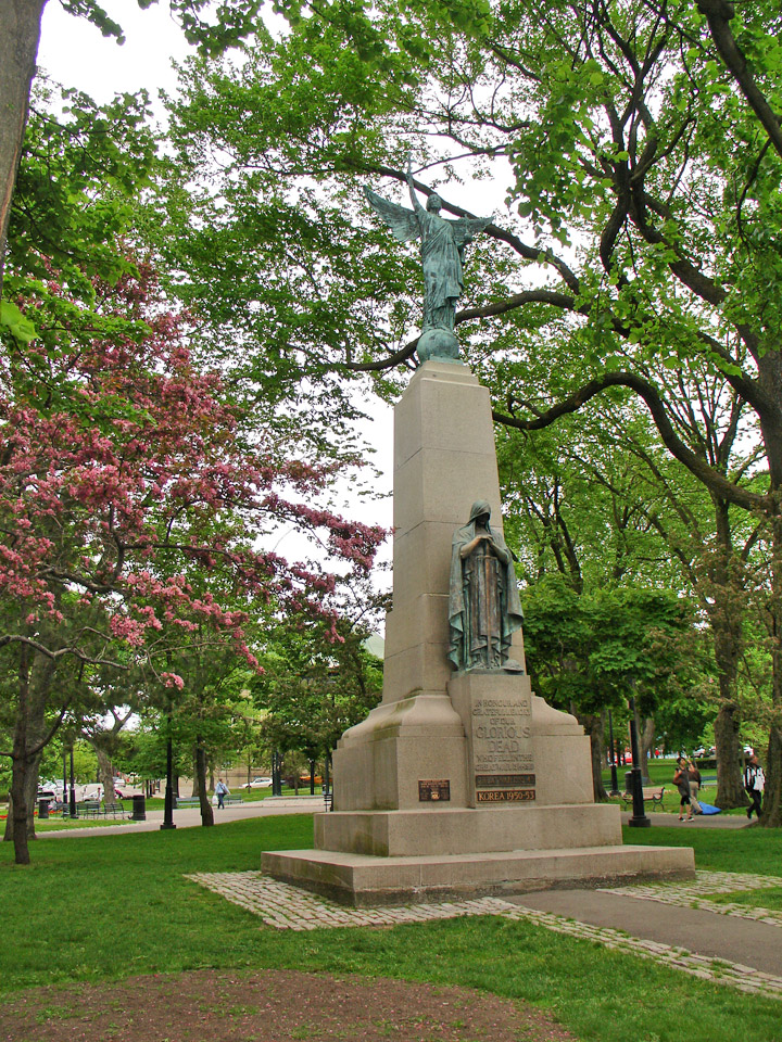
memorial to the dead in foreign wars
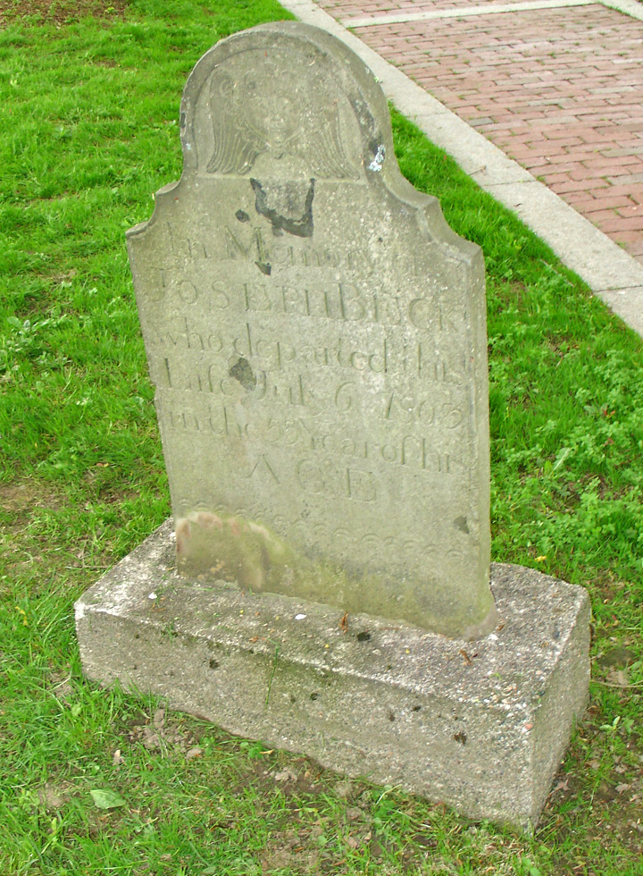
grave in the early central burying ground
The Irish potato famine saw the city's largest immigrant influx occur, with the government forced to construct a quarantine station and hospital on Partridge Island at the mouth of the harbor to handle the new arrivals. These immigrants changed the character of the city and surrounding region from its Loyalist-Protestant heritage with their Irish-Catholic tradition.
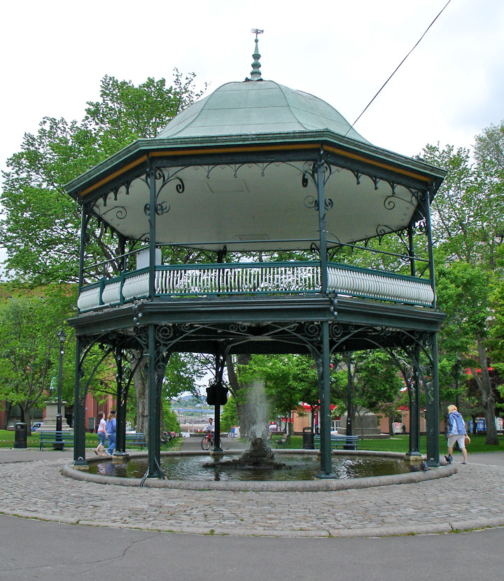
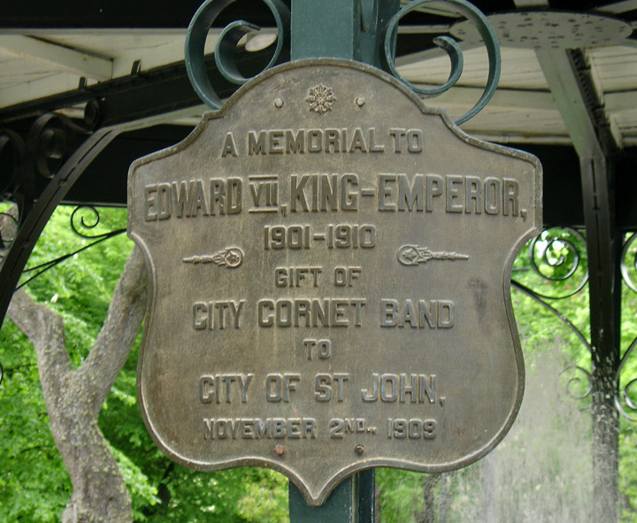
band stand
Saint John became the province's leading industrial centre during the nineteenth century, fostering a shipbuilding trade that lasted until 2002. Much of the city's shipbuilding industry was concentrated on the mudflats of Courtney Bay on east side. One local shipyard built the famous sailing ship Marco Polo. Due to its location for railways and servicing the triangle trade between British North America, the Caribbean, and the United Kingdom, the city was poised to be one of Canada's leading urban centres, however a disastrous fire in 1877 destroyed a large portion of the central business district.
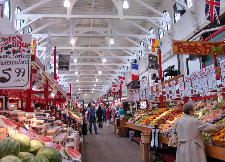
Interior of the City Market which survived the 1877 fire.
More Photos of the City Market
During the First World War, the city became a trans-shipment point for the British Empire's war effort. The Second World War saw the port decline in importance due to the U-boat threat which saw Halifax's protected harbour offer improved convoy marshaling. However, manufacturing expanded considerably, notably the production of veneer wood for De Havilland Mosquito bomber aircraft. On account of the U-boat threat, additional batteries facilities were installed around the harbour.
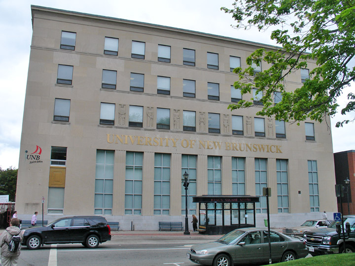
University of New Brunswick
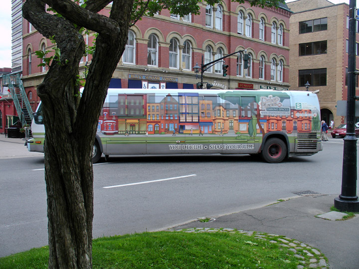
attractive bus Art
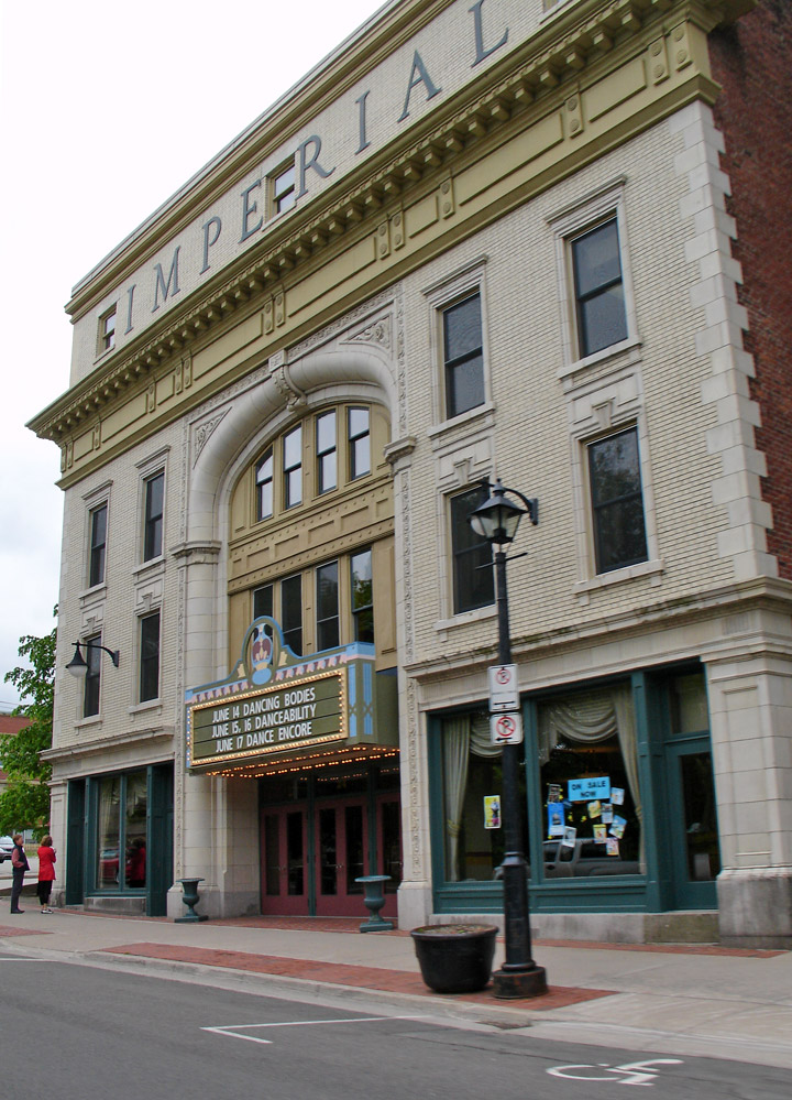
Imperial Theater
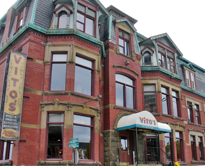
Vito's Italian Restaurant
Saint John's first airport was located north of the business district at Millidgeville. This location on a plateau overlooking the Kennebecasis River was a summer cottage area used by local residents to escape the coastal fog from the Bay of Fundy. It was here in 1932 where Amelia Earheart landed during her solo trans-Atlantic flight. The current Saint John Airport was developed post-war and is located in the eastern part of the city.
Text from Wikipedia
near the port
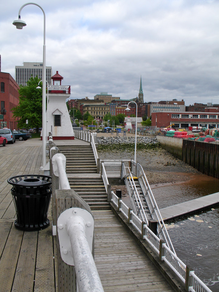
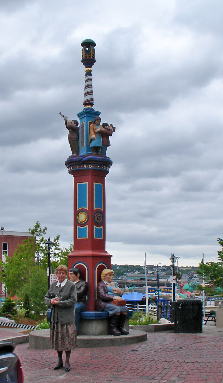
the spot where the Loyalists landed in 1783
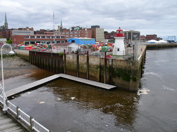
the adjacent pier which is now used
by the Canadian Coast Guard
(tents in background host the increasing number of cruise ships)
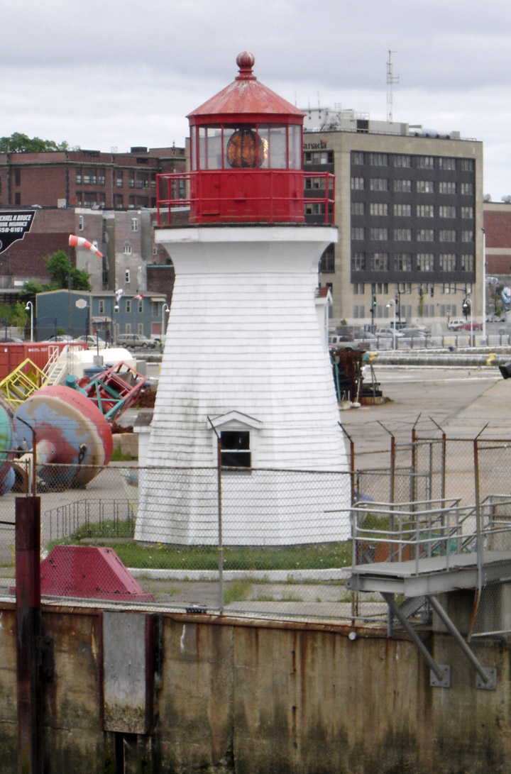
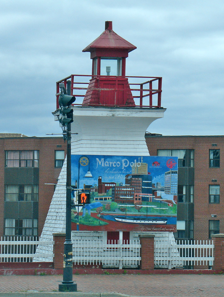
the Lighthouse on that pier
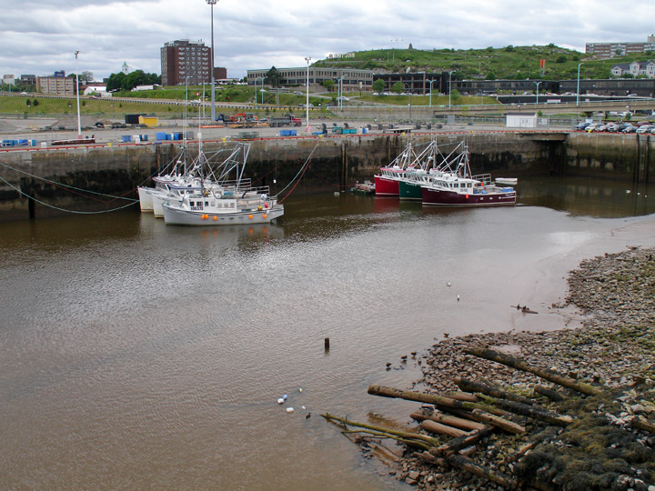
waterfront at low tide
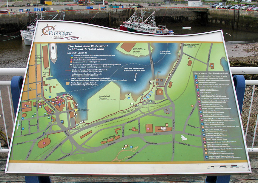
plan of the waterfront
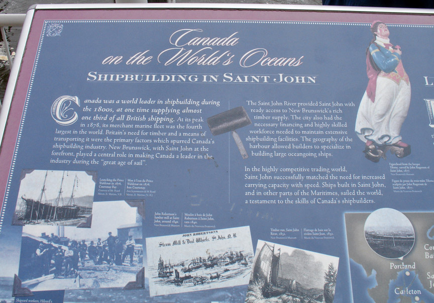
shipbuilding in Saint John
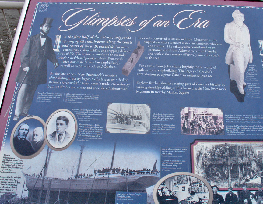
the boom days
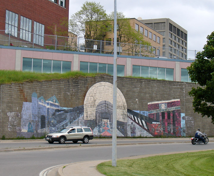
town mural
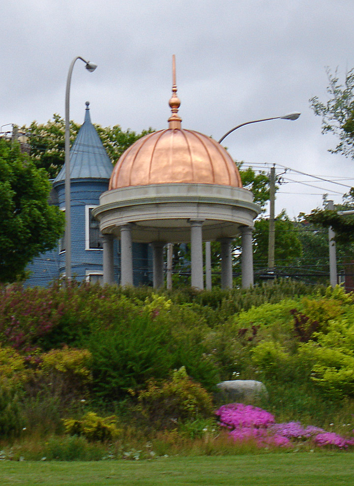
dome which survived a demolished building