


38-36-28
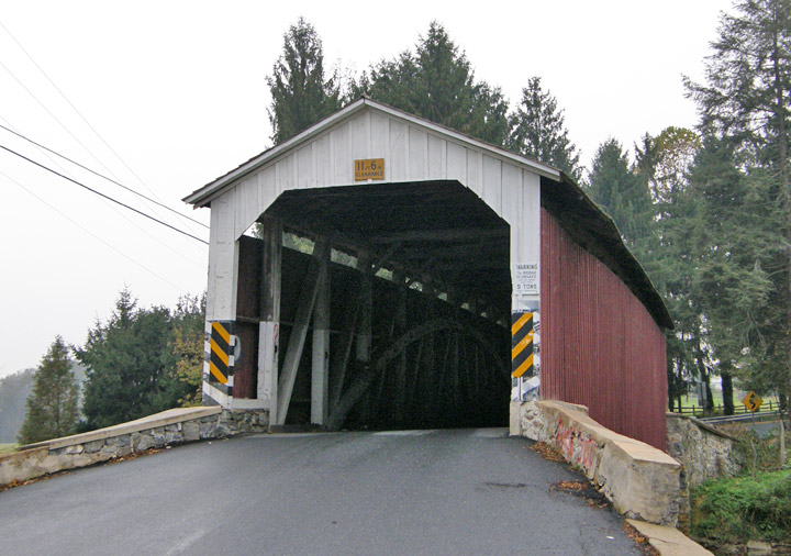
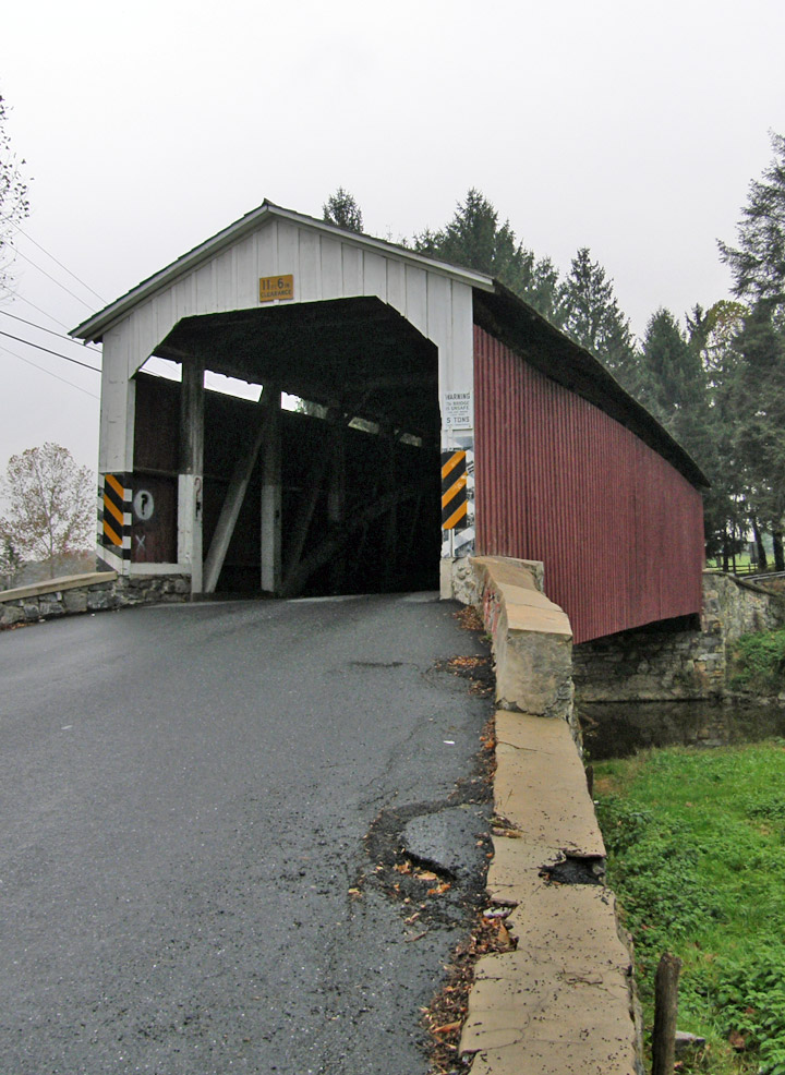
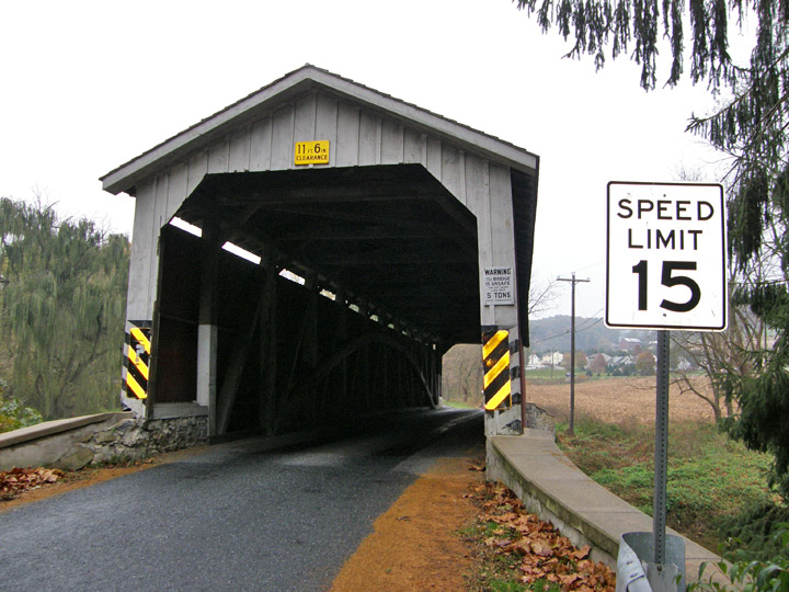
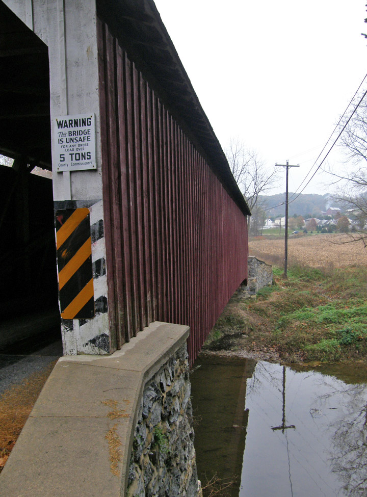
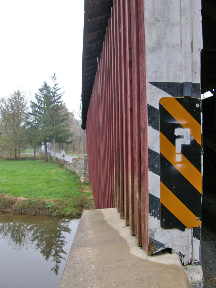
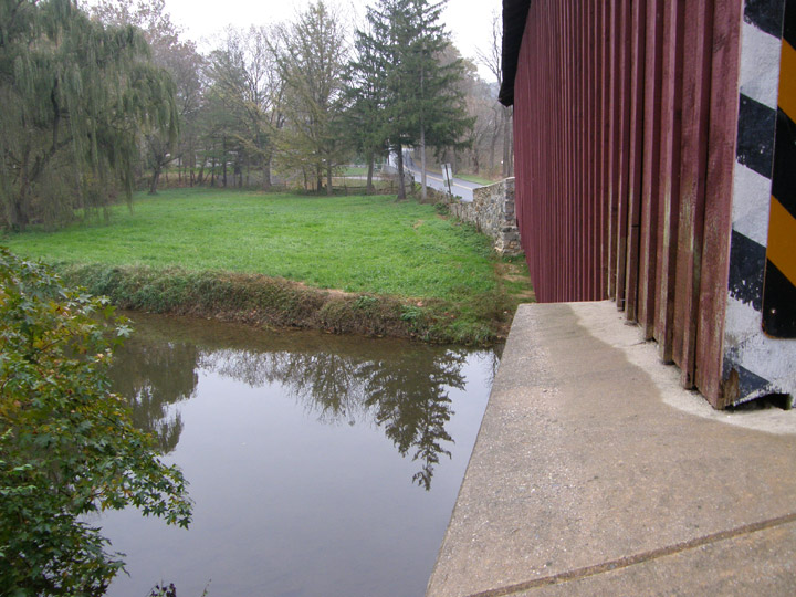
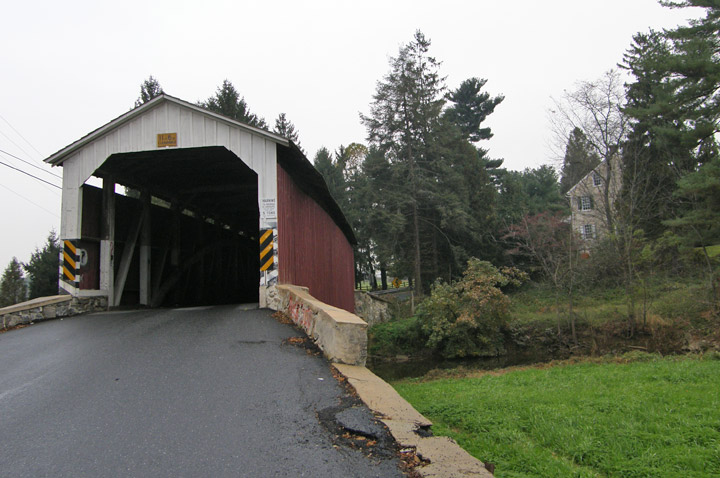
Forry's Mill Covered Bridge
Lancaster County
GPS
Latitude:
N40 04.05
Longitude:
W76 28.68
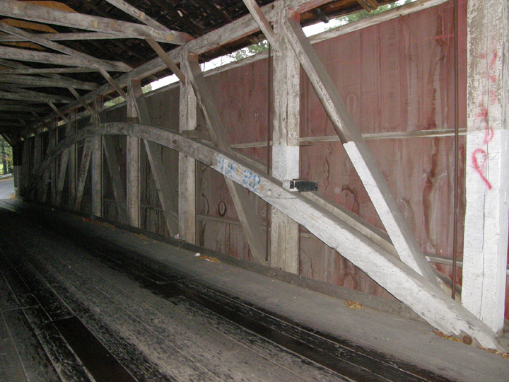
Burr Arch Truss
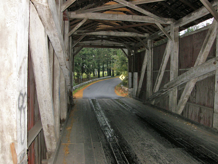
built in 1869
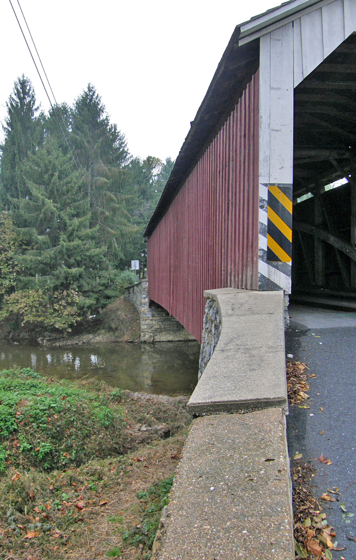
103 foot span
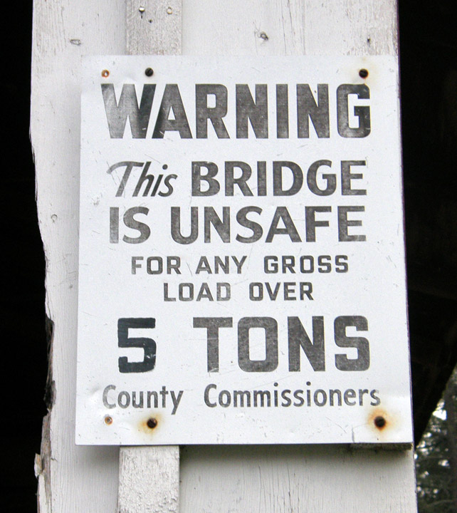
Lancaster County warning
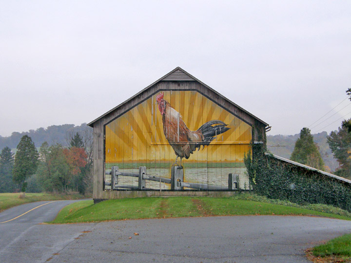
chicken farm
Map of
Latitude: 40.0675
Longitude: -76.4780