
Svalbard
and the island of
Spitsbergen


Svalbard, formerly Spitsbergen, archipelago in the Arctic Ocean, about midway between Norway and the North Pole, and belonging to Norway. It comprises all lands between latitude 74░ North and latitude 81░ North and between longitude 10░ East and longitude 35░ East. The principal islands are Spitsbergen, Nordaustlandet, Barents°ya, Edge°ya, Kong Karls Land, Prins Karls Forland, and Bj°rn°ya. Coal mining is the major industry.
evidence of early Norwegian whaling operations
The islands appeared in early Norwegian stories and they were rediscovered by a Dutch expedition under the navigator Willem Barents in 1596.
graves of those who died
grave raised by permafrost
No settlements were founded until after the Norwegians began mining coal here in the 1890s. In 1920, Norway's claim to the islands was formally recognized. Russia has mining rights and maintains settlements in Svalbard. Area, about 62,160 sq km (about 24,000 sq mi); population (1991) 3309.
groundcover flowering during the short growing season
makes a colorful landscape
also rocks with colorful lichens
seals are seen on the ice
gulls in the water
guillemots nesting on the cliffs
a puffin in the water
and even glacier ice looking like a whale
Longyearbyen is the modern tourist administrative village

Russian Peace slogan on hill above Barentsburg

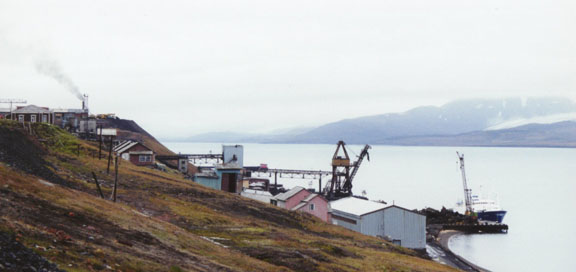
a Russian coal mining community operation

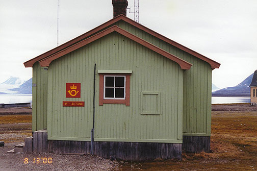
Northernmost Post Office in Ny ┼lesund

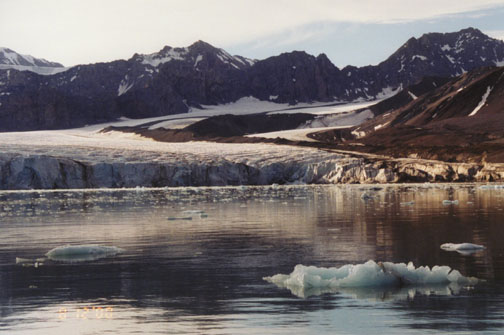
Other Photos of the Glaciers of Spitsbergen

at the 80th Latitude
Photos of Reaching the 80th North Latitude
![]()
![]()