45-01-05

45-01-01 45-01-03 45-01-04 45-01-05

45-01-05

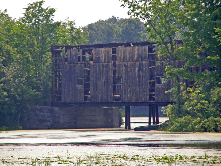
Shoreham Covered Railroad Bridge

Addison County


Shoreham Covered Railroad bridge

GPS

N 43 deg 51.536 min

W 73 deg 15.161 min

  Map of Latitude: 43.858933
Longitude: -73.252683


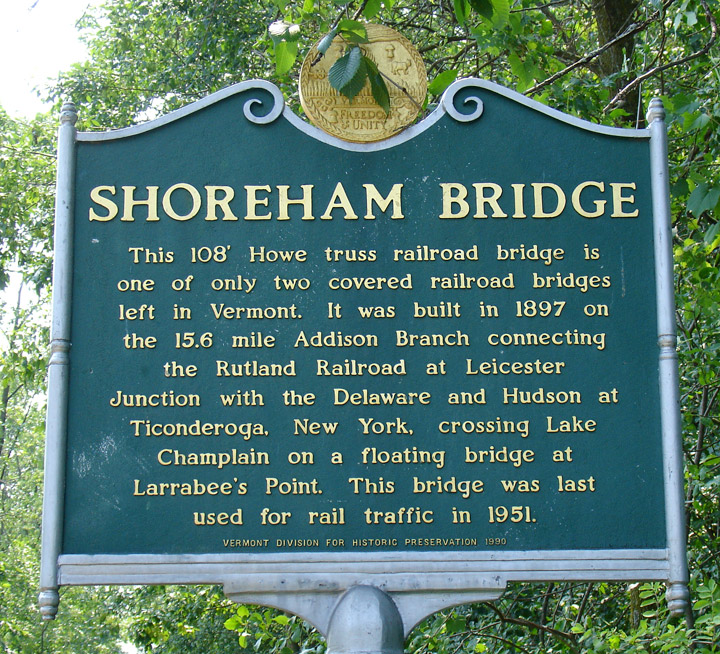
Length: 109', built in 1897, with Howe Truss construction


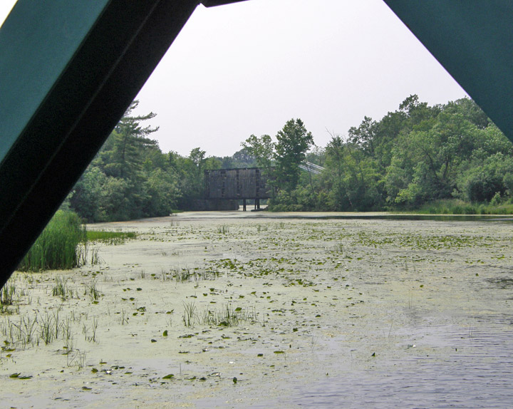
currently under major reconstruction (2007)


45-01-01 45-01-03 45-01-04 45-01-05

Addison County Bennington County Caledonia County Essex County Franklin County Lamoille County Orange County Orleans County Rutland County Washington County Windham County Windson County

World Heritage Mosaics Roman World Africa Antarctica Asia Atlantic Islands Australia Caribbean Central America Europe Indian Ocean Middle East North America Pacific Islands South America The Traveler Recent Adventures Adventure Travel


People and Places