©Dr. Galen Royer Frysinger
Burma
January 26, 1984 to
February 2. 1984
The Ayeyarwady River or Irrawaddy River is a river that flows through Burma
(Myanmar). It is the country's largest river (about 1350 miles or 2170 km long) and
its most important commercial waterway, with a drainage area of about 158,700
square miles (411,000 km²).
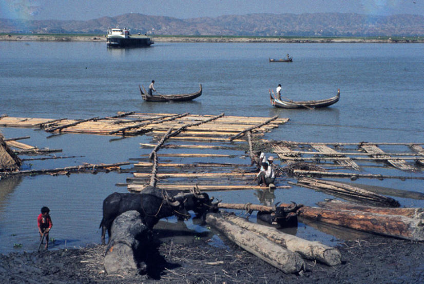
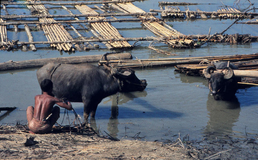
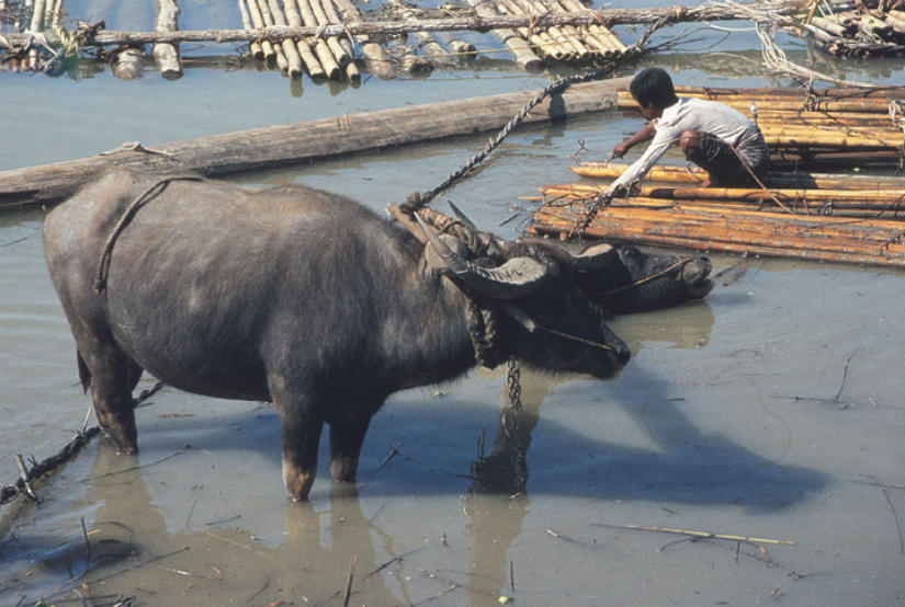
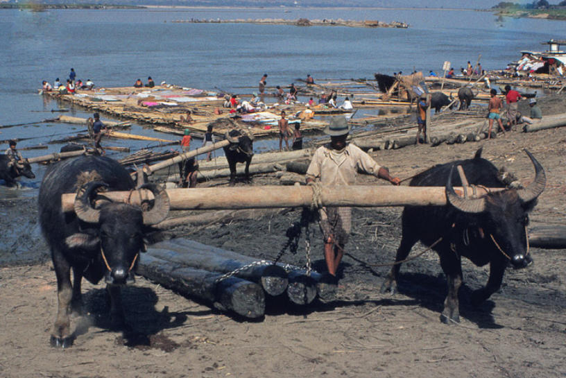
Irrawaddy River at Mandalay
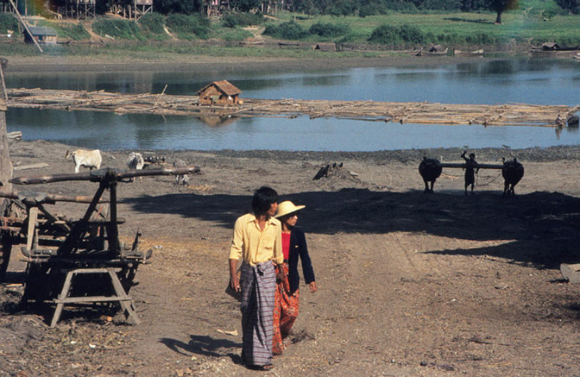
lumber raft
The Ayeyarwaddy River bisects the country from north to south and empties through
a nine-armed delta into the Indian Ocean. In colonial times, before railways and
automobiles, the river was known as the "Road to Mandalay". Although navigable by
large vessels to Myitkyina for a distance over 1600 km from the ocean, the river is
also full of sandbanks and islands, making such navigation difficult. For many years,
the only bridge built to cross the Ayeyarwady River was the Inwa Bridge.
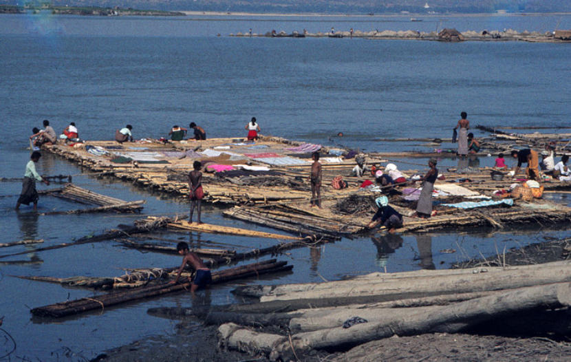
dissembling the lumber raft