


Mobile Bay
Mobile Bay is an inlet of the Gulf of Mexico, lying within the state of Alabama in the United States. Its mouth is formed by the Fort Morgan Peninsula on the eastern side and Dauphin Island, a barrier island on the western side. The Mobile River and Tensaw River empty into the northern end of the bay, making it an estuary. Several smaller rivers also empty into the bay: Dog River, Deer River, and Fowl River on the western side of the bay, and Fish River on the eastern side. Mobile Bay is the fourth largest estuary in the United States with a discharge of 62,000 cubic feet (1,800 m3) of water per second.

Mobile Bay is 413 square miles (1,070 km2) in area. It is 31 miles (50 km) long
by a maximum width of 24 miles (39 km).[1] The deepest areas of the bay are
located within the shipping channel, sometimes in excess of 75 feet (23 m) deep,
but the average depth of the bay is 10 feet (3 m).

Spanish explorers were sailing into the area of Mobile Bay as early as 1500,
with the bay being marked on early maps as the Bahía del Espíritu Santo (Bay of
the Holy Spirit). The area was explored in more detail in 1516 by Diego de
Miruelo and in 1519 by Alonso Álvarez de Pineda. In 1528, Pánfilo de Narváez
travelled through what was likely the Mobile Bay area, encountering Native
Americans who fled and burned their towns at the approach of the expedition.
This response was a prelude to the journeys of Hernando de Soto, more than
eleven years later.

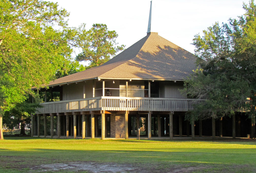
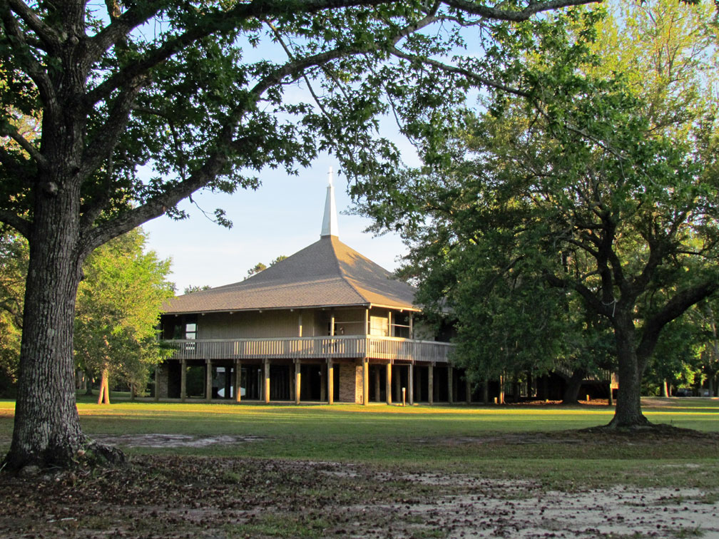
at the 5 rivers park
Hernando de Soto explored the area of Mobile Bay and beyond in 1540, finding the area inhabited by a Muskhogean Native American people. During this expedition his forces destroyed the fortified town of Mauvila, also spelled Maubila, from which the name Mobile was later derived. This battle with Chief Tuscaloosa and his warriors took place somewhere in inland Alabama, well to the north of the current site of Mobile. The next large expedition was that of Tristán de Luna y Arellano, in his unsuccessful attempt to establish a permanent colony for Spain nearby at Pensacola in 1559.
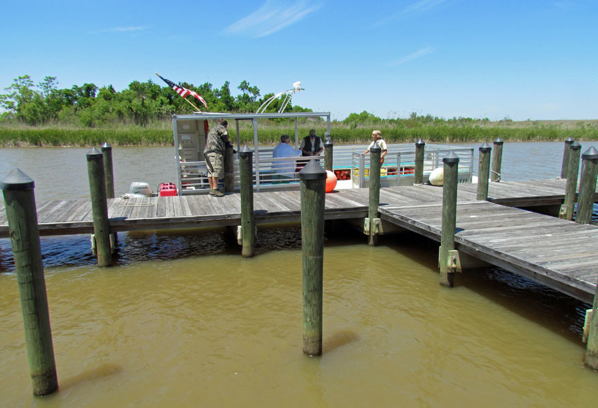
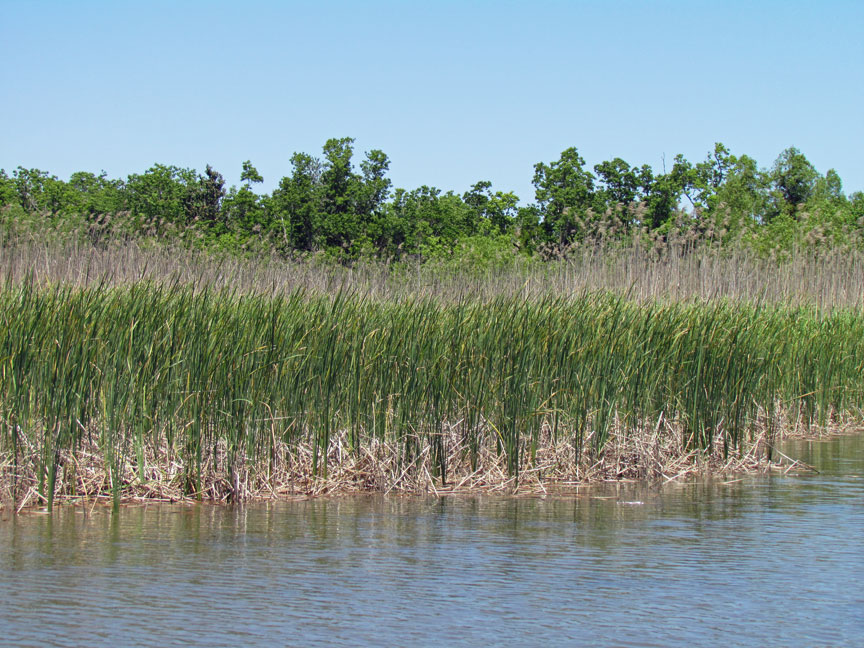
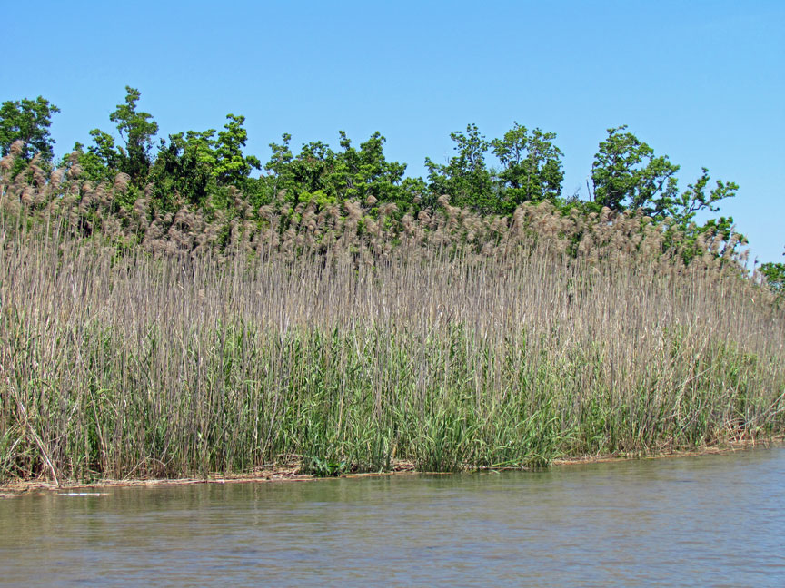
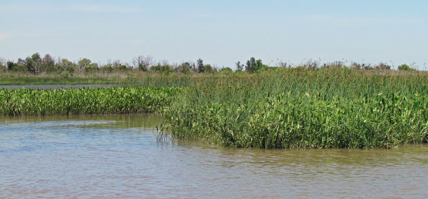
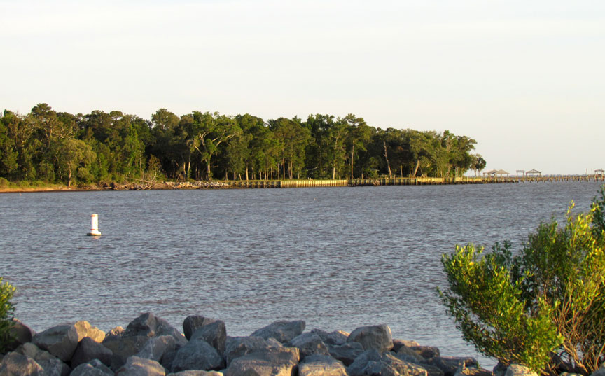
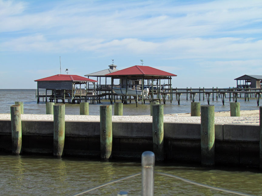
take a boat ride through the Mobile Bay marshes
Although Spain's presence in the area had been sporadic, the French created a deep-sea port at Dauphin Island and founded French Louisiana's capital at Mobile, a few miles north of Mobile Bay on the Mobile River in 1702. The original settlement of Fort Louis de la Mobile was relocated in 1711 to the head of Mobile Bay following a series of floods.
On August 5, 1864, during the American Civil War, Admiral David Farragut led a
Union flotilla through Confederate defenses and sealed one of the last major
Southern ports of the bay in the Battle of Mobile Bay.
Mobile's role as a seaport has continued to the present day, though the
commodities have changed through time. Cotton was the chief commodity in the
nineteenth century. During the Second World War, Mobile's shipbuilding industry
expanded and the city's population surged. Growth has been rapid since then.
The city has endured several devastating hurricanes in its history, the most
recent being Hurricane Frederic in 1979 and Hurricane Katrina in 2005. Areas of
low elevation, including the downtown business district, have been flooded
repeatedly in hurricanes. However, much of the city is at an elevation exceeding
200 feet (61 m) above sea level, which is unusually high for the Gulf and
Atlantic Coasts.
On September 13, 1979, Hurricane Frederic entered the bay with winds reaching
145 miles per hour (233 km/h), destroying the bridge to Dauphin Island. On
August 28–29, 2005, Hurricane Katrina pushed a massive storm surge into Mobile
Bay, measuring 16 feet (4.9 m) high at Bayou La Batre (Alabama), with higher
waves on top, and 12 feet (3.7 m) high at Mobile, at the far northern end of
Mobile Bay. Thousands of boats, piers, and beach houses were damaged by waves
exceeding 22 feet (6.7 m) high, and the battleship USS Alabama was pushed off
her moorings, leaving her listing to port (tilted to the left). Downtown Mobile
was flooded several feet, and the south-end towns of Bayou La Batre and Bon
Secour were severely damaged. Dozens of vessels of various sizes were left
stranded inland.
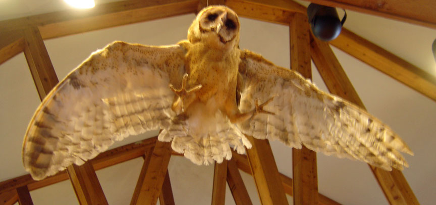
Barn Owl

The city of Mobile is situated at the head of the bay on the western shore. On
the Eastern Shore of the bay are found several small communities, including
Spanish Fort, Daphne, Fairhope, Point Clear, and Bon Secour. The town of Gulf
Shores lies just outside of the bay, on the Fort Morgan peninsula. The Middle
Bay Lighthouse has been located in the center of the bay since 1885.
Text from Wikipedia
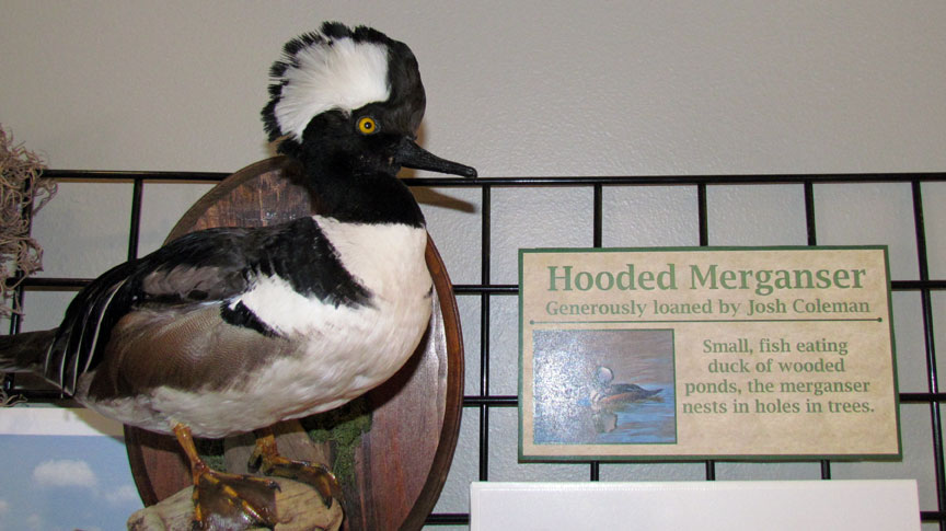
Hooded Merganser


Possum

Bore

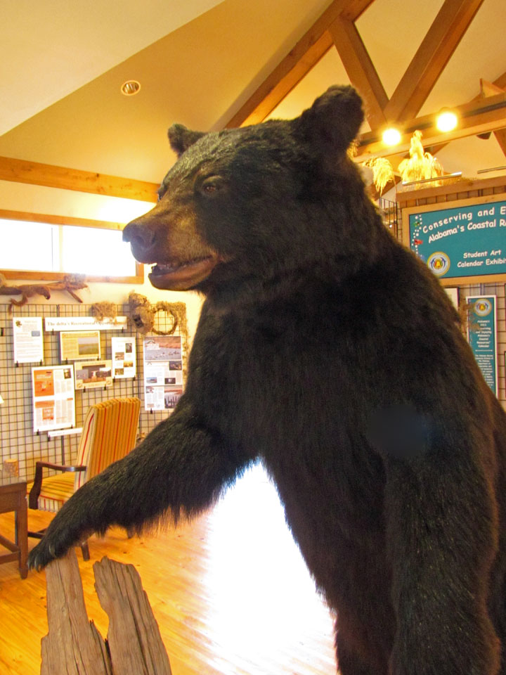
Black Bear
Weeks Bay

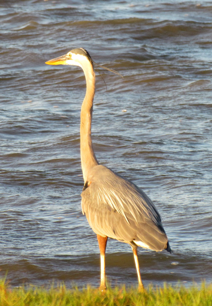
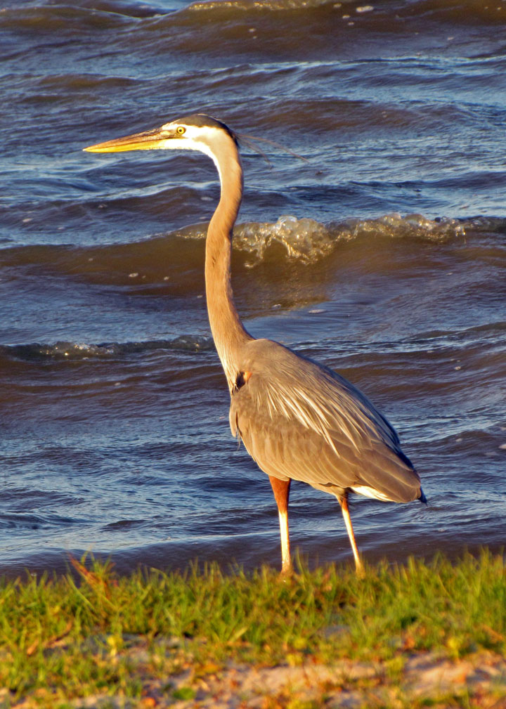
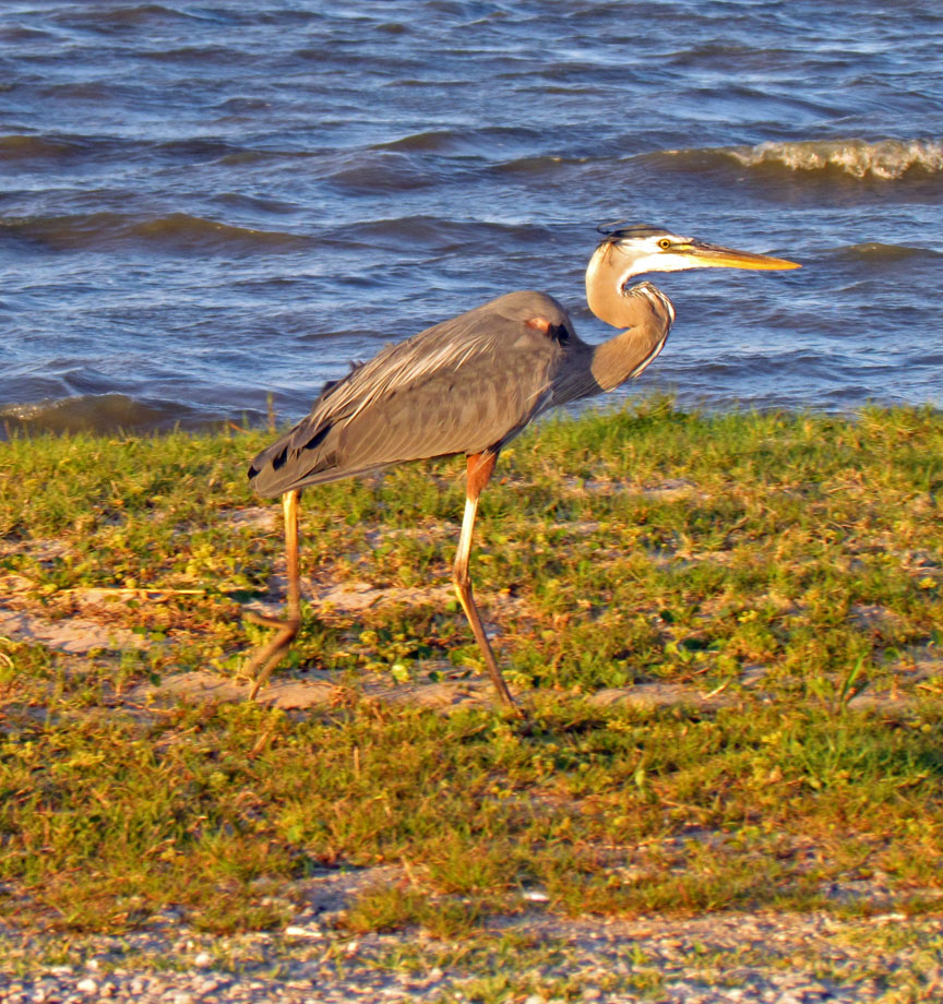
Heron
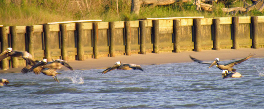
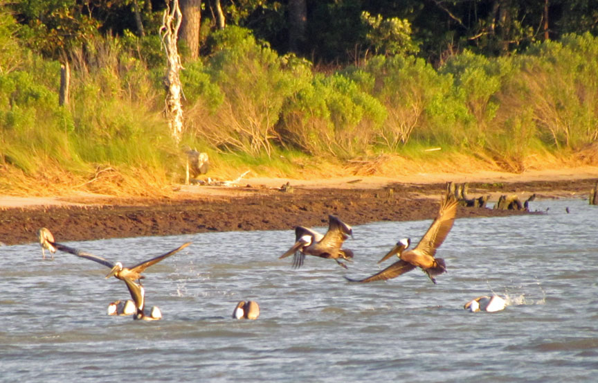
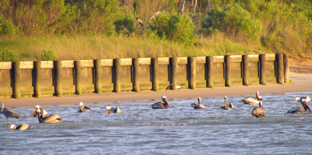
Pelicans

Gull

offering an opinion !
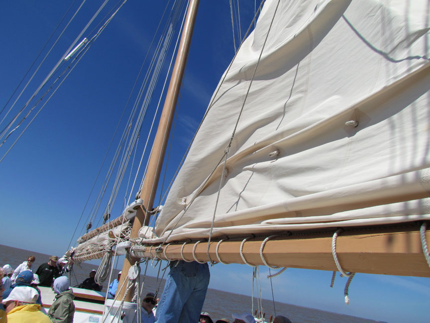
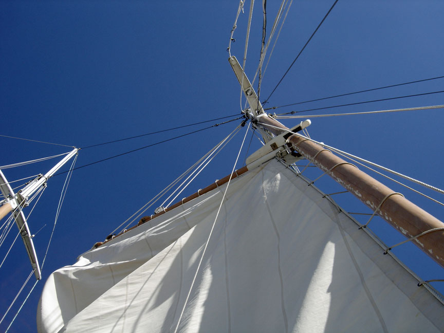
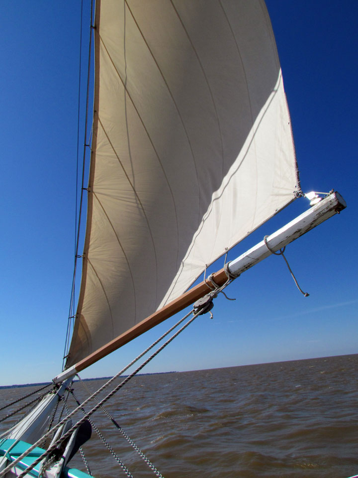
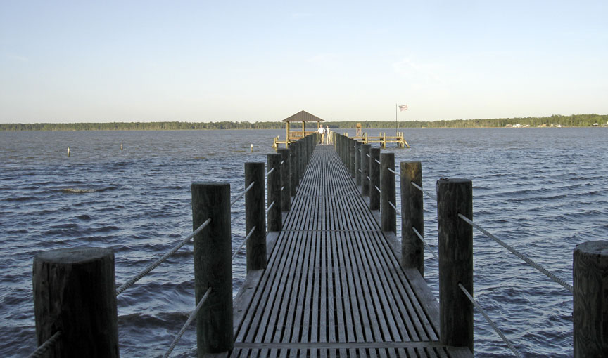
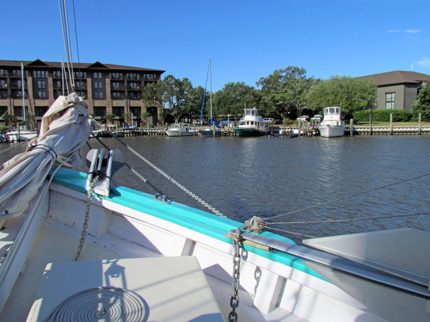
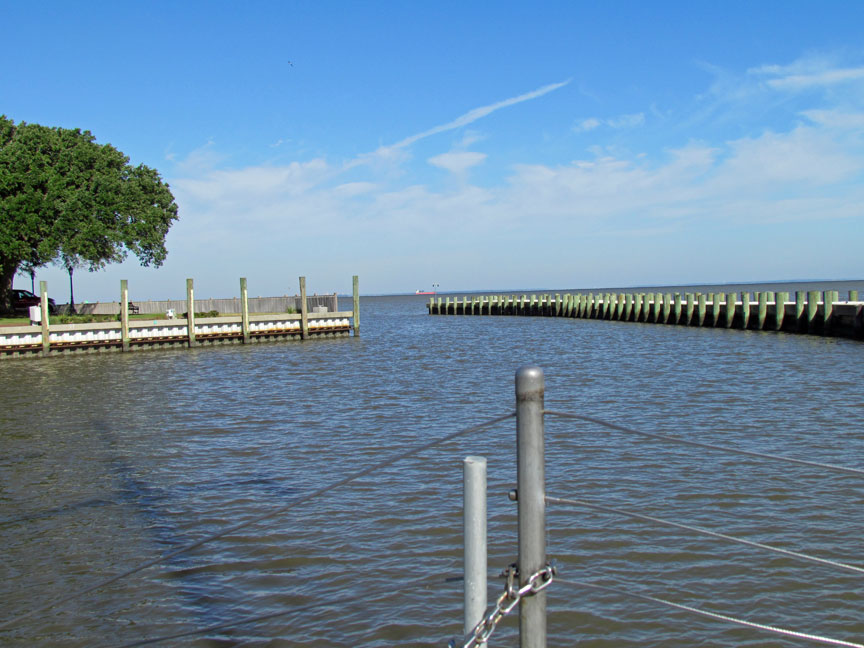
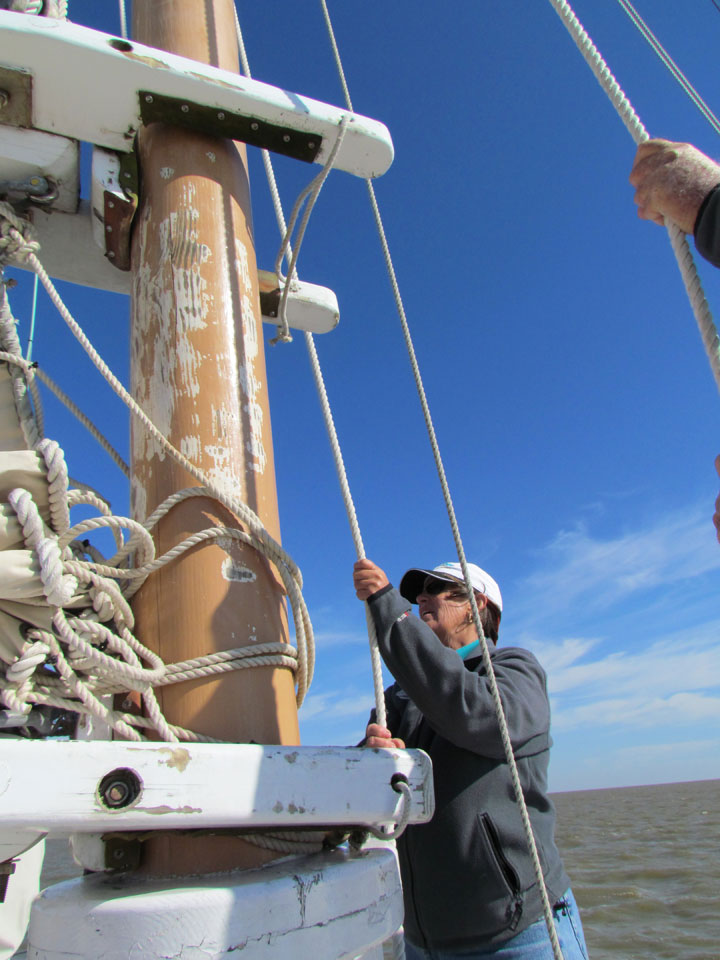
Sailing on Mobile Bay
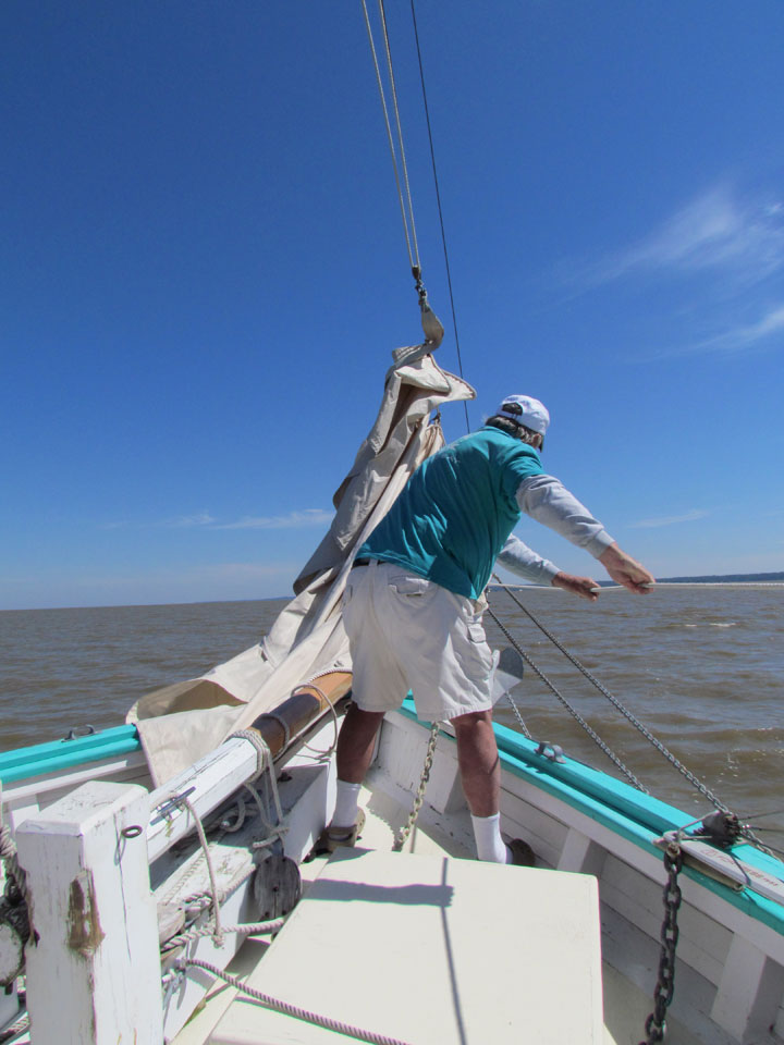
preparing the jib
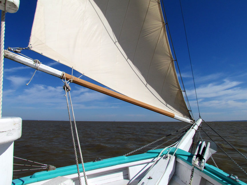
raising the fore sail