


Fort Conde
Fort Conde
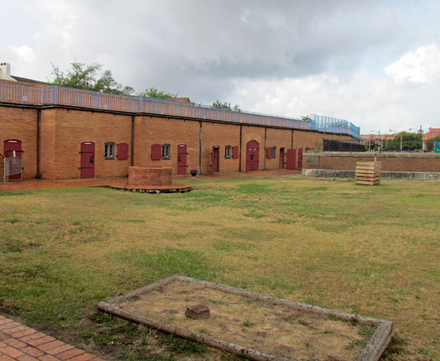
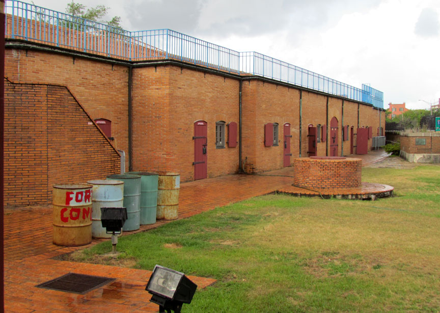
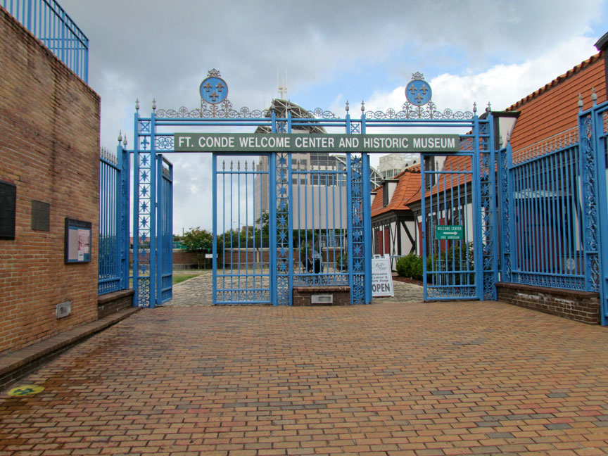
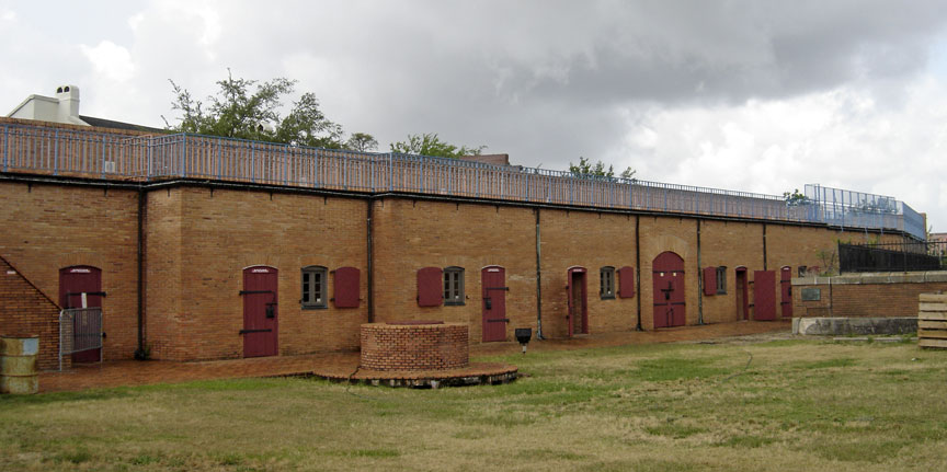
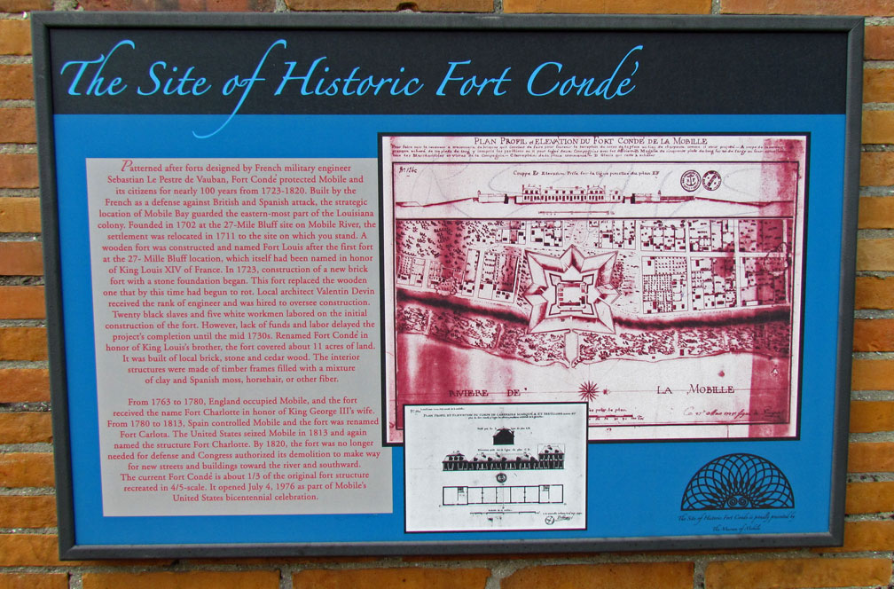
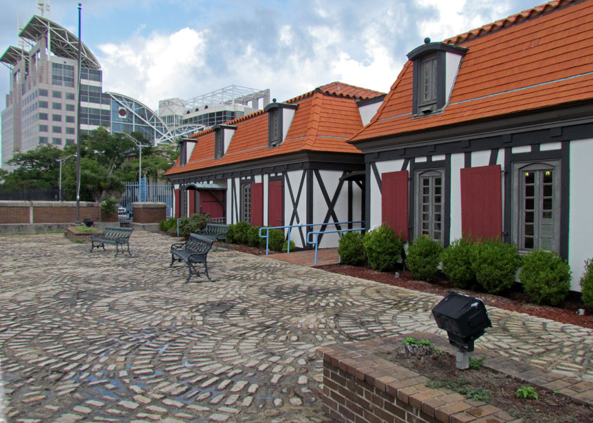
Fort Conde, located in Mobile, Alabama, at 150 South Royal Street, is a reconstruction, at 4/5 scale, as a third of the original 1720s French Fort Condé at the site, also known as Fort Carlota (under Spanish rule) and also Fort Charlotte (under British or American rule).
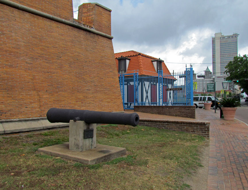
The current Fort Conde, spanning almost 1/3 of the original fort, was recreated
at 4/5-scale on the site. The new Fort Conde was opened on July 4, 1976, as part
of Mobile’s celebration of the United States bicentennial.
Mobile was originally founded by Jean-Baptiste Le Moyne de Bienville in 1702 as
Fort Louis de la Mobile at 27-Mile Bluff up river (27 miles [43 km] from the
mouth). After the Mobile River flooded and damaged the fort, Mobile was
relocated in 1711 to the current site. A temporary wooden stockade fort was
constructed, also named Fort Louis after the old fort up river. In 1723,
construction of a new brick fort with a stone foundation began, renamed later as
Fort Condé in honor of King Louis XIV’s brother.
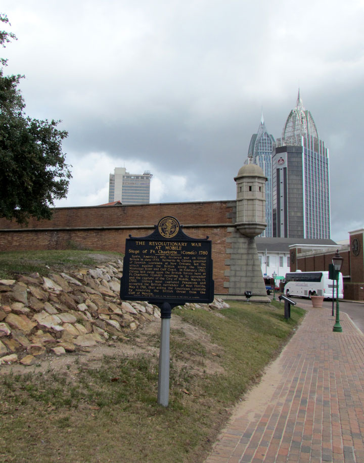
Fort Condé guarded Mobile and its citizens for almost 100 years, from 1723-1820.
The fort had been built by the French to defend against British or Spanish
attack on the strategic location of Mobile and its Bay as a port to the Gulf of
Mexico, on the eastern most part of the French Louisiana colony. The strategic
importance of Mobile and Fort Condé was significant: the fort protected access
into the strategic region between the Mississippi River and the Atlantic
colonies along the Alabama River and Tombigbee River.
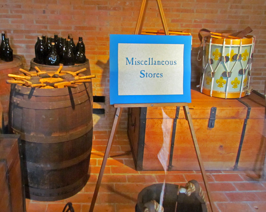
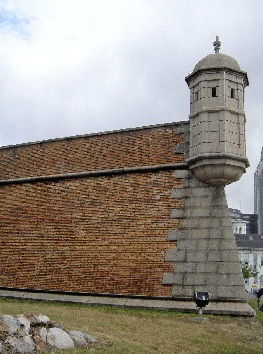
Fort Condé and its surrounding buildings covered about 11 acres (45,000 m2) of
land. It was constructed of local brick and stone, with earthen dirt walls, plus
cedar wood. A crew of 20 black slaves and 5 white workmen performed original
work on the fort. If the fort had been reconstructed full-size, it would cover
large sections of Royal Street, Government Boulevard, Church, St. Emanuel, and
Theatre Streets in downtown Mobile.
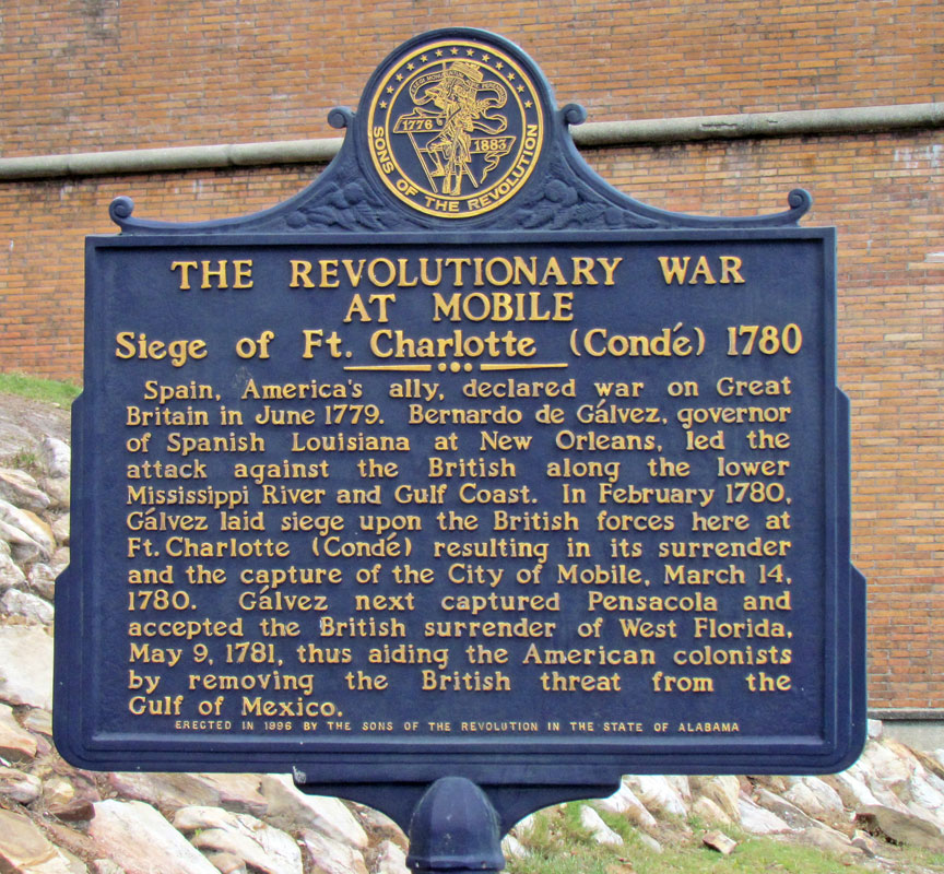
During 1763 to 1780, England was in possession of the region, and Fort Condé was
renamed Fort Charlotte in honor of King George III’s wife. From 1780 to 1813,
Spain ruled the region, and the fort was renamed Fort Carlota. In 1813, Mobile
was occupied by United States troops, and the fort was renamed again as Fort
Charlotte.
In 1820, the U.S. Congress authorized sale and removal of the fort because it
was no longer needed for defense. Later, city funds paid for the demolition to
allow new streets built eastward towards the river and southward. By late 1823,
most of the above-ground traces of Mobile’s fort were gone, leaving only
underground structures.
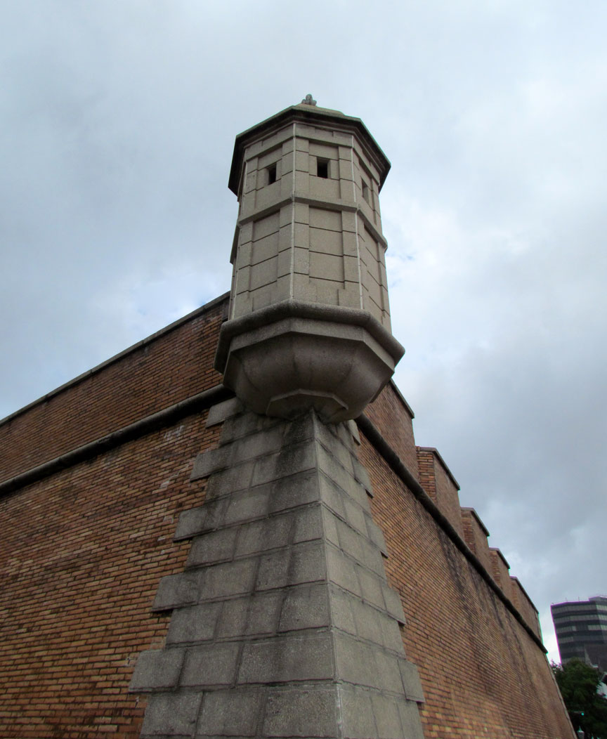
The original Fort Condé, from 1723, was shaped in the form of a four-pointed
star, with guard towers raised at the points (see map image) with significant
surrounding earth works. In design, it is similar to Castillo de San Marcos in
St. Augustine, Florida.
Map of "Mobille" from 1725, showing Fort Condé in form of a 7-pointed star along
the Mobile River.
Map of "Mobille" from 1725, showing Fort Condé in form of a 7-pointed star along the Mobile River.
The settlement of Mobile (French "Mobille") was aligned parallel to the Mobile River, rather than north/south, so that the fort faced somewhat northeast along an elevated bluff that was lined by "Royal Street" overlooking the marshland sloping down below. (Even in contemporary Mobile, Royal Street is at higher elevation, with the newer streets of Water Street and Commerce Street [not on 1725 map] further down the slopes towards the Mobile River).
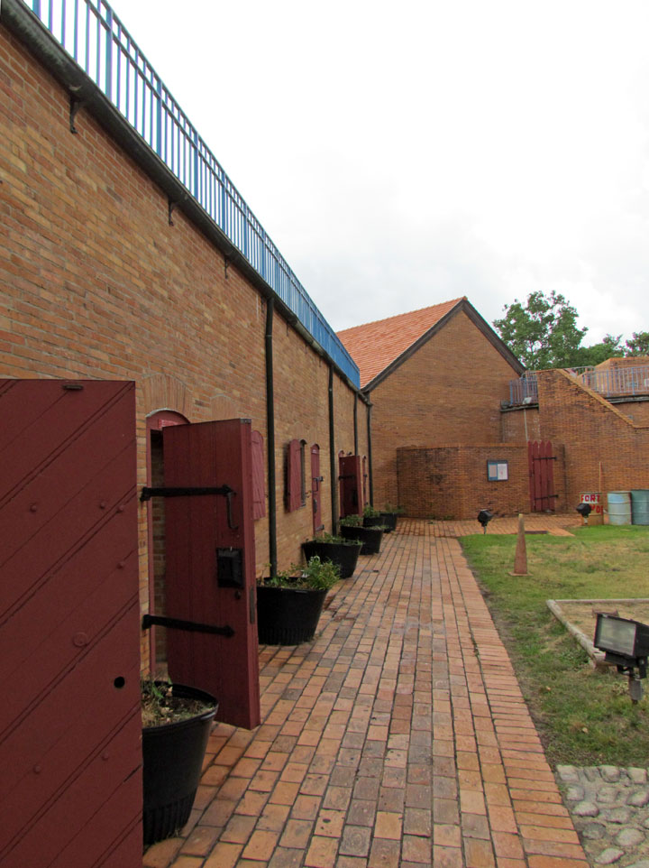
Some buildings within the fort compound had the French Mansard roof style, with
dormer windows extending from each roof.
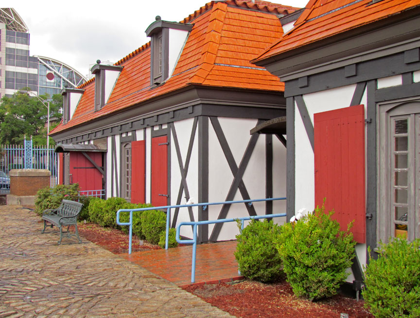
The tall chimneys at the ends of the buildings, shown in the map profile, were
not used on the reconstructed Fort Condé. Also, the lengths of buildings were
longer in the original fort, than represented in the 4/5 scale replica fort. The
Mobile River is illustrated on the 1725 map with label "Riviere de la Mobille"
also using spelling as Mobille.
The map was drawn by Adrien de Pauger in 1725. After Jean-Baptiste Le Moyne de
Bienville moved Mobile downriver in May 1711 (following the death of his brother
D'Iberville in 1706), he planned the next capital city (after 1718) to be on the
Mississippi River, in similar fashion to being on the Mobile River, and so
Adrien de Pauger also designed the Vieux Carré in New Orleans, Louisiana, which
was built from 1719-1722. The ships of the original French settlers, sailing to
Old Biloxi in 1699, and later transfers, were staged through Dauphin Island
(south of Mobile Bay, which was not dredged for larger ships until many years
later).
Text from Wikipedia