


Gibraltar Straits
The Strait of Gibraltar
The Strait of Gibraltar (Arabic: مضيق
جبل طارق, Spanish: Estrecho de Gibraltar) is the strait that connects the
Atlantic Ocean to the Mediterranean Sea and separates Spain from Morocco. The
name comes from Gibraltar, which in turn originates from the Arabic Jebel Tariq
(جبل طارق) meaning mountain of Tariq. It refers to the Ummayad Berber general
Tariq ibn-Ziyad who led the Islamic conquest of Hispania in 711. It is also
known as the Straits of Gibraltar or STROG (Strait Of Gibraltar), the latter
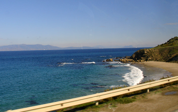
being in naval use. There are 13 km (8 miles) of ocean separating Europe from
Africa at the strait's narrowest point. The strait depth ranges between 300 and
900 meters. A ferry commutes between the two continents.
Gibraltar
On the northern side of the Strait is Spain and Gibraltar, while on the southern side is Morocco and Ceuta, a Spanish exclave in North Africa. Its boundaries were known in antiquity as the Pillars of Hercules. There are several small islands, such as the disputed Isla Perejil, that are claimed by both Spain and Morocco.
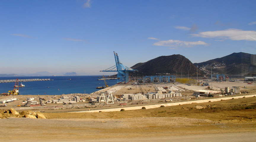
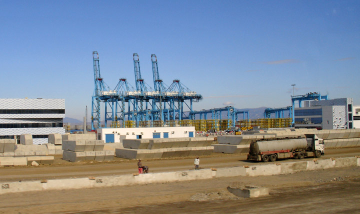
new port being built in Morocco
About 6 million years ago, the Strait closed, effectively turning the Mediterranean into a huge salty lake that eventually dried up, in what is known as the Messinian Salinity Crisis. The Mediterranean then turned into a lake, known as the Mediterranean Sea. At the Miocene/Pliocene boundary, approximately 5.33 million years ago, the Strait opened up for the last time, and has remained open since.
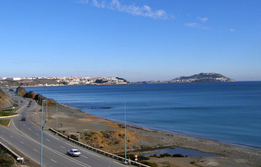
The Straits are an important shipping route from the Mediterranean to the
Atlantic. There are ferries that operate between Spain and Morocco across the
strait, as well as between Spain and Ceuta and Gibraltar to Tangier.
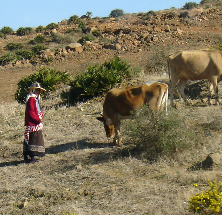
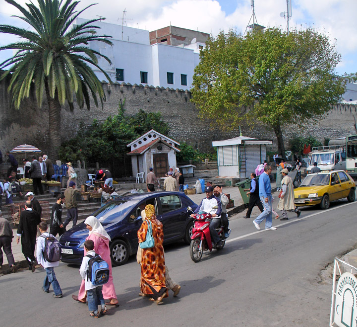
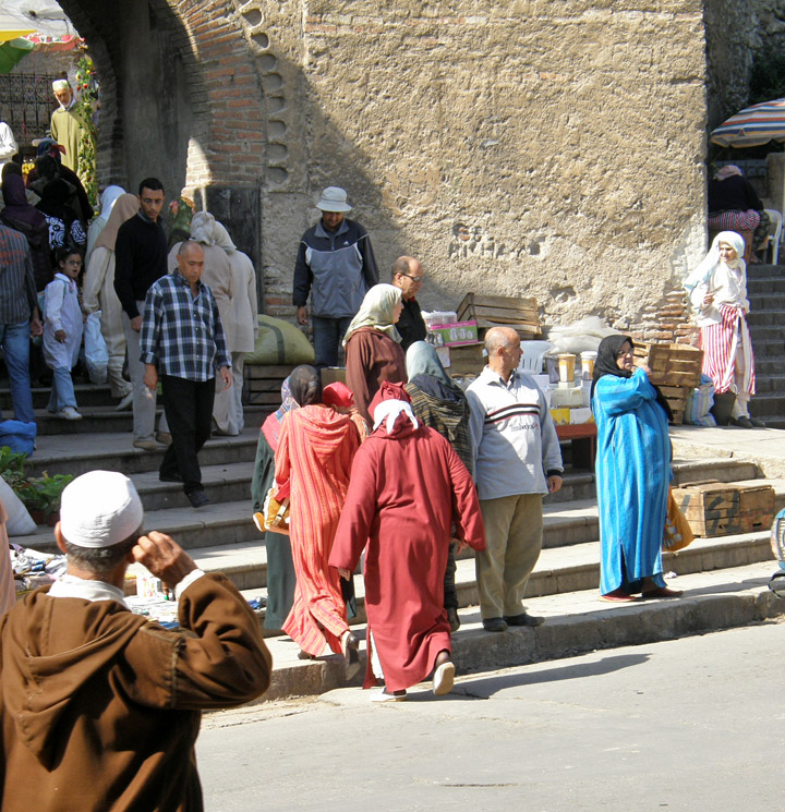
stock tender dressed in the style of Northern Morocco
In December 2003, Spain and Morocco agreed to explore the construction of an undersea rail tunnel to connect their rail systems. The gauge of the tunnel would be 1435mm to match the proposed construction and conversion of significant parts of the existing broad gauge system to standard gauge.
On a net basis, water continually flows eastward into and through the Strait of
Gibraltar, due to an evaporation rate within the Mediterranean basin higher than
the combined inflow of all the rivers that empty into it. The sill of the Strait
of Gibraltar acts to limit mixing between the cold, less saline Atlantic water
and the warm Mediterranean waters. The latter are so much saltier that they sink
below the constantly incoming Atlantic water and form a highly saline (thermohaline,
both warm and salty) bottom water, called the Mediterranean outflow. A density
boundary separates the layers at about 100 m depth. It flows out and down the
continental slope, losing salinity, until it equilibrates after mixing at a
depth of about 1000 meters. The Mediterranean outflow water can be traced for
thousands of kilometers before losing its identity.
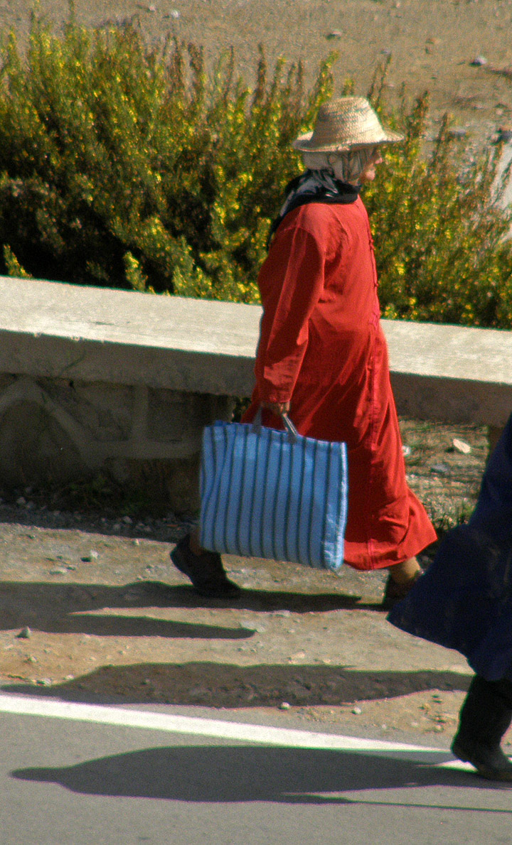
wearing the characteristic hat
Internal waves (waves at the density boundary layer) are common in the strait. Like traffic merging on a highway, the water flow is constricted in both directions because it must pass over a shallow submarine barrier, the Camarinal Sill. When large tidal flows enter the Strait, internal waves are set off at the Camarinal Sill as the high tide relaxes. The waves—sometimes with heights up to 100 m—travel eastward. Even though the waves occur at great depth and the height of the waves at the surface is almost nothing, they can be traced in the sunglint because they concentrate the biological films on the water surface, creating slight differences in roughness. The waves flow eastward, refract around coastal features; can be traced for as much as 150 km, and sometimes create interference patterns with refracted waves.
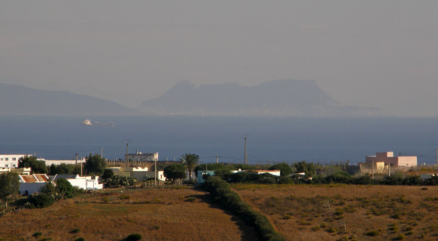
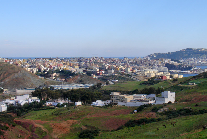
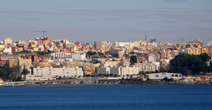
Ceuta
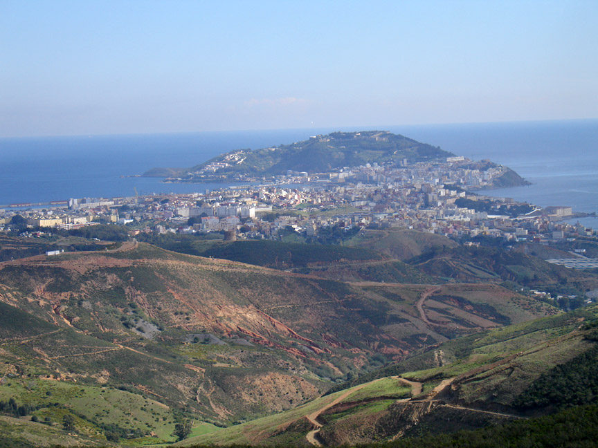
Ceuta, Spain as seen from a hill in Morocco
Ceuta is an autonomous city of Spain
located on the Mediterranean, on the North African side of the Strait of
Gibraltar, which separates it from the Spanish mainland. Ceuta, together with
the other African autonomous city of Melilla and a number of Mediterranean
islands, is claimed by Morocco. The area of Ceuta is approximately 28 km².
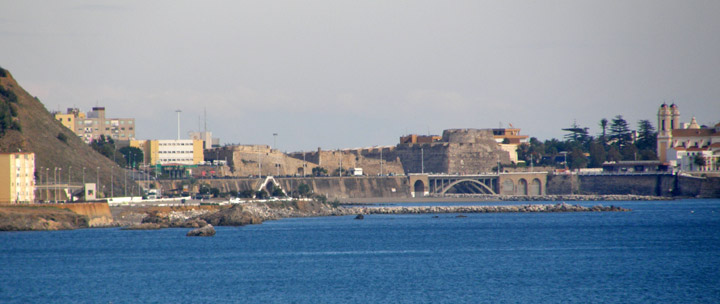
Ceuta is dominated by a hill called Monte Hacho, on which there is a fort
occupied by the Spanish army. Monte Hacho is one of the possible locations for
the southern Pillars of Hercules of Greek Legend, the other possibility being
Jebel Musa.
Ceuta's strategic location has made it the crucial waypoint of many cultures'
trade and military ventures — beginning with the Carthaginians in the 5th
century BC, who called the city Abyla. It was not until the Romans took control
in about A.D. 42 that the port city (then named Septem) assumed an almost
exclusive military purpose. Approximately 400 years later, the Vandals ousted
the Romans for control, and later it fell to the Visigoths of Hispania and the
Byzantines.
Ceuta on the peninsular
In 710, as Muslim armies approached
the city, its Byzantine governor Julian (also described as "king of the Ghomara")
changed sides and urged them to invade the Iberian Peninsula. Under the
leadership of Berber general Tariq ibn Ziyad, Ceuta was used as a prime staging
ground for an assault on Visigothic Hispania soon after.
After Julian's death the Arabs took direct control of the city; this was
resented by the surrounding indigenous Berber tribes, who destroyed it in a
Kharijite rebellion led by Maysara al-Haqir in 740. It lay in waste until
refounded in the 9th century by Majakas, chief of the Majkasa Berber tribe, who
started the short-lived dynasty of the Banu Isam. Under his great-grandson they
paid allegiance to the Idrisids (briefly); the dynasty finally ended when he
abdicated in favour of the Umayyad Caliph of Cordoba Abd ar-Rahman III an-Nasir
in 931. Chaos ensued with the fall of the Umayyad caliphate in 1031, but
eventually Ceuta, together with the rest of Muslim Spain were taken over by the
Moroccan dynasty of Almoravids in 1084. The Almoravids were succeded by the
Almohads who conquered Ceuta in 1147 ruling it, apart from Ibn Hud's rebellion
of 1232, until the Hafsids of Tunisia took it in 1242. The Hafsids' influence in
the west rapidly waned, and the city expelled them in 1249; after this, it went
through a period of political instability during which the city was disputed
between the Moroccan Kingdom of Fez and the Kingdom of Granada.
Ceuta
In 1387, Ceuta was conquered for the
last time by the Moroccan Kingdom of Fez, with Aragonese help.
In 1415, Ceuta was occupied by the Portuguese during the reign of John I of
Portugal.
After Portugal lost its independence to Spain in 1580, the majority of the
population of Ceuta became of Spanish origin. The change of origin is so obvious
that when Portugal regained its independence in 1640 and war broke out between
the two countries, Ceuta became the only colony of the Portuguese Empire that
sided with Spain.
the city
The allegiance of Ceuta to Spain was
recognized by the Treaty of Lisbon by which, on January 1, 1668, King Afonso VI
of Portugal formally ceded Ceuta to Carlos II of Spain. However, the flag and
coat of arms of Ceuta remained unchanged and to this day still feature the
colonial configuration of the Portuguese shield. The flag's background is also
the same as that of the flag of Lisbon, the Portuguese capital.
When Spain recognized the independence of Spanish Morocco in 1956, Ceuta and the
other plazas de soberanía remained under Spanish rule as they were considered
integral parts of the Spanish state.
old fort
Culturally, modern Ceuta is
considered part of the Spanish region of Andalusia. Indeed, it was until
recently attached to the province of Cádiz - the Spanish coast being only 20 km
away. It is a very cosmopolitan city, with a large ethnic Berber Muslim minority
as well as a Sephardic Jewish minority.
On November 5, 2007, King Juan Carlos I visited the city, sparking great
enthusiasm from the local population and protests from the Moroccan government.
It was the first time a Spanish head of state had visited Ceuta in 80 years
Text from Wikipedia
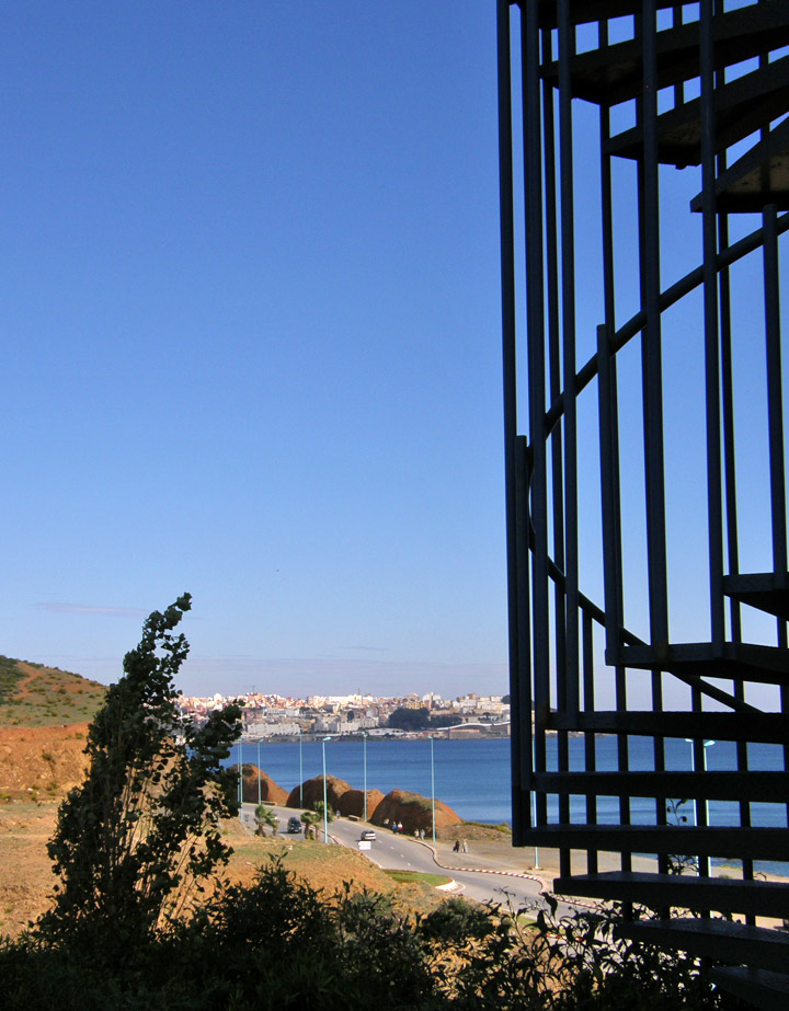
Ceuta, Spain as seen from Morocco
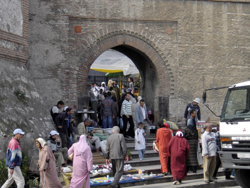
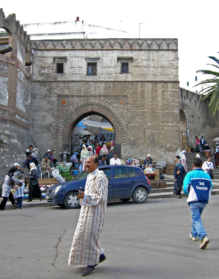
entrance to the Medina
Tétouan was of particular importance in the Islamic period, from the 8th century onwards, since it served as the main point of contact between Morocco and Andalusia. After the Reconquest, the town was rebuilt by Andalusian refugees who had been expelled by the Spanish. This is well illustrated by its art and architecture, which reveal clear Andalusian influence. Although one of the smallest of the Moroccan medinas, Tétouan is unquestionably the most complete and it has been largely untouched by subsequent outside influences.
a World Heritage site