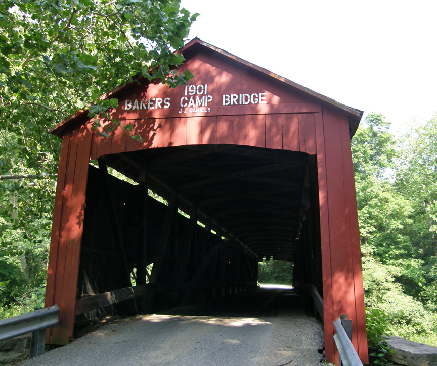
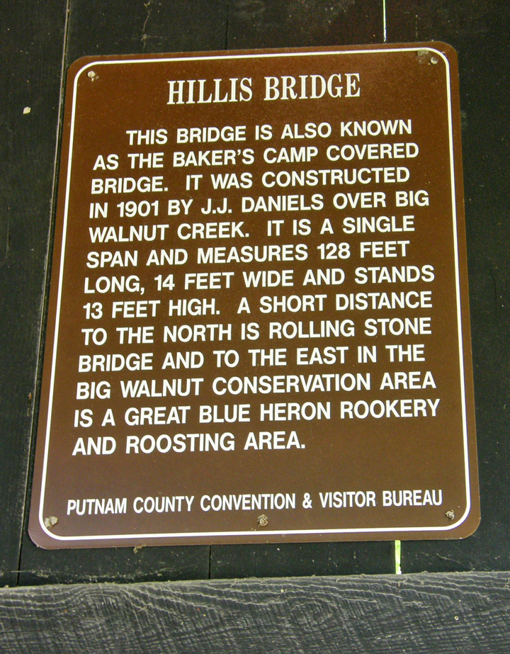
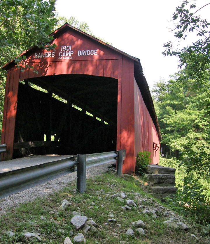
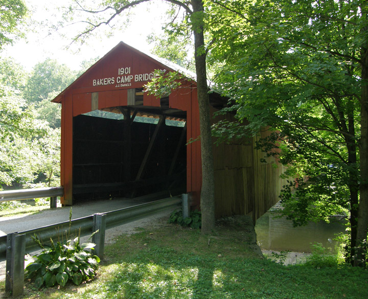
14-67-02

14-67-01 14-67-02 14-67-03 14-67-04 14-67-06 14-67-07 14-67-10 14-67-11 14-67-13

14-67-02

Baker's Camp

Putnam County


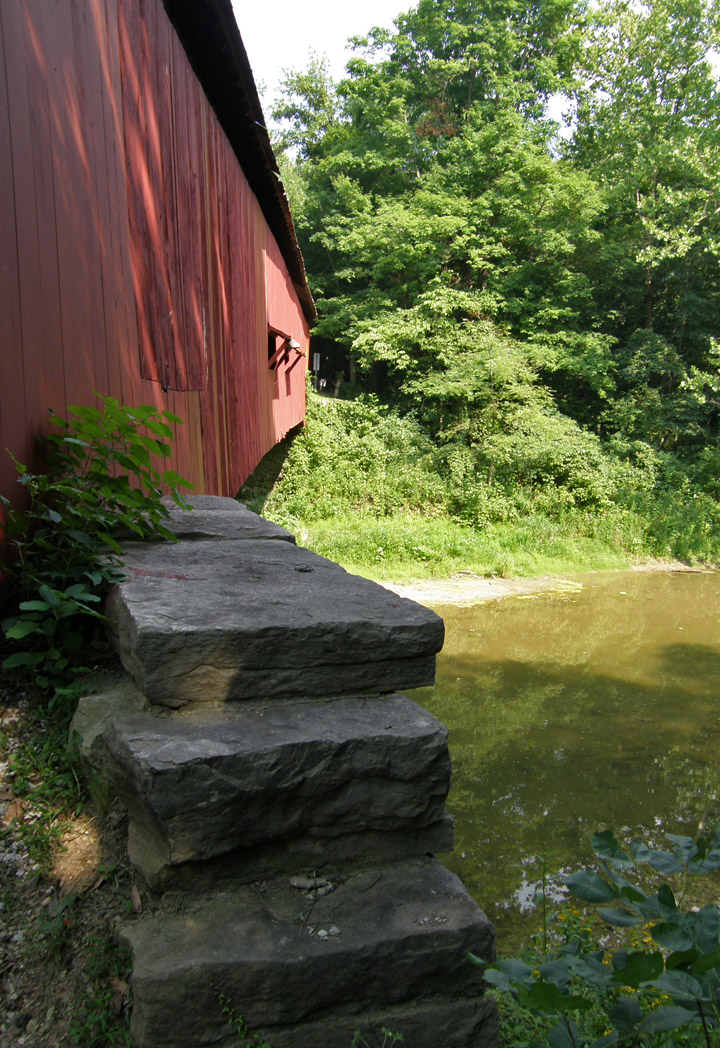
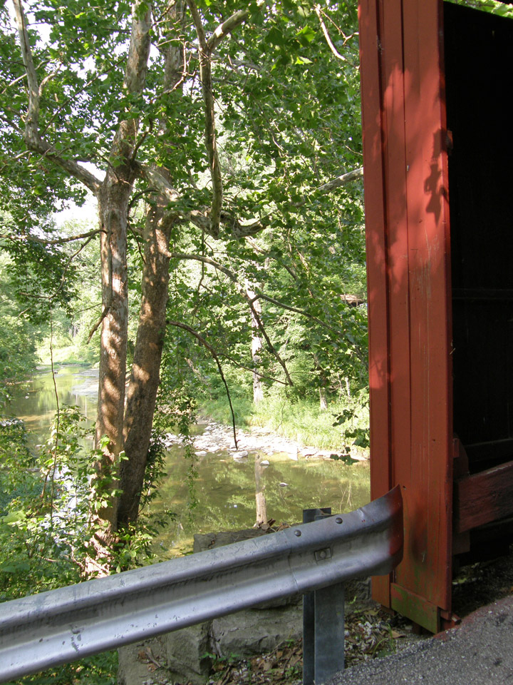
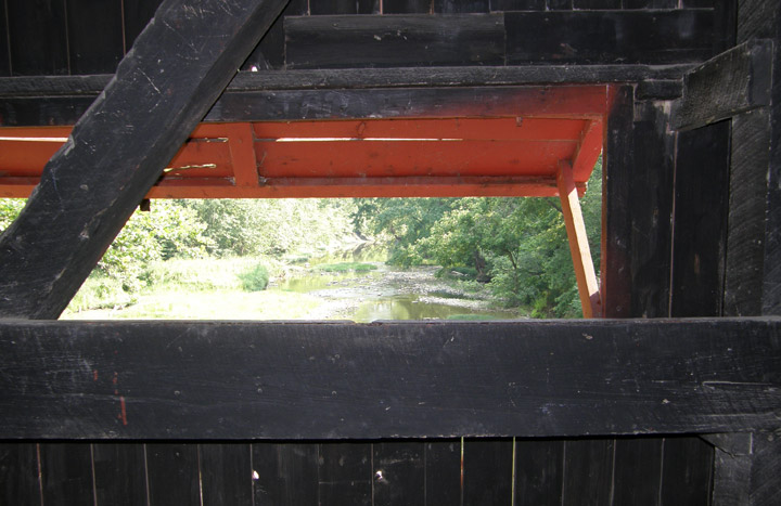
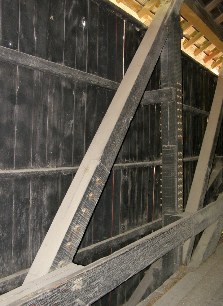
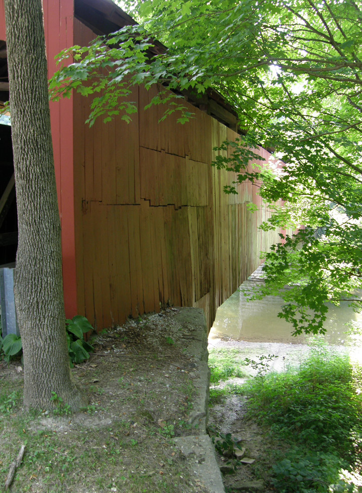
Bakers Camp Covered Bridge

GPS

N39 44.95

W86 46.51


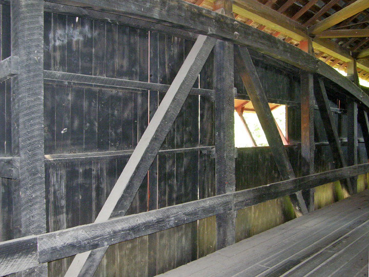
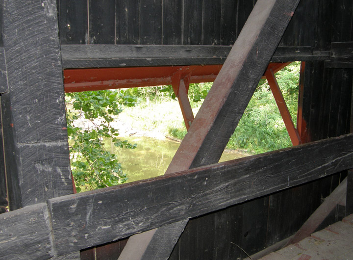
built in 1901 by J. J. Daniels


128 foot span


Burr Arch


 Map of
Latitude: 39.7492
Longitude: -86.7752


14-67-01 14-67-02 14-67-03 14-67-04 14-67-06 14-67-07 14-67-10 14-67-11 14-67-13

Adams 14-01-02 Bartholomew County Brown County Carroll County Dearborn County Decatur County Dekalb 14-17-01 Fayette County Fountain County Franklin County Gibson County Grant County Greene County Hamilton County Howard County Jackson County Jennings County Lake County Lawrence County Marion County Montgomery County Owen County Parke County Putnam County Ripley County Rush County Spencer - Perry County Vermillion County Vigo County Wabash County

World Heritage Mosaics Roman World Africa Antarctica Asia Atlantic Islands Australia Caribbean Central America Europe Indian Ocean Middle East North America Pacific Islands South America The Traveler Recent Adventures Adventure Travel


People and Places