


14-67-11
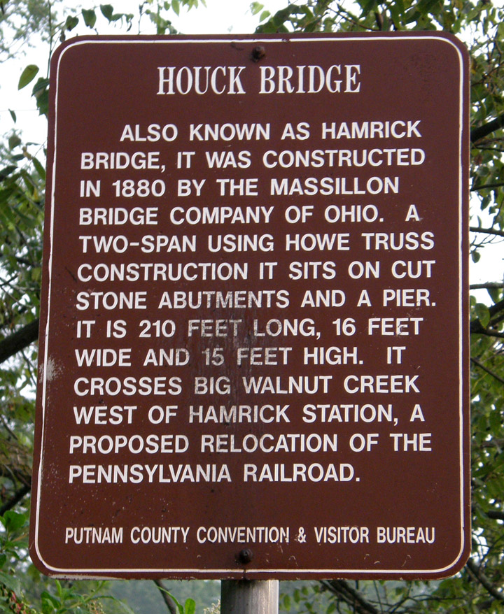
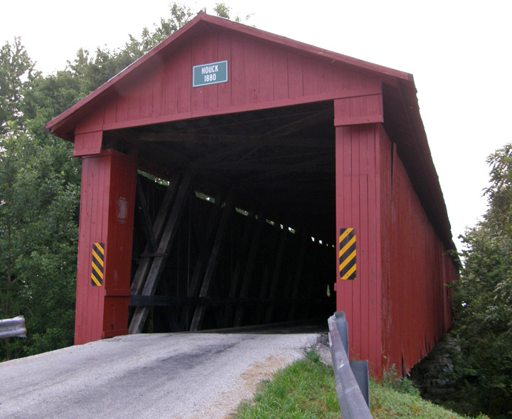
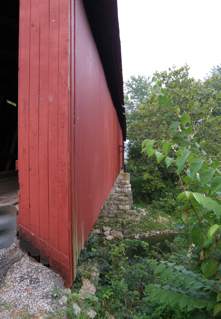
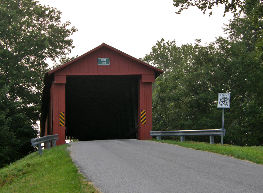
Houck Covered Bridge
Putnam County
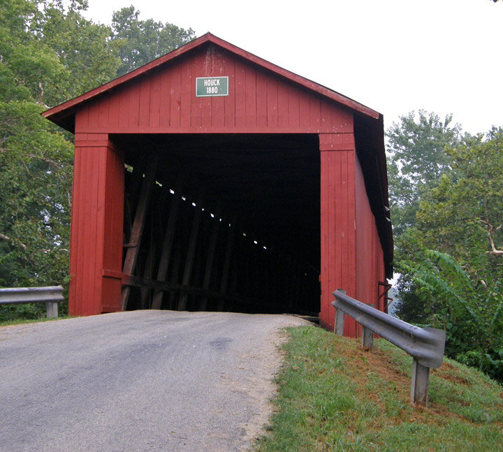
Houck Covered Bridge
GPS
N39 34.94
W86 56.32
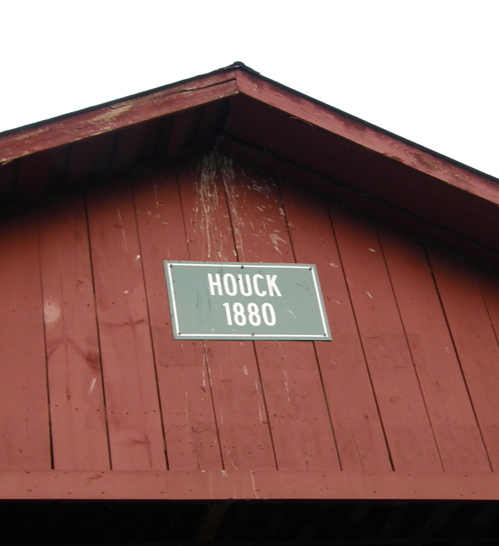
built in 1880
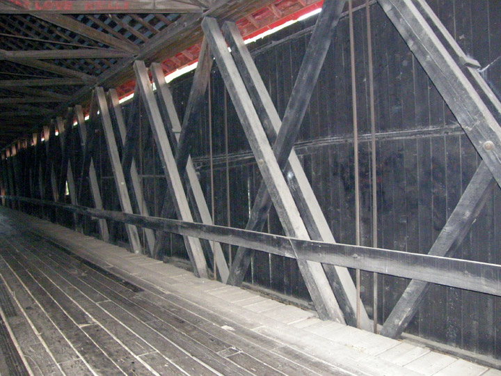
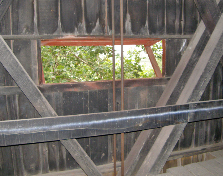
Howe Truss
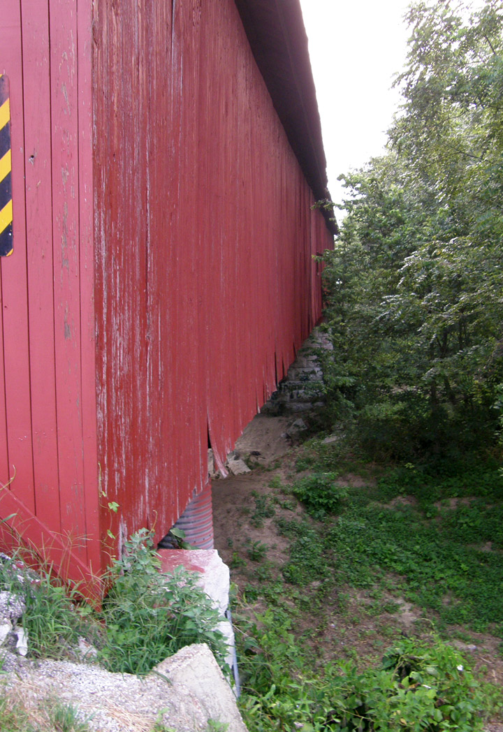
210 foot span, with two 3 foot extensions
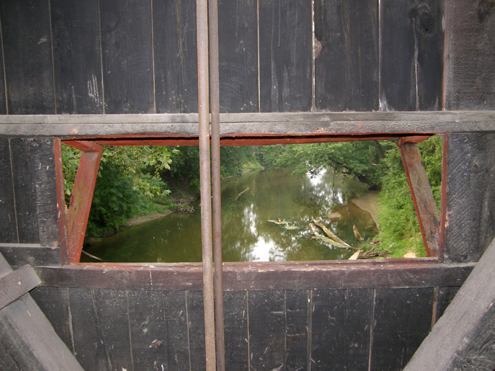
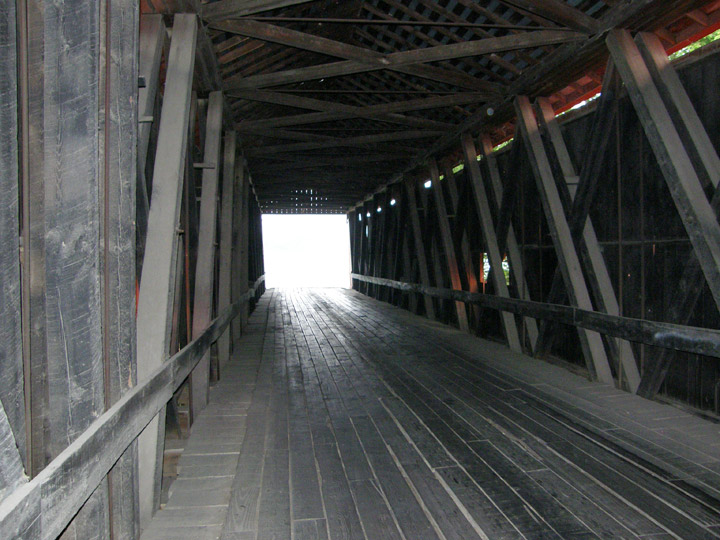
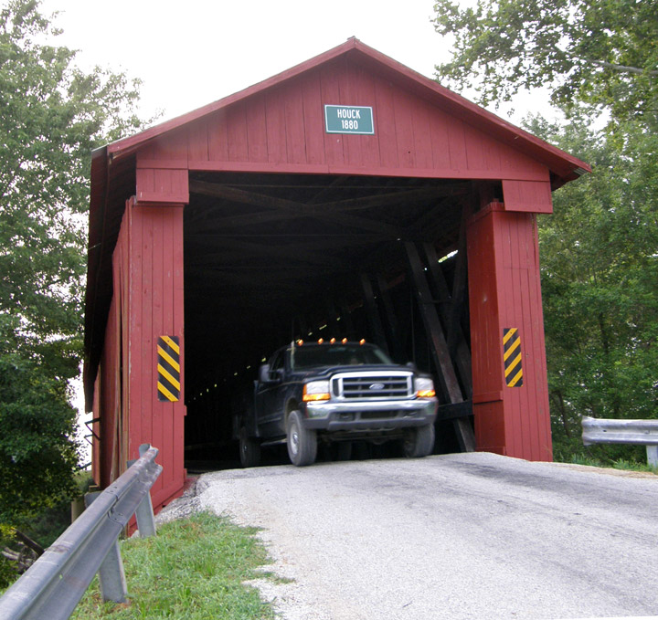
usable by local farmers
Map of
Latitude: 39.5824
Longitude: -86.9386