


14-67-13
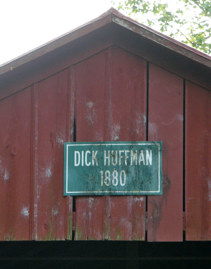
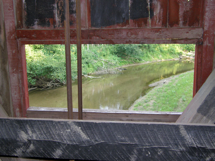
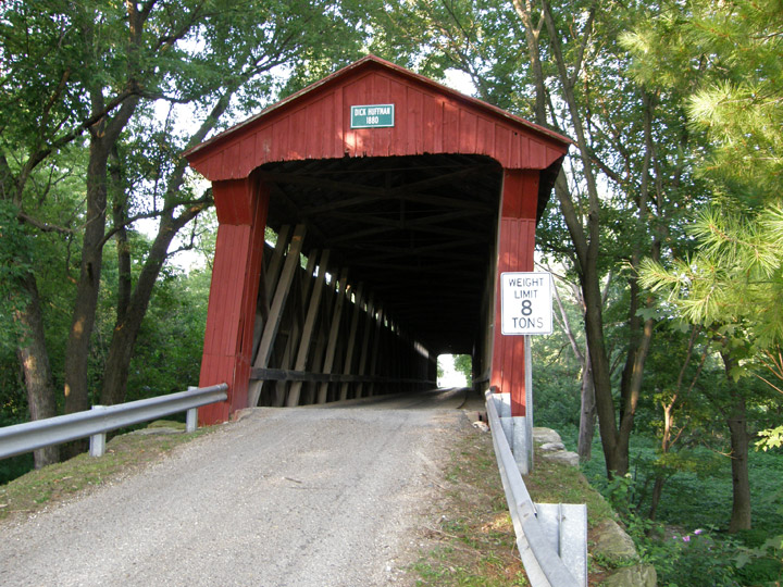
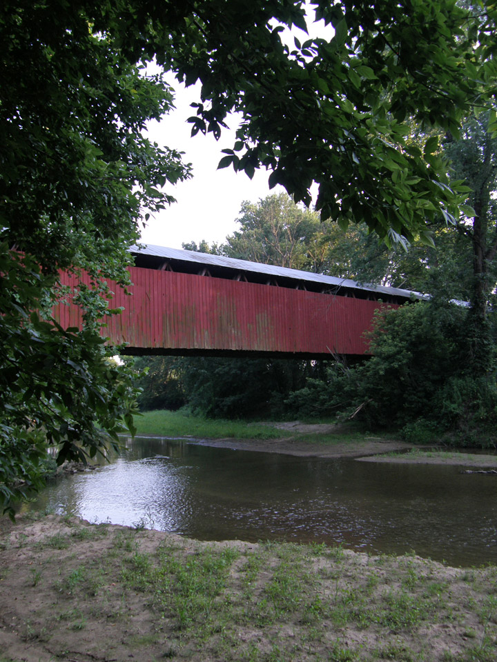
Dick Huffman Covered Bridge
Putnam County
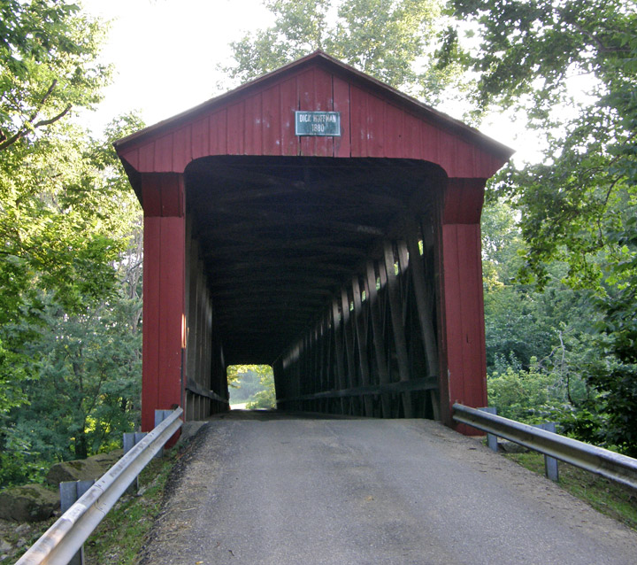
Dick Hoffman Covered Bridge
GPS
N39 30.50
W86 57.46
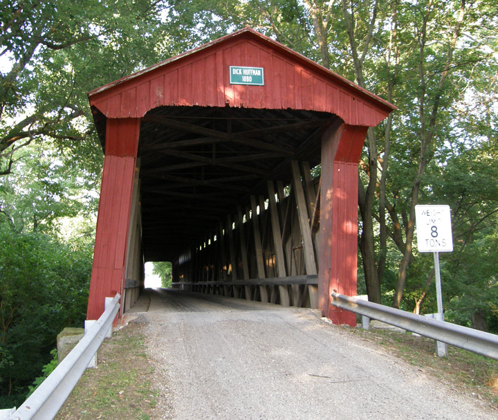
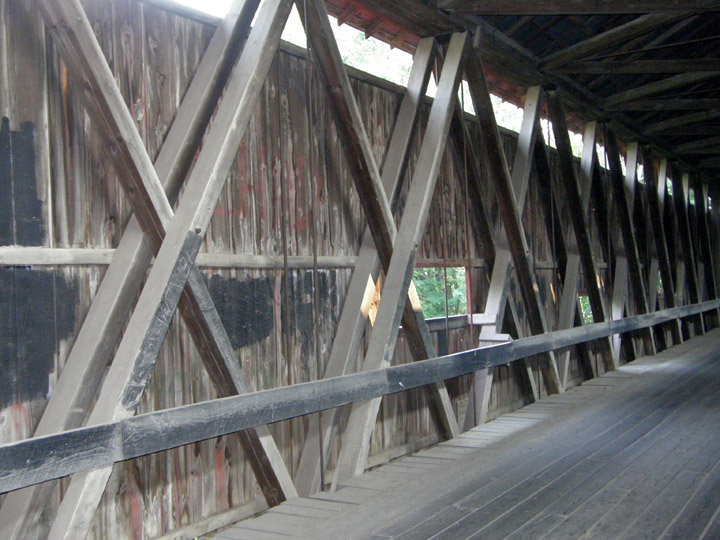
Howe Truss
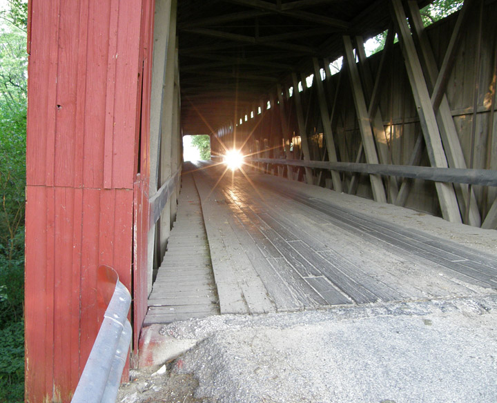
light at the end of the tunnel ?
(maybe just a biker coming through the bridge)
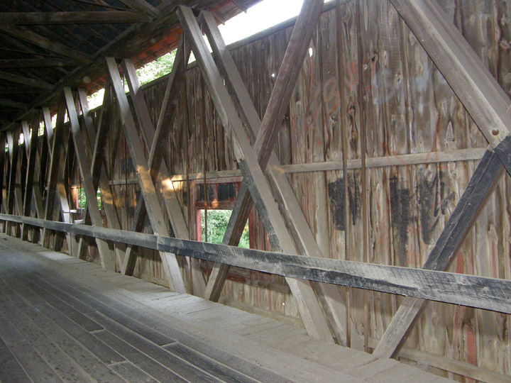
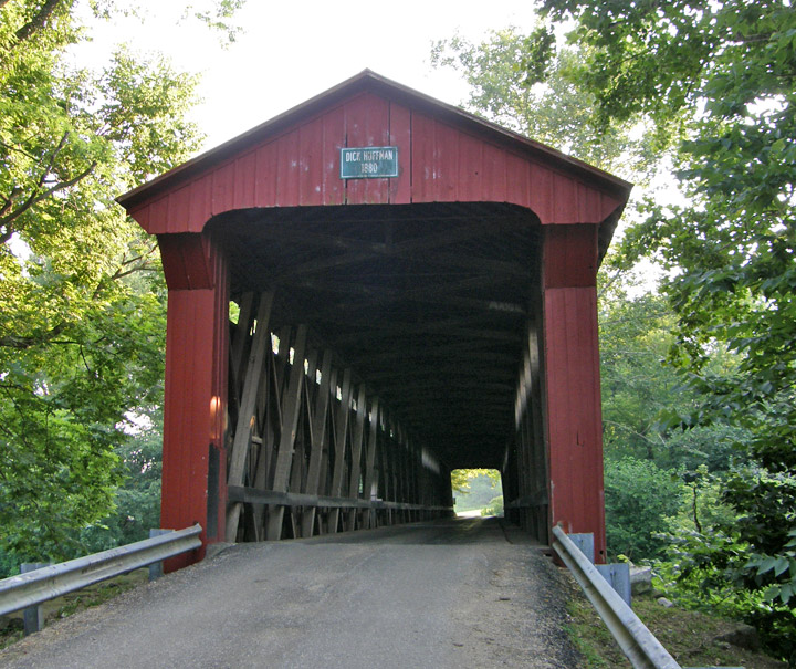
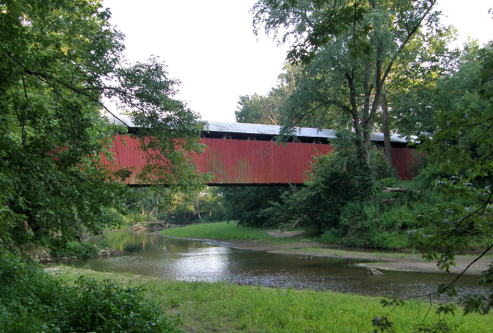
152 foot span

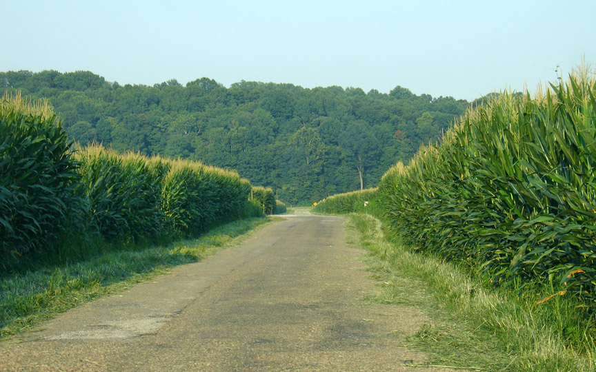
on a road where the corn grows close to the sides
Map of
Latitude: 39.5083
Longitude: -86.9577