


Countryside
Photos from my visit in 1988
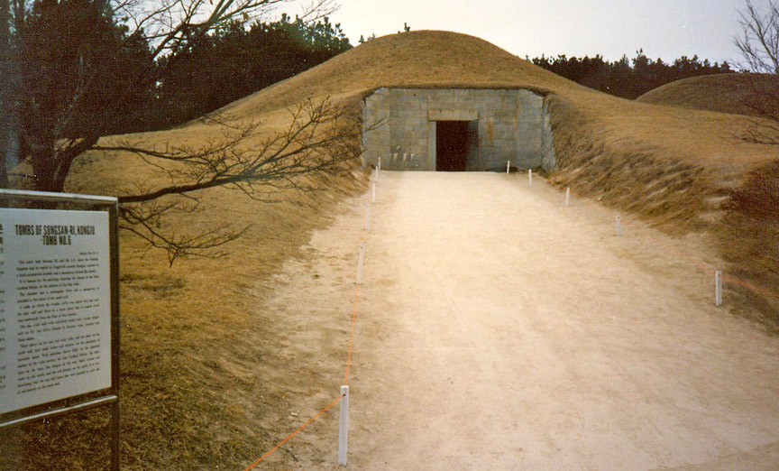
Tomb of King Muryong
Korea is located on the Korean Peninsula in North-East Asia. To the northwest, the Amnok River (Yalu River) separates Korea from China and to the northeast, the Duman River (Tumen River) separates Korea from China and Russia. The Yellow Sea is to the west, the East China Sea is to the south, and the Sea of Japan (East Sea) is to the east of Korea.[25] Notable islands include Jeju-do, Ulleung-do, and Liancourt Rocks (Dokdo in Korean).
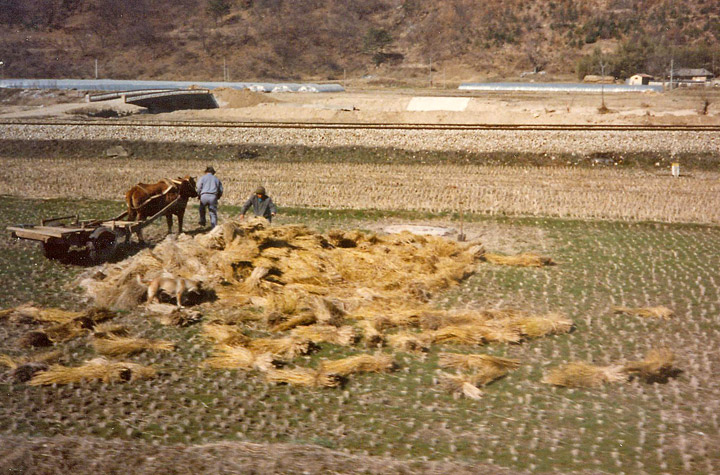
rice harvest
The southern and western parts of the peninsula have well-developed plains, while the eastern and northern parts are mountainous. The highest mountain in Korea is Mt. Baekdusan (2744 m), through which runs the border with China. The southern extension of Mt. Baekdusan is a highland called Gaema Gowon. This highland was mainly raised during the Cenozoic orogeny and partly covered by volcanic matter. To the south of Gaema Gowon, successive high mountains are located along the eastern coast of the peninsula. This mountain range is named Baekdudaegan. Some significant mountains include Sobaeksan (2,184 m), Baeksan (1,724 m), Geumgangsan (1,638 m), Seoraksan (1,708 m), Taebaeksan (1,567 m), and Jirisan (1,915 m). There are several lower, secondary mountain series whose direction is almost perpendicular to that of Baekdudaegan. They are developed along the tectonic line of Mesozoic orogeny and their directions are basically northwest.
Unlike most older mountains on the mainland, many important islands in Korea
were formed by volcanic activity in the Cenozoic orogeny. Jeju-do, situated off
the southern coast, is a large volcanic island whose main mountain Mt. Halla
(1950 m) is the highest in South Korea. Ulleung-do is a volcanic island in the
Sea of Japan, whose composition is more felsic than Jeju-do. The volcanic
islands tend to be younger, the more westward.
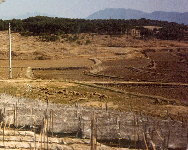
terraced fields
Because the mountainous region is mostly on the eastern part of the peninsula, the main rivers tend to flow westwards. Two exceptions are the southward-flowing Nakdong River and Seomjin River. Important rivers running westward include the Amnok River (Yalu), the Cheongcheon River, the Daedong River, the Han River, the Geum River, and the Yeongsan River. These rivers have vast flood plains and provide an ideal environment for wet-rice cultivation.
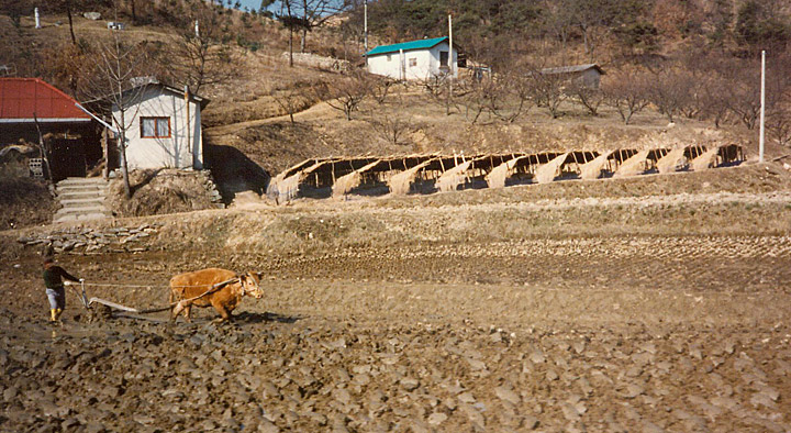
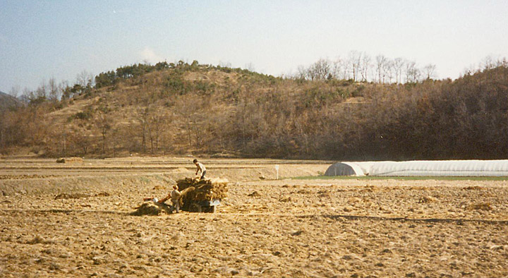
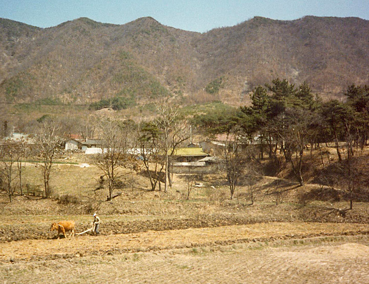
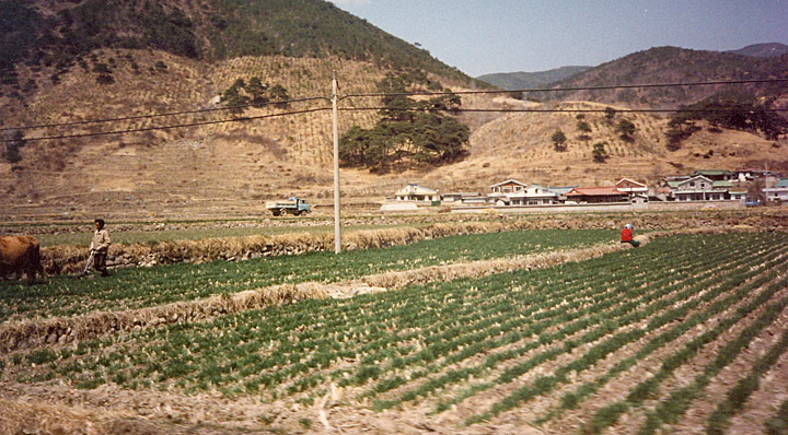
plowing with the cow
The southern and southwestern coastlines of Korea form a well-developed ria coastline, known as Dadohae-jin in Korean. Its convoluted coastline provides mild seas, and the resulting calm environment allows for safe navigation, fishing, and seaweed farming. In addition to the complex coastline, the western coast of the Korean Peninsula has an extremely high tidal amplitude (at Incheon, around the middle of the western coast. It can get as high as 9 m). Vast tidal flats have been developing on the south and west coastlines.
Text from Wikipedia
farm buildings
ricece
woman pulling the plow
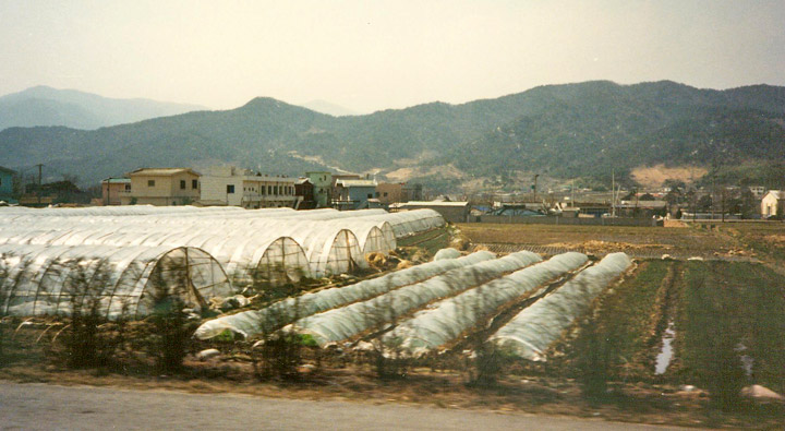
plastic covered green houses
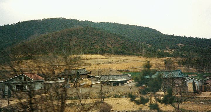
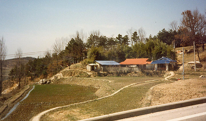
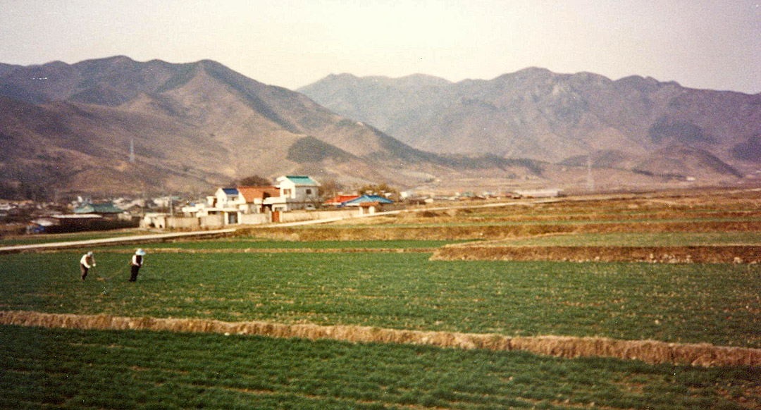
farm houses
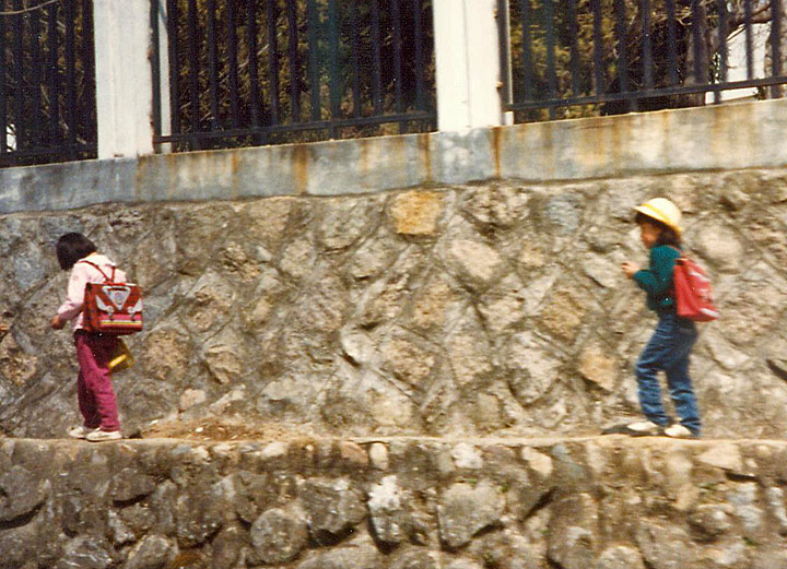
on the way to school
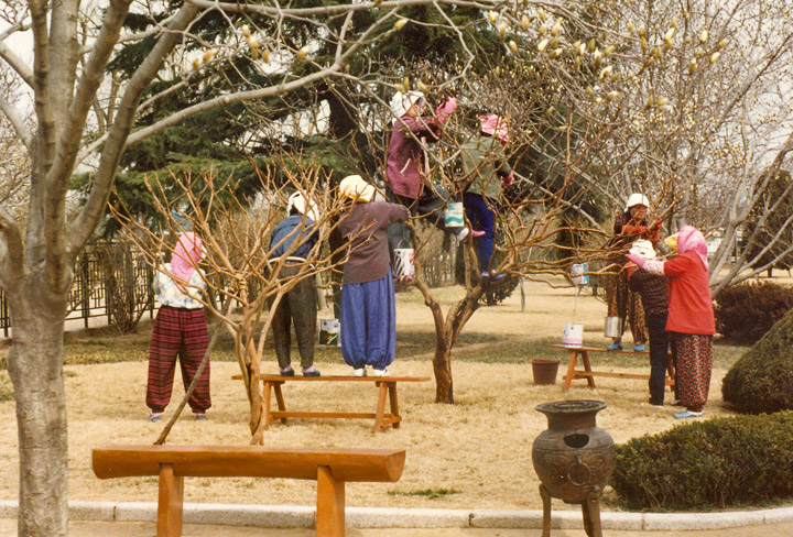
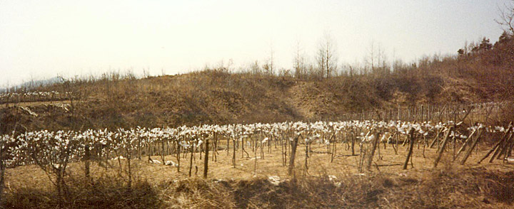
woman washing the trees
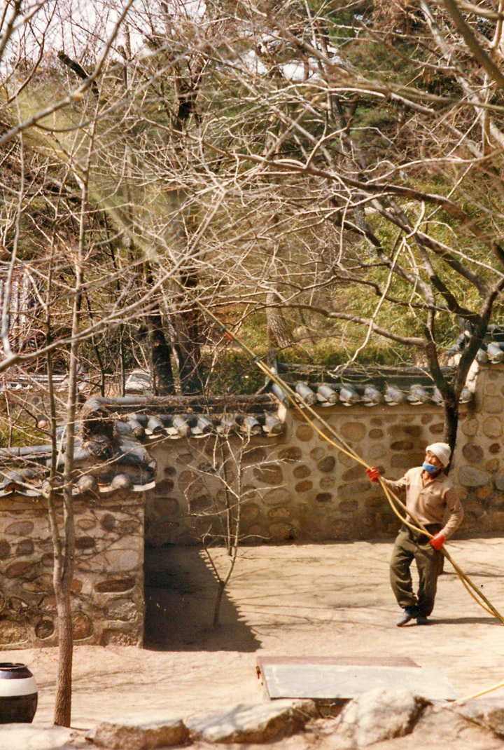
and spraying the trees with a sulfur based treatment
household or trade?