

Cascade Locks
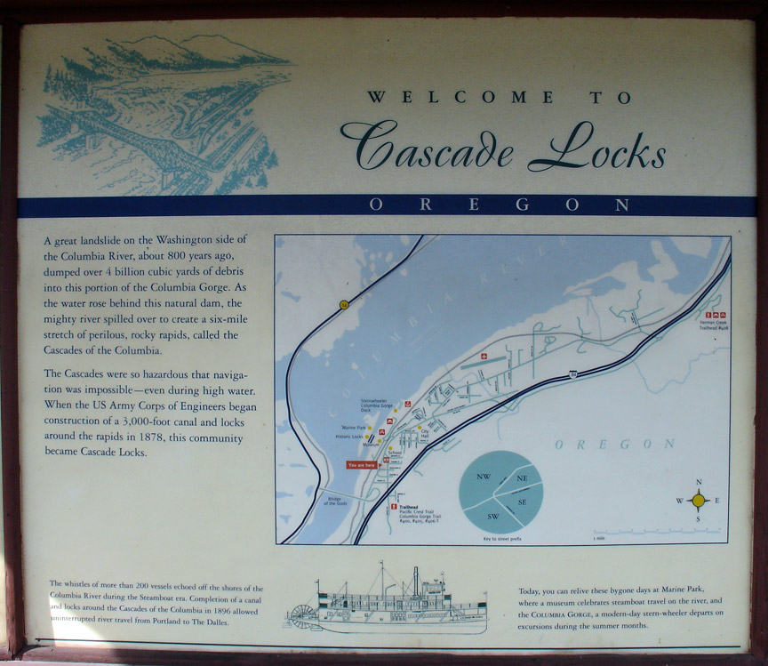
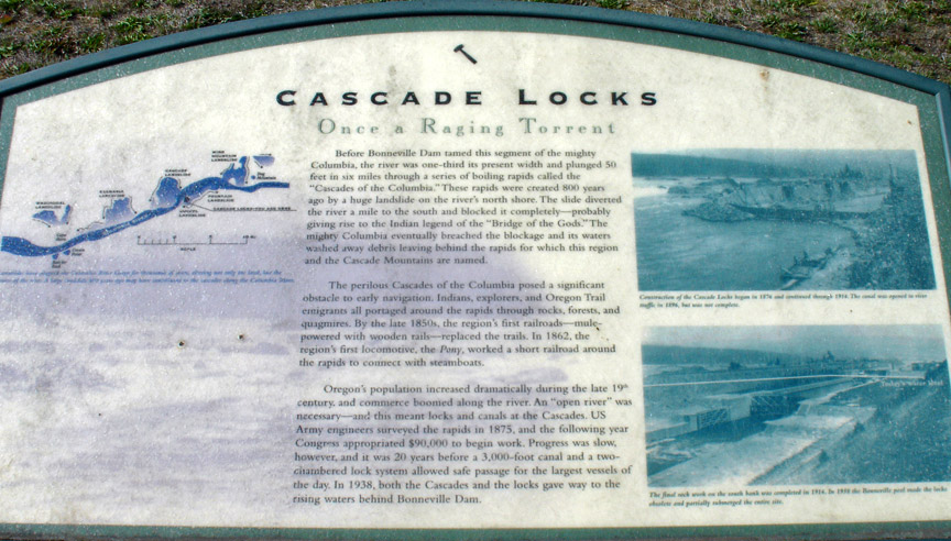
The Cascades Rapids (sometimes called Cascade Falls or Cascades of the Columbia) were an area of rapids along North America's Columbia River, between the U.S. states of Washington and Oregon. Through a stretch approximately 150 yards (140 m) wide, the river dropped about 40 feet (12 m) in 2 miles (3.2 km).
Cascade Lock
Boat travelers were forced to either portage boats and supplies or pull boats up with ropes here. It is generally held that these rapids or cascades (or the many cascades along the Columbia River Gorge in this area of Oregon and Washington) gave rise to the name for the surrounding mountains: the Cascade Range.
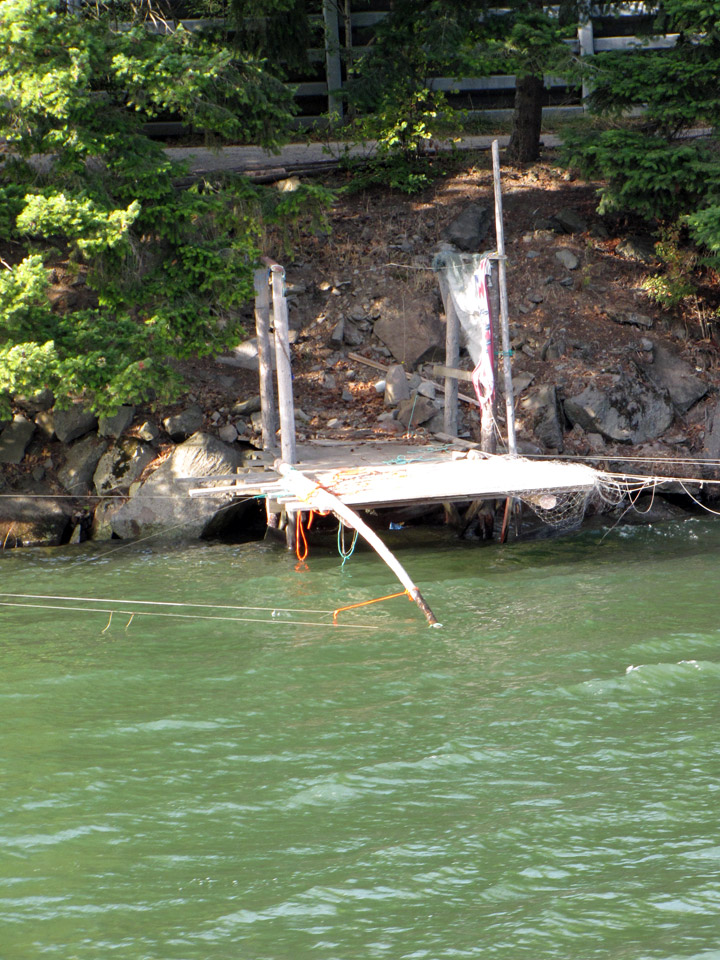
Native American fishing platform on the Columbia River
The rapids were an important fishing site for Native Americans, who would catch salmon as they swam upriver to spawn.
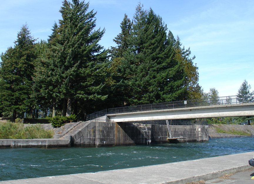
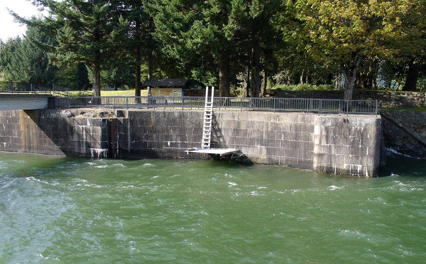
remains of the lock channel
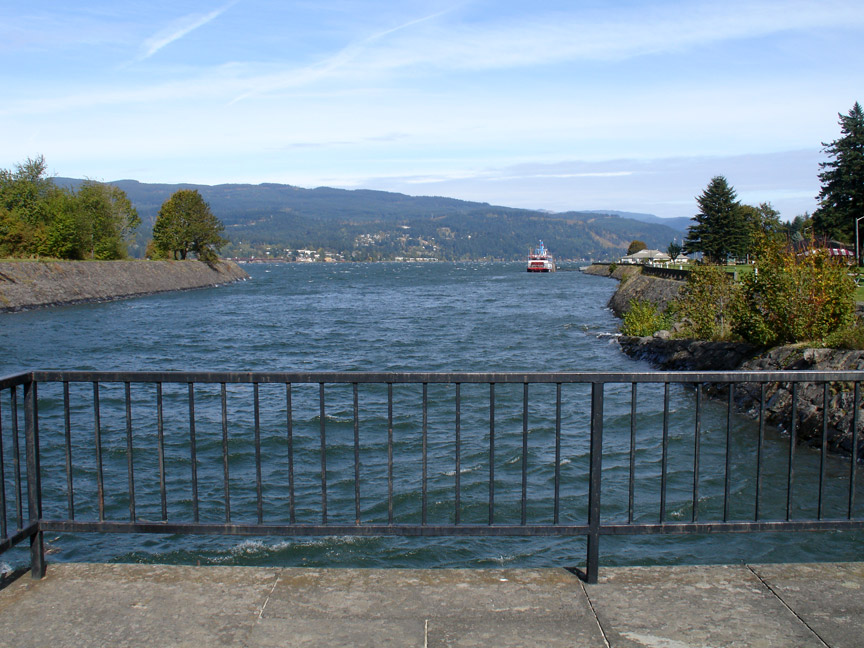
upstream from the lock
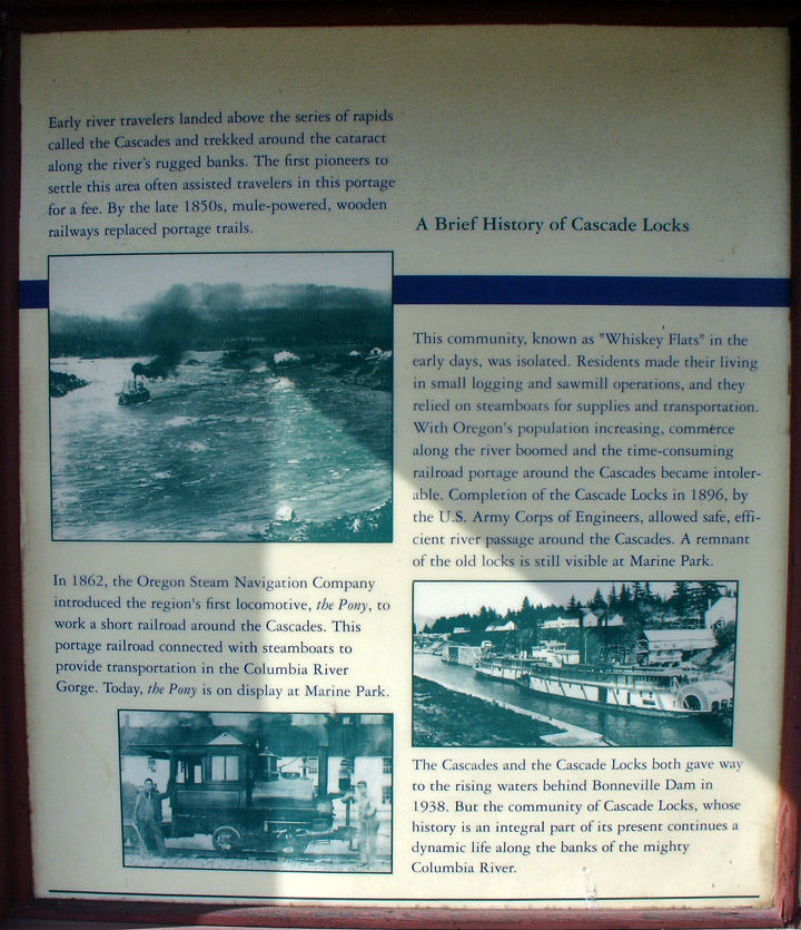
They also posed a major obstacle to the development of the Oregon Trail; initially, pioneers would gather at The Dalles to await small boats to carry them to the Willamette Valley; in 1845, Sam Barlow and his associates built a road around the south side of Mount Hood, which allowed travelers along the Trail to bypass the rapids on the last leg of their journeys.
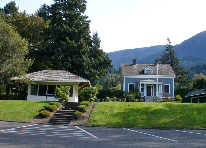
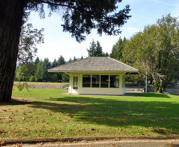
Cascade Locks Museum
the locomotive that for years
transported goods around the rapids
“ We concluded to take our canoes first to the head of the rapids, hoping that by evening the rain would cease and afford us a fair afternoon to take our baggage over the portage. this portage is two thousand eight hundred yards along a narrow rough and slipery road. ... a few men were absolutely necessary at any rate to guard our baggage from the War-clel-lars who crowded about our camp in considerable numbers. these are the greates[t] thieves and scoundrels we have met with. ... the canoes were much damaged by being driven against the rocks in despite of every precaution which could be taken to prevent it. ... many of the natives crowded about the bank of the river where the men were engaged in taking up canoes; one of them had the insolence to cast stones down the bank at two of the men who happened to be a little detached from the party at the time. on the return of the party in the evening from the head of the rapids they met with many of the natives on the road, who seemed but illy disposed… ”
Conflicts continued thereafter between the Chinookan natives and Europeans and
Americans, who generally refused to recognize the natives' authority over
passage through the area. By 1813–14, fur traders passing through were resorting
to violent force against the Indians. Although more diplomatic approaches
eventually prevailed, a malaria outbreak in the 1830's so reduced the
populations of the Cascade and other Indian tribes, that they ceased to be a
powerful force along the river.
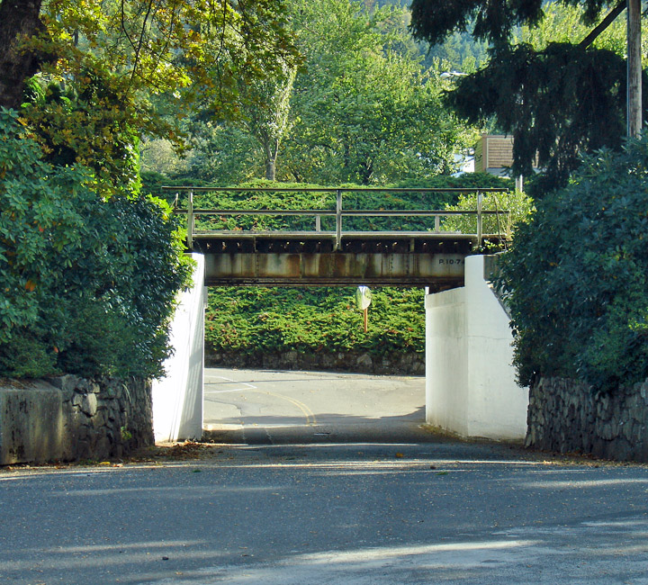
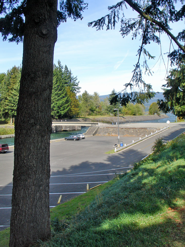
underpass to the marina
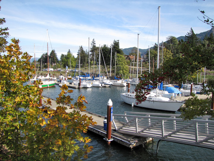
small boat marina
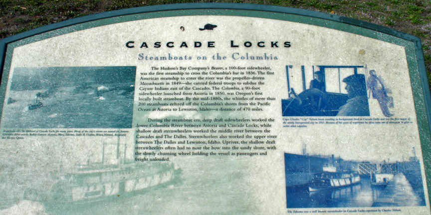
The Cascades were a significant barrier to river navigation. Steamboats could not go upriver through the rapids, and could be brought downriver only at great risk, although this was done a number of times by highly-skilled captains. A canal and lock around the rapids was completed in 1896. But by 1938 the rapids were gone, submerged under the Bonneville Reservoir as it formed behind Bonneville Dam. Bonneville Lock at the dam, completed in 1937, replaced the old Cascade Locks around the rapids.
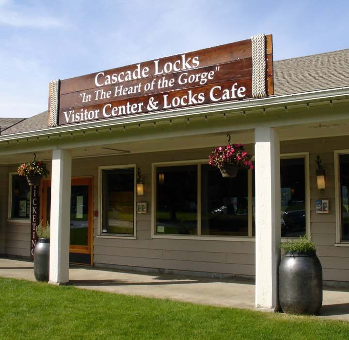
ship marina and Visitor Center
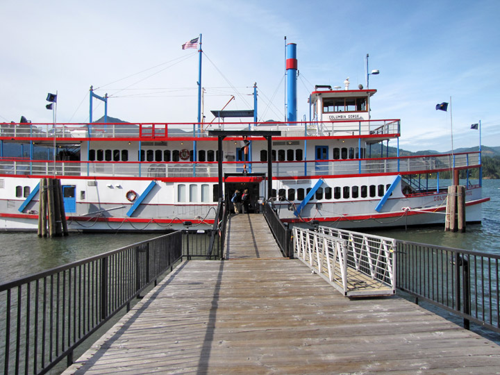
sternwheeler
More Photos of the Sternwheeler
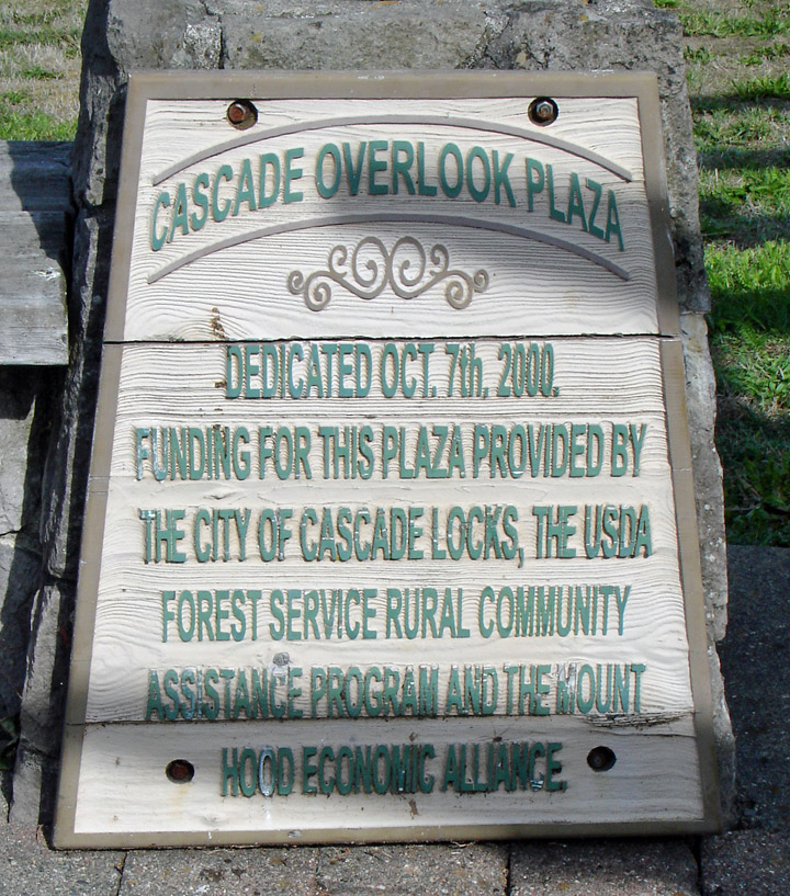
Cascade Locks is a city in Hood River County, Oregon, United States. The city took its name from a set of locks built to improve navigation past the Cascades Rapids of the Columbia River. The federal government approved the plan for the locks in 1875, construction began in 1878, and the locks were completed on November 5, 1896. The locks were subsequently submerged in 1938, replaced by Bonneville Lock and Dam, although the city lost no land from the expansion of Lake Bonneville behind the dam located some four miles (6 km) downstream of the city.
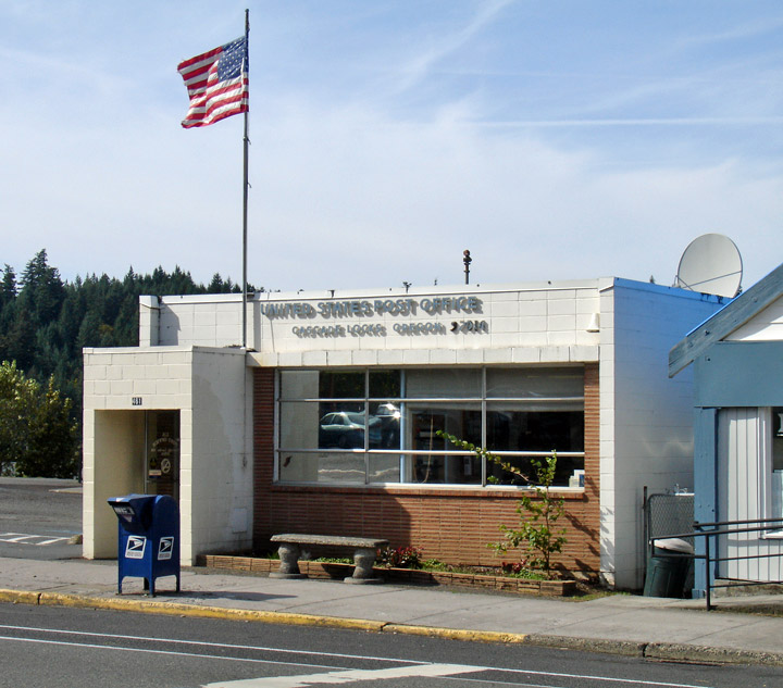
Post office in Cascade Locks, Oregon beside the Columbia River
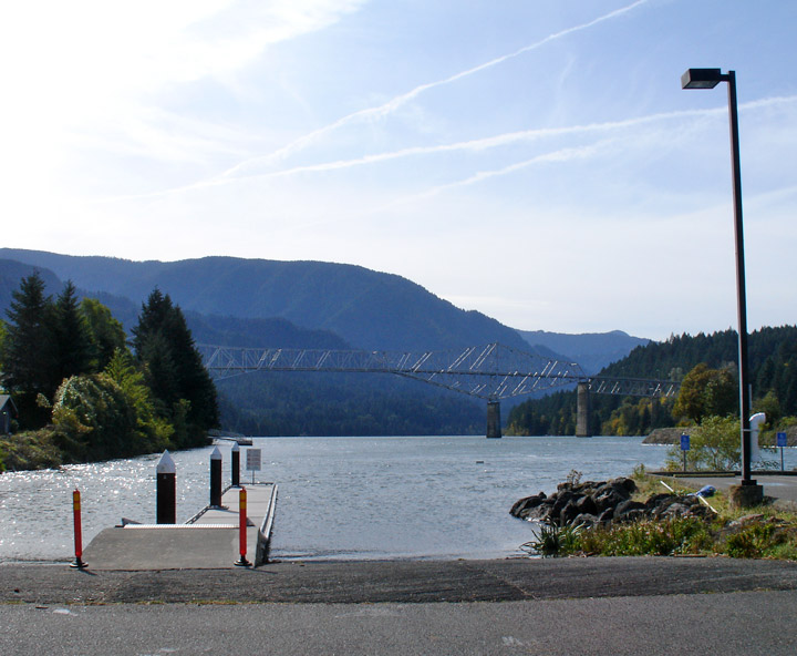
Cascade Locks is located just upstream from the Bridge of the Gods
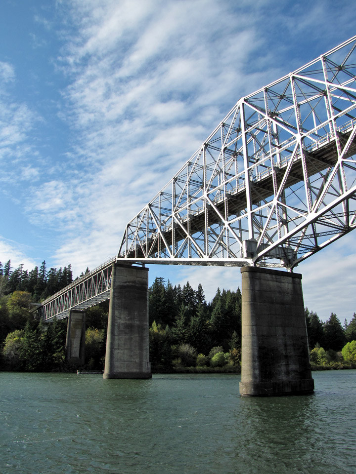
Bridge of the Gods
Cascade Locks is located just upstream from the Bridge of the Gods, a toll bridge that spans the Columbia River. It is the only bridge across the Columbia between Portland and Hood River. Cascade Locks is also a few miles upstream of Eagle Creek Gorge, a popular scenic area that doubles as an alternate route for the Pacific Crest Trail. Cascade Locks is used frequently by hikers along the Pacific Crest Trail (PCT) to cross the Columbia River. Cascade Locks is the lowest point along the trail, which runs from the Mexican border in California to the Canadian border in Washington.
Text from Wikipedia
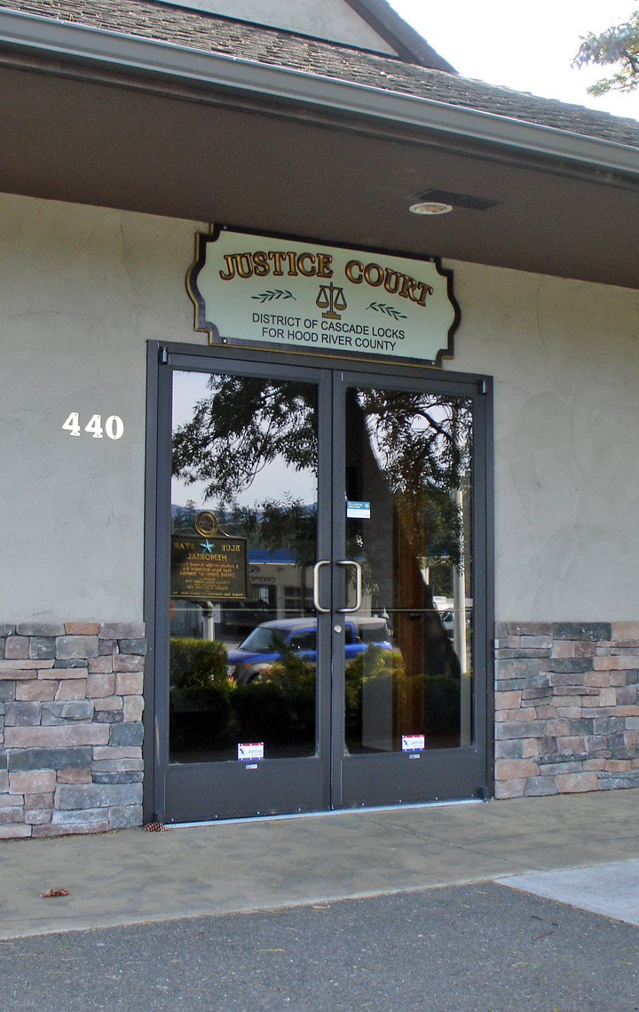
Justice court
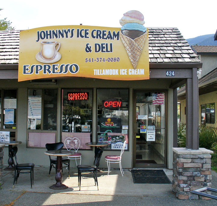
ice cream shop
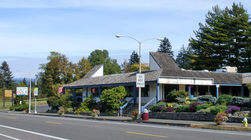
restaurant and inn