


Columbia River Gorge


Columbia River Gorge
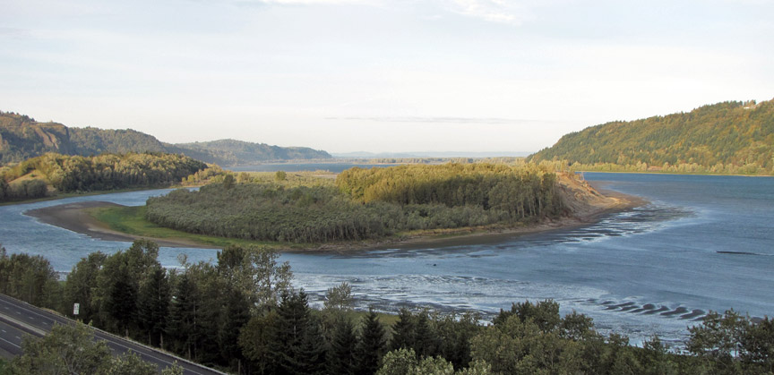
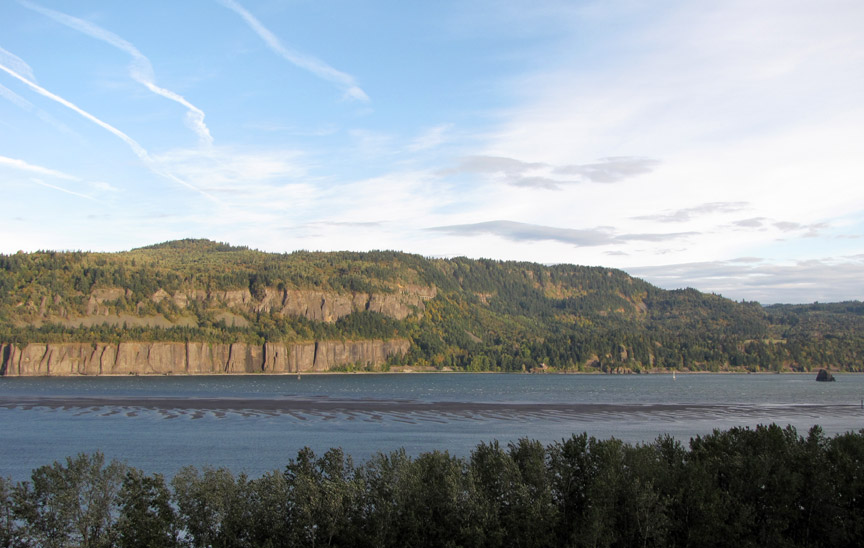
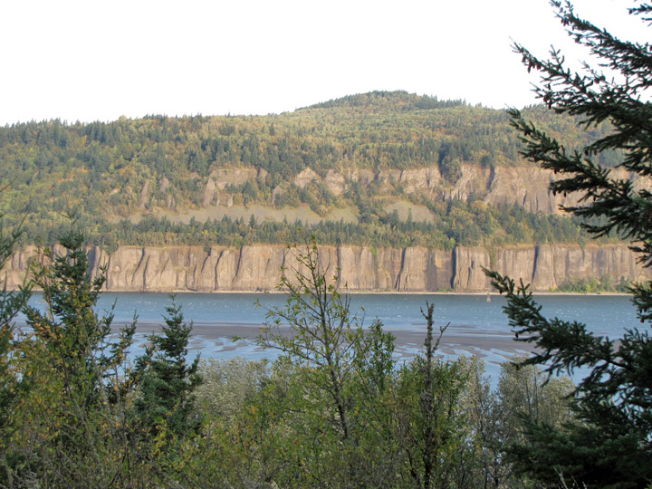
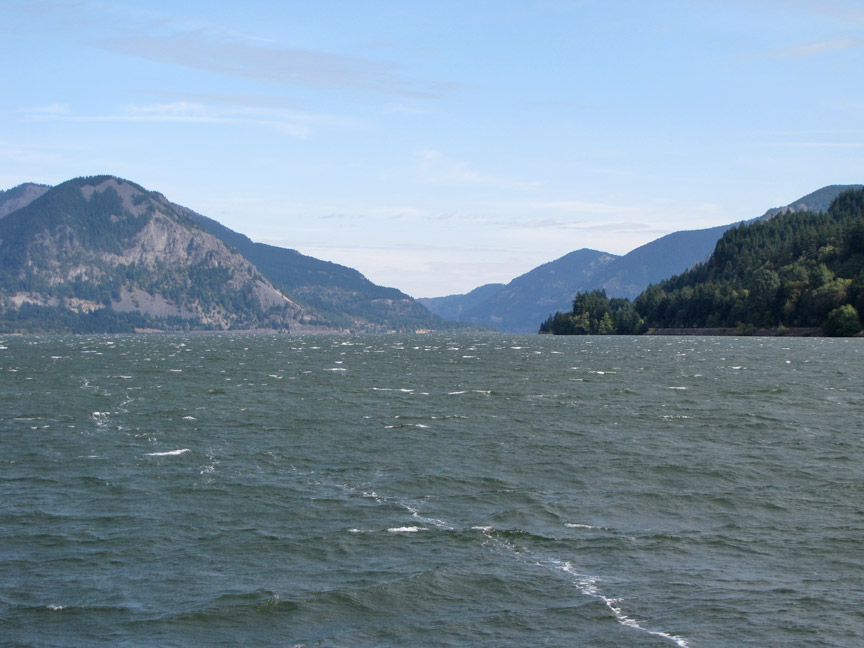
The Columbia River Gorge is a canyon of the Columbia River in the Pacific Northwest of the United States. Up to 4,000 feet (1,200 m) deep, the canyon stretches for over 80 miles (130 km) as the river winds westward through the Cascade Range forming the boundary between the State of Washington to the north and Oregon to the south. Extending roughly from the confluence of the Columbia with the Deschutes River down to eastern reaches of the Portland metropolitan area, the gorge furnishes the only navigable route through the Cascades and the only water connection between the Columbia River Plateau and the Pacific Ocean.
Oregon trail
The gorge holds federally protected status as a National Scenic Area called the
Columbia Gorge National Scenic Area and is managed by the United States Forest
Service. The gorge is a popular recreational destination.
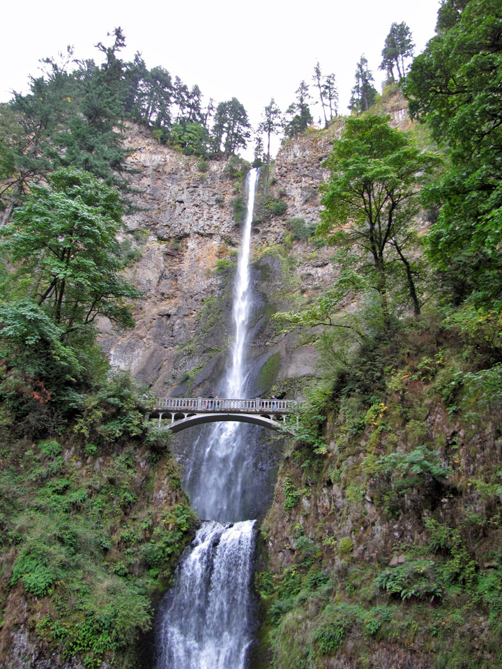
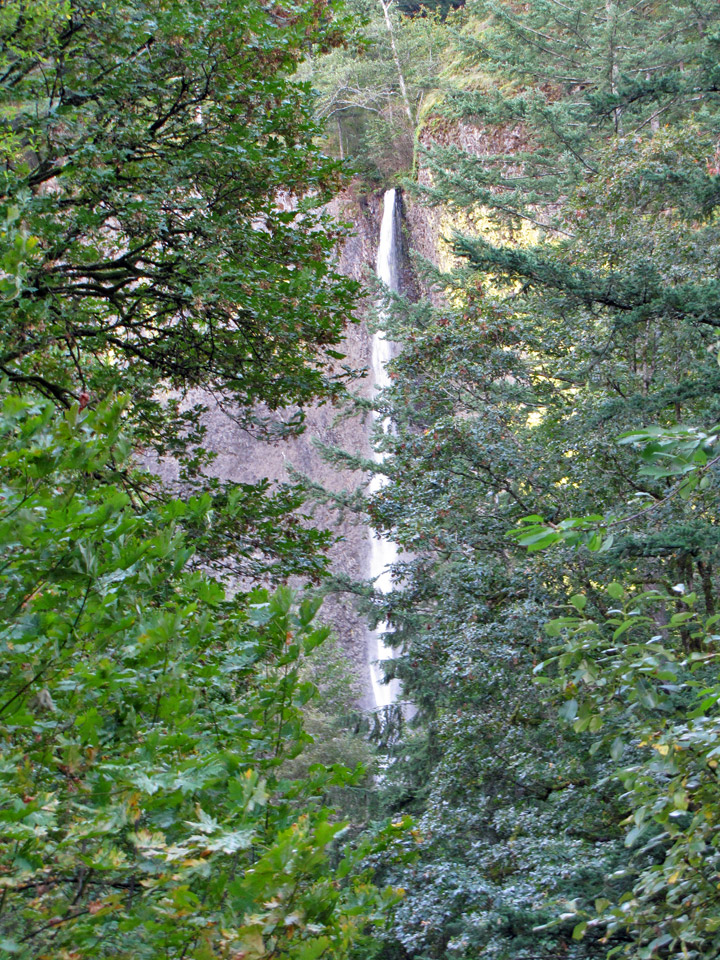
Multnomah Falls
More Photos of the Multnomah Falls
The western gorge is dominated by conifers, Bigleaf Maple, cottonwood, Oregon Ash, and Vine Maple. The eastern gorge is home to Bigleaf Maple and Garry Oak. The wide range of elevation and precipitation in the gorge creates a diverse collection of ecosystems from the temperate rain forest at Oneonta Gorge (with an average annual precipitation of 75 inches (1,900 mm) to the Celilo grasslands (with average annual precipitation 12 inches (300 mm), with a transitional dry woodland between Hood River and The Dalles.
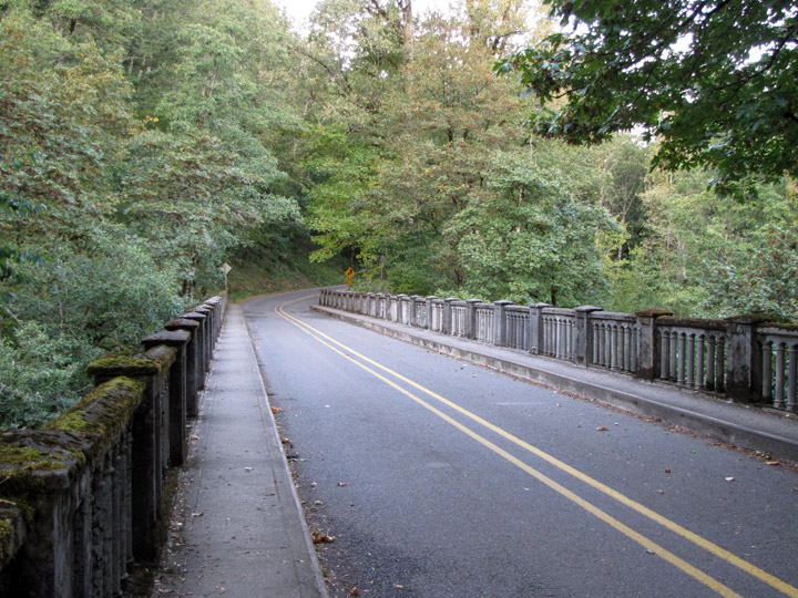
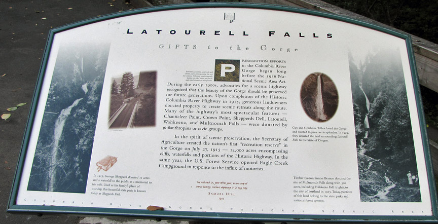
Historic Columbia River Highway
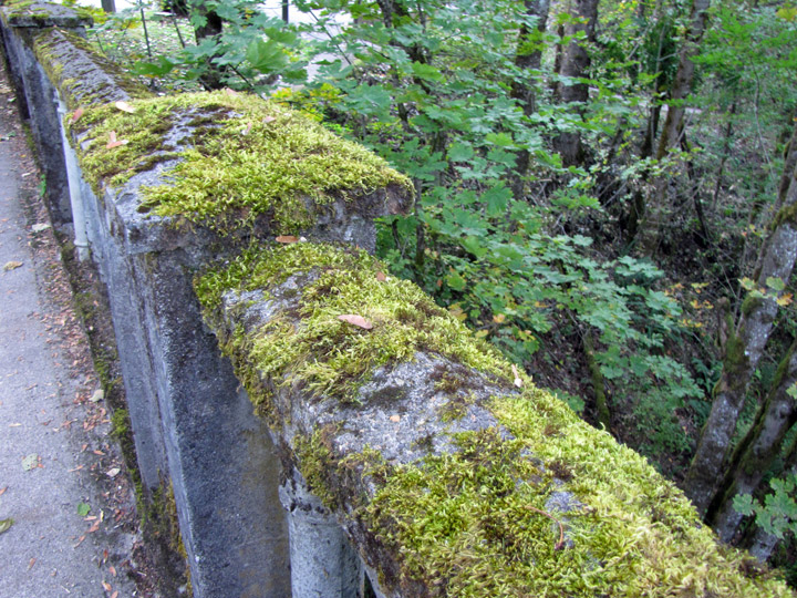
moss covered concrete
and in the trees
A large variety of endemic wildflowers thrives throughout the gorge. Atmospheric pressure differentials east and west of the Cascades create a wind tunnel effect in the deep cut of the gorge, generating 35 mph (56 km/h) winds that make it a popular windsurfing and kiteboarding location.
Wahkeena Falls
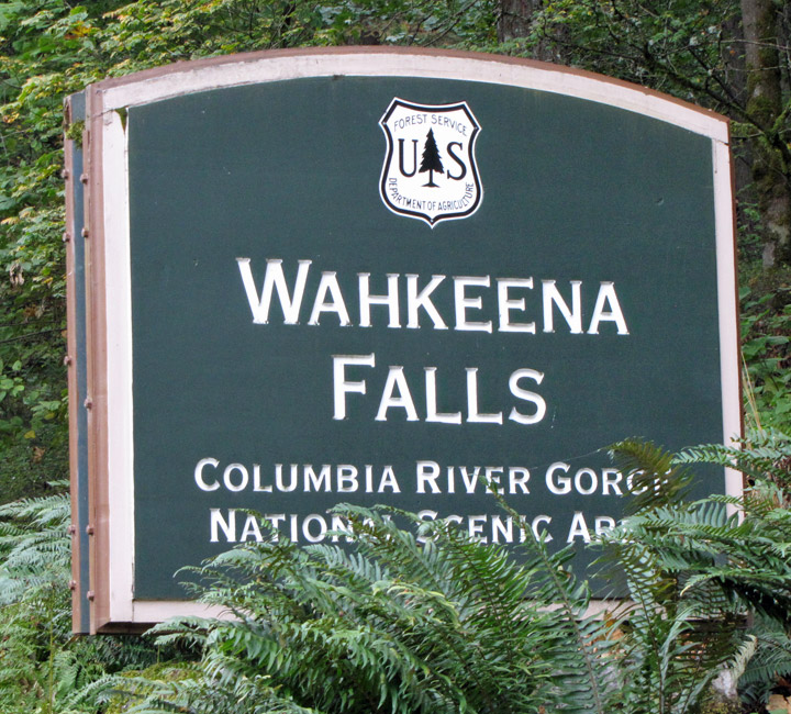
The gorge also contains a high concentration of waterfalls, with over 77
waterfalls on the Oregon side of the gorge alone. Many are along the Historic
Columbia River Highway, including the notable 620-foot (190 m)-high Multnomah
Falls.
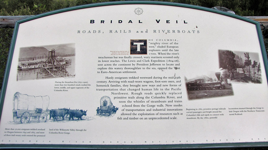
Rails, Roads and Riverboats
The Columbia River Gorge began forming as far back as the Miocene Era, (roughly
12 - 17 million years ago), and continued to take shape through the Pleistocene
era, (700,000 - 2 million years ago). During this period the Cascades Range was
forming, which slowly moved the Columbia River's delta about 100 miles (160 km)
north to its current location.
Although the river slowly eroded the land over this period of time, the most
drastic changes took place at the end of the last Ice Age when the Missoula
Floods cut the steep, dramatic walls that exist today. This quick erosion
left many layers of volcanic rock exposed.
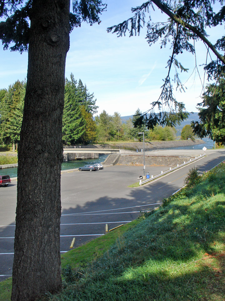
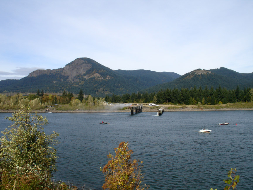
Cascade Locks
More Photos of the Cascade locks
The gorge has supported human habitation for over 13,000 years. Evidence of the Folsom and Marmes people, who crossed the Bering land bridge from Asia, were found in archaeological digs. Excavations near Celilo Falls, a few miles east of The Dalles, show humans have occupied this salmon-fishing site for more than 10,000 years.
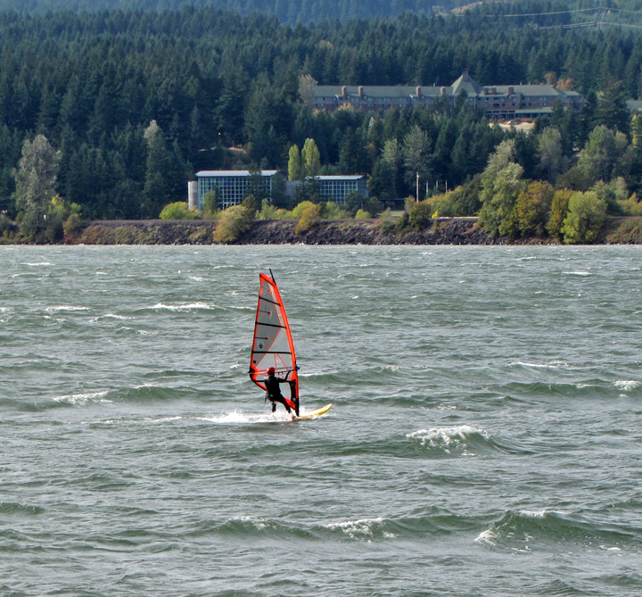
windsurfing
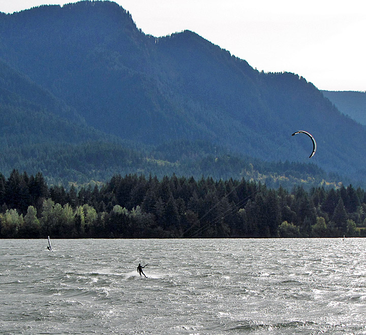
and kiteboarding
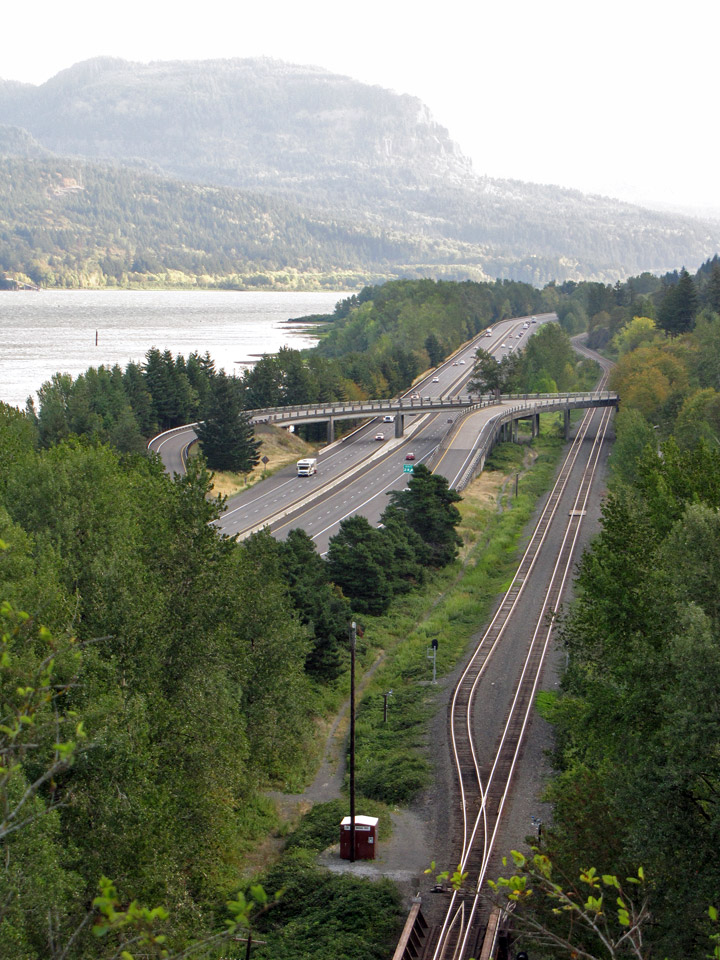
The gorge have provided a transportation corridor for thousands of years.
American Indians would travel through the Gorge to trade at Celilo Falls, both
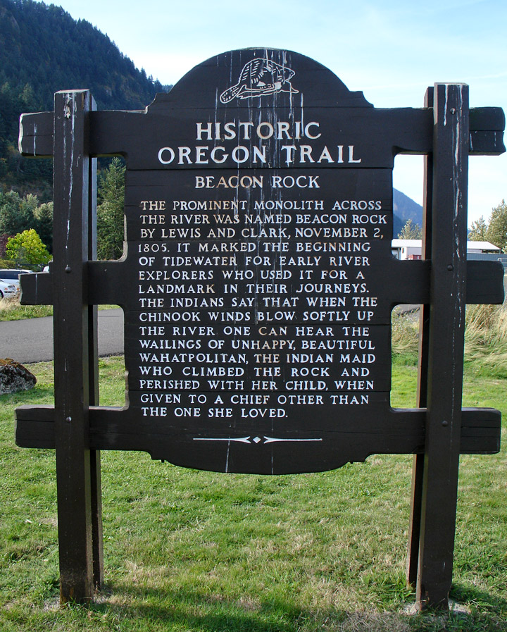
along the river and over Lolo Pass on the north side of Mount Hood. In 1805, the
route was used by the Lewis and Clark Expedition to reach the Pacific. Early
European and American settlers subsequently established steamboat lines and
railroads through the gorge. Today, the BNSF Railway runs freights along the
Washington side of the river, while its rival, the Union Pacific Railroad, runs
freights along the Oregon shore. Until 1997, Amtrak's Pioneer also used the
Union Pacific tracks. The Portland segment of the Empire Builder uses the BNSF
tracks that pass through the gorge.
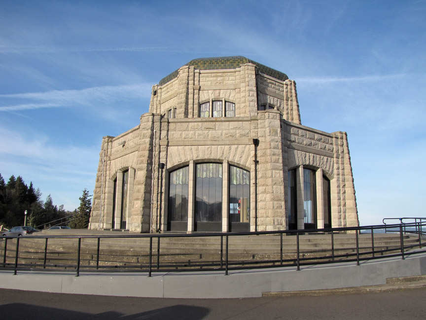
Crown Point Vista House
More Photos of the Crown Point Vista House
The Columbia River Highway, built in the early 20th century, was the first major paved highway in the Pacific Northwest. Shipping was greatly simplified after Bonneville Dam and The Dalles Dam submerged the gorge's major rapids.
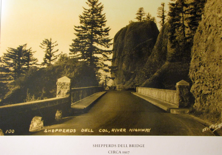
photo from 1917
former roadway tunnel
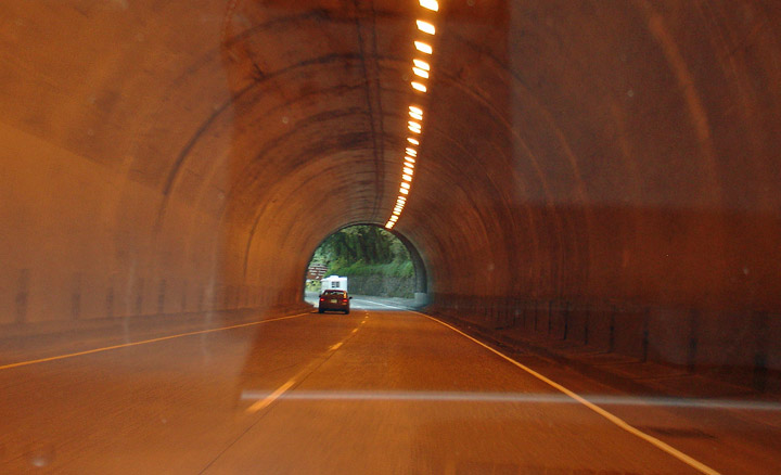
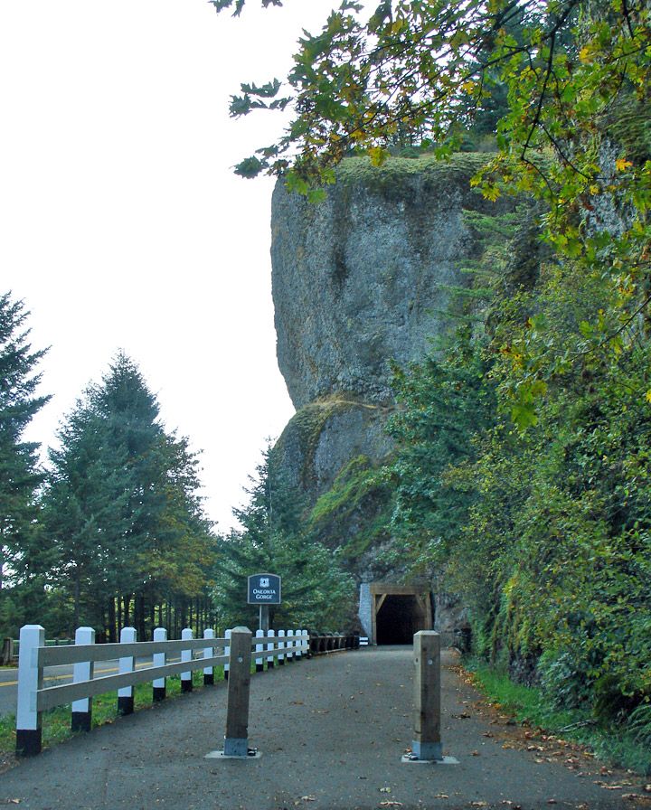
current road tunnel
the early rutty road
In November 1986, Congress made it the first U.S. National Scenic Area and established the Columbia River Gorge Commission as part of an interstate compact. In 2004, the gorge became the namesake of the Columbia Gorge American Viticultural Area, a 4,432-acre (1,794 ha) area located on both sides of the river.
Text from Wikipedia
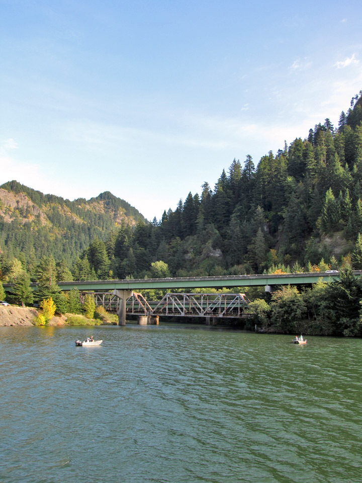
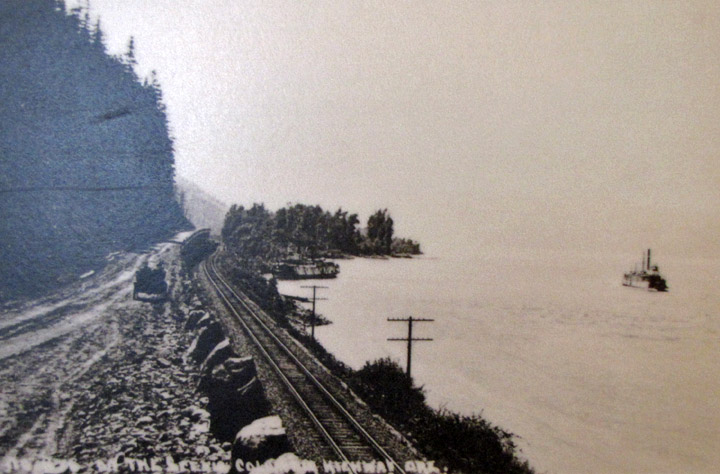
boats, road, rail and the Historic road
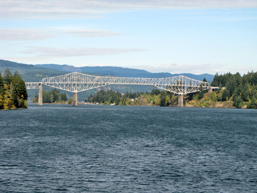
Bridge of the Gods
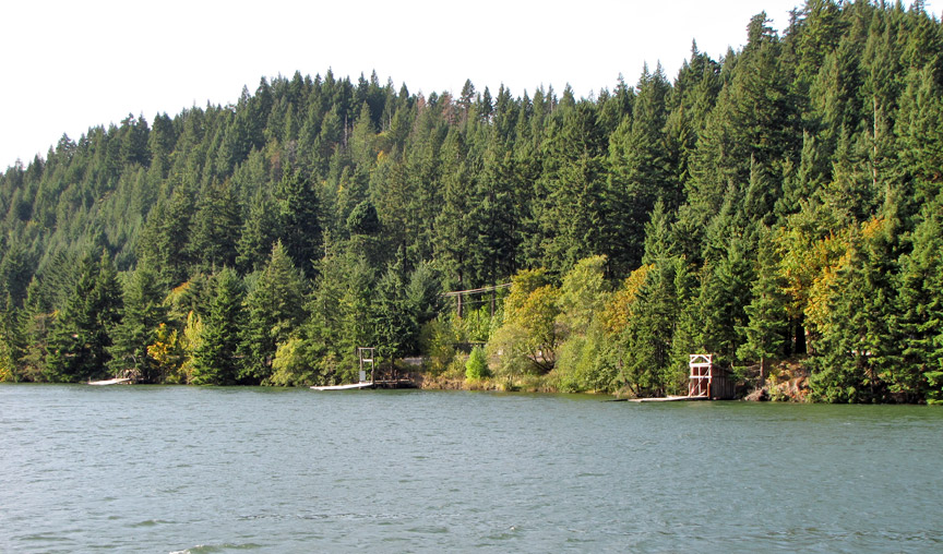
Native American fishing stands
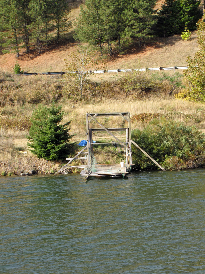
fishing from the platform
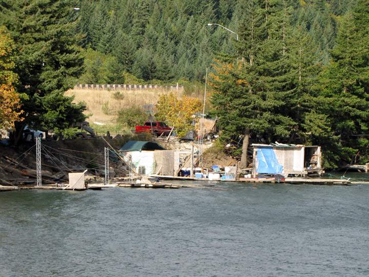
selling the fish to anyone
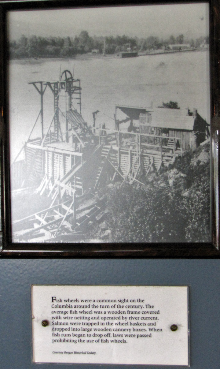
traditional fish wheel
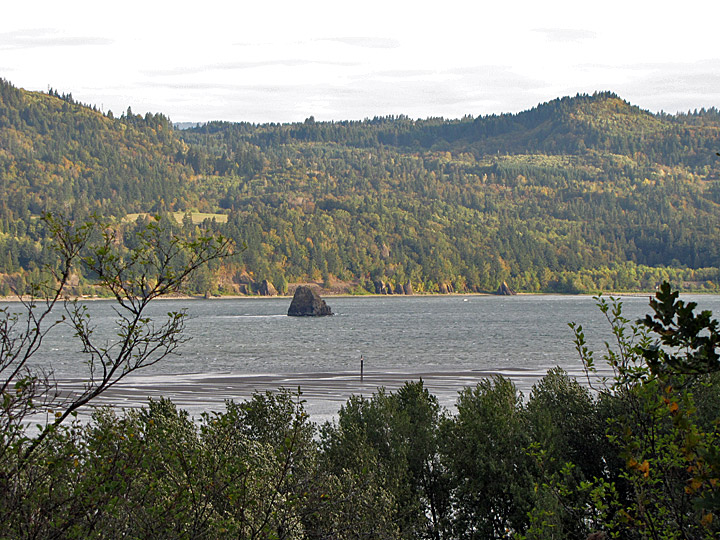
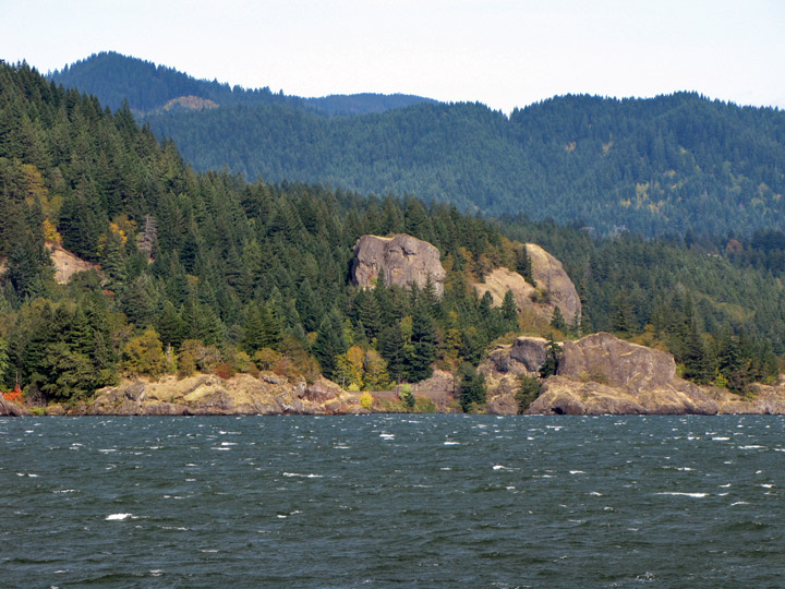
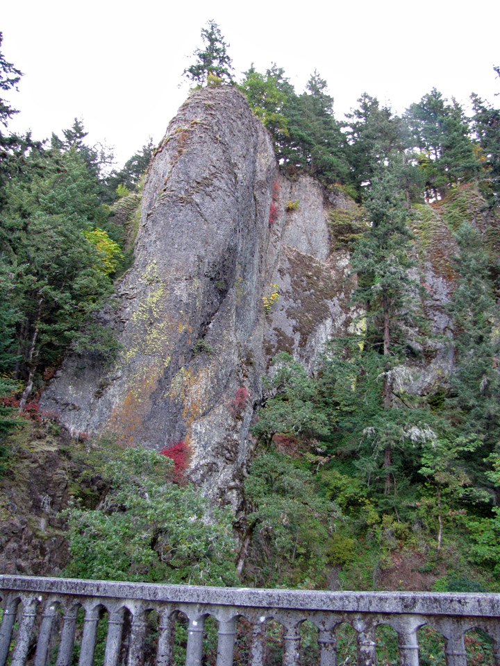
rock in the Columbia River
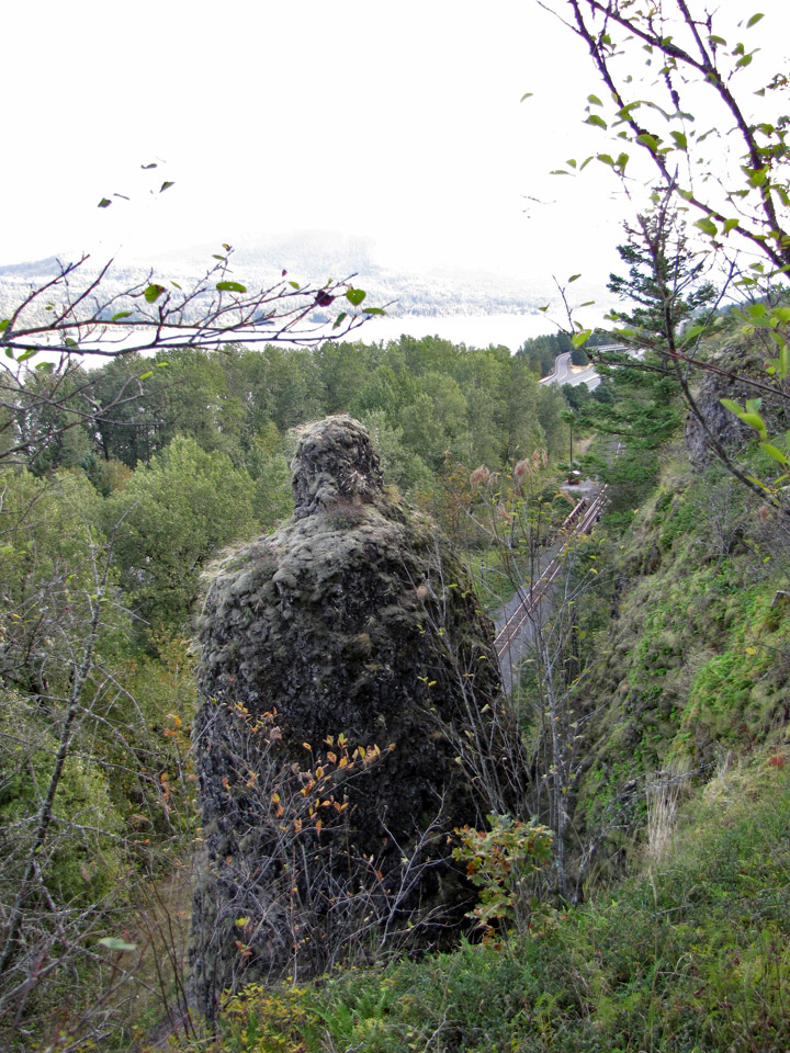
slide zone
rock slide into the river
looking upstream