


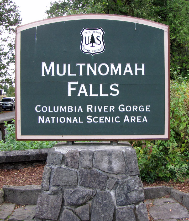
Multnomah Falls
Multnomah Falls
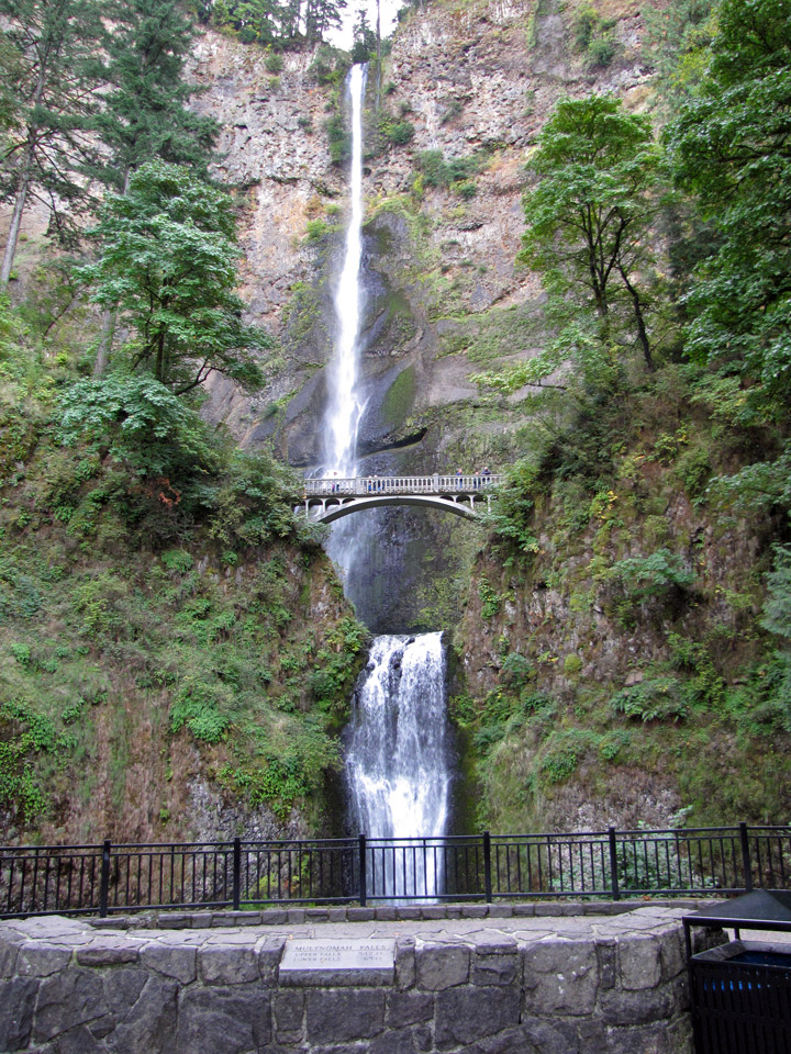
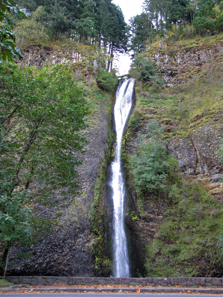
.Multnomah Falls is a waterfall on the
Oregon side of the Columbia River Gorge, located east of Troutdale, between
Corbett and Dodson, along the Historic Columbia River Highway. The falls drops
in two major steps, split into an upper falls of 542 feet (165 m) and a lower
falls of 69 feet (21 m), with a gradual 9 foot (3 m) drop in elevation between
the two, so the total height of the waterfall is conventionally given as 620
feet (189 m). Multnomah Falls is the tallest waterfall in the State of Oregon.
The Multnomah Creek Bridge on the Historic Columbia River Highway.
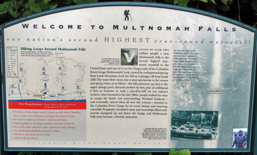
Underground springs from Larch Mountain are the year-round source of water for
the waterfall, augmented by spring runoff from the mountain's snowpack and
rainwater during the other seasons.
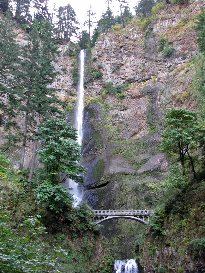
A foot trail leads to Benson Footbridge, a 45-foot (14 m)-long footbridge that
allows visitors to cross 105 feet (32 m) above the lower cascade. The trail
continues to a platform at the top of the upper falls, the Larch Mountain
Lookout, where visitors get a bird's-eye view of the Columbia Gorge and also of
"Little Multnomah", a small cascade slightly upstream from the "upper" falls,
which is not visible from ground level. The footbridge is named after Simon
Benson, who had the bridge built in 1914.
upper falls
Benson soon gave Portland land that included most of the falls as well as nearby Wahkeena Falls. The Oregon-Washington Railroad and Navigation Company gave Portland land at the base of Multnomah Falls contingent upon their agreement to build a lodge at the site. A few years later architect A.E. Doyle, who designed the Meier & Frank Building, was commissioned by the city to design the lodge, which was completed in 1925. The lodge is now on the National Register of Historic Places.
In contrast to other falls along the Gorge, the Multnomah area is also reachable
via a stretch of I-84 east of Troutdale, Oregon. The rest area and tunnel under
the road (as well as the Union Pacific Railroad tracks) allow Interstate
travelers from either direction to stop and visit the falls.
Text from Wikipedia
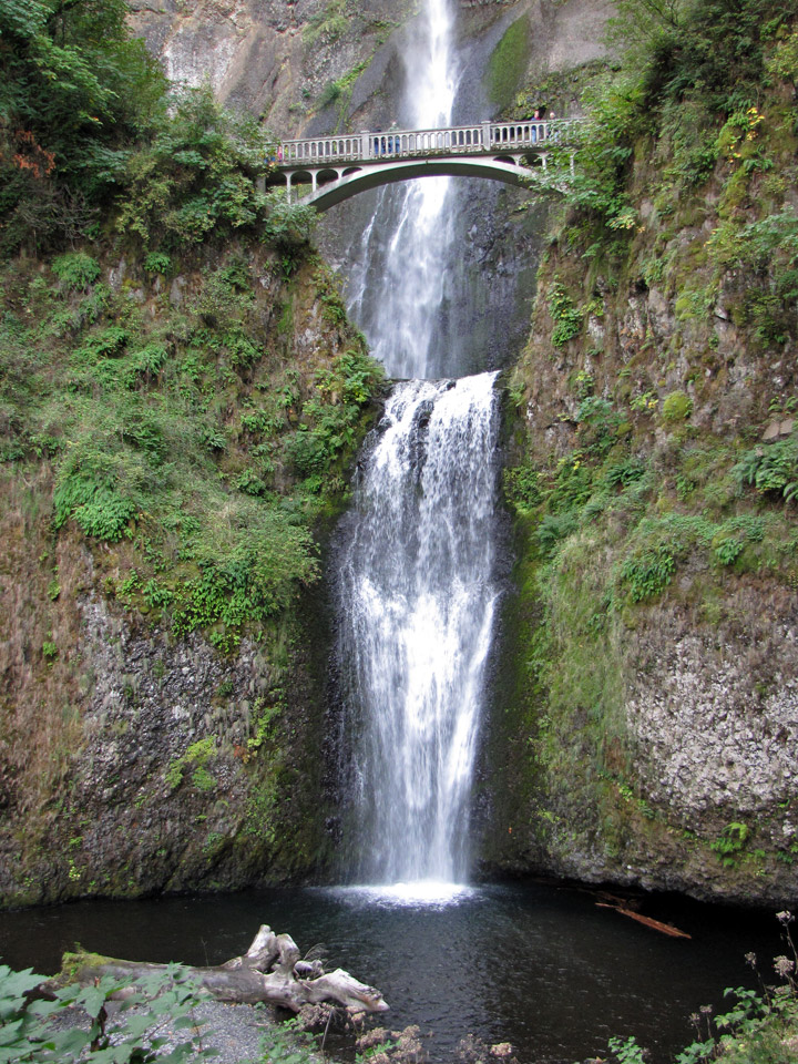
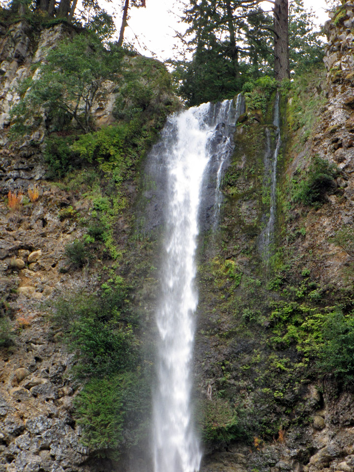
lower falls
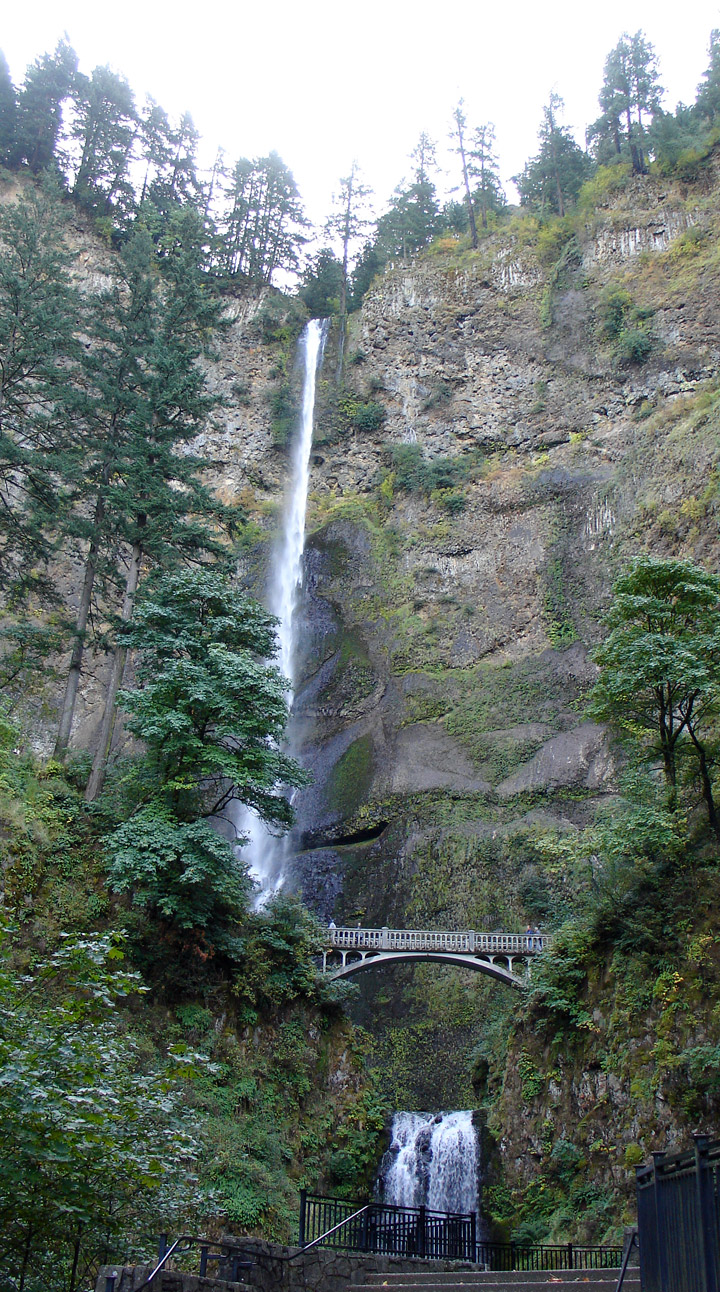
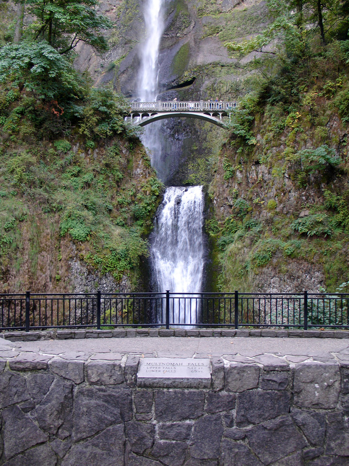
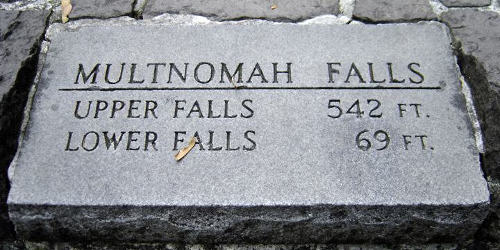
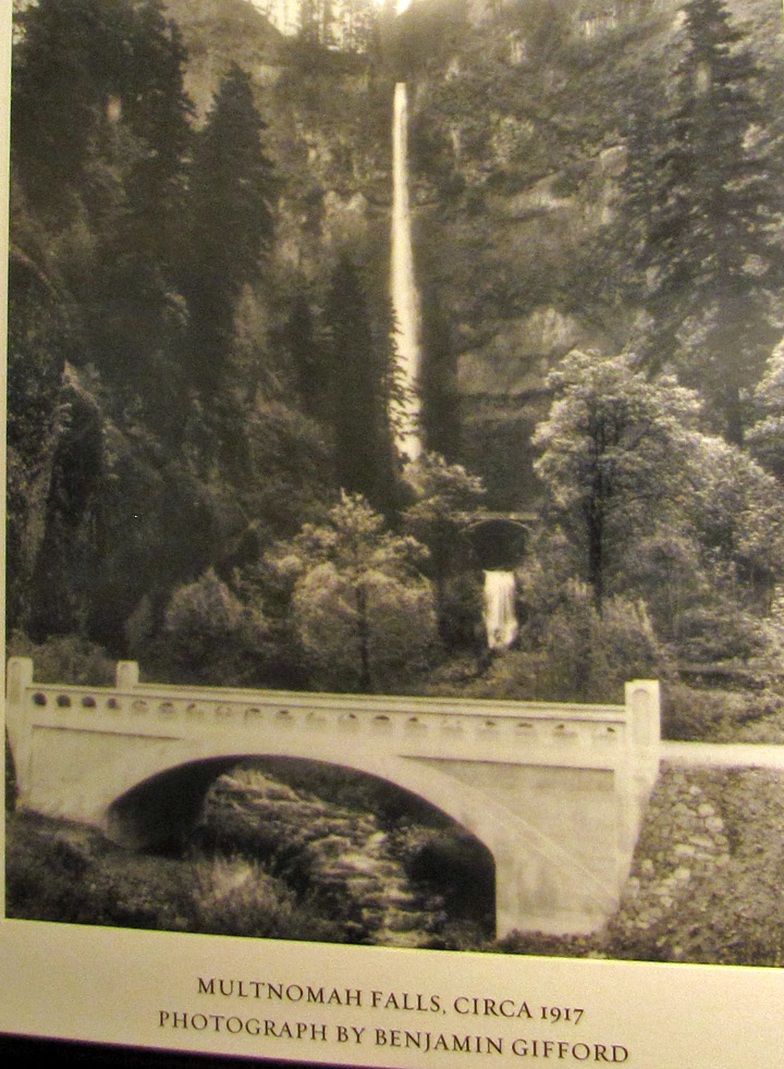
photo from 1917
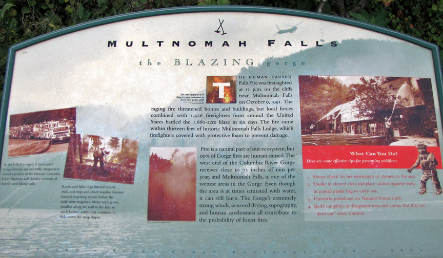
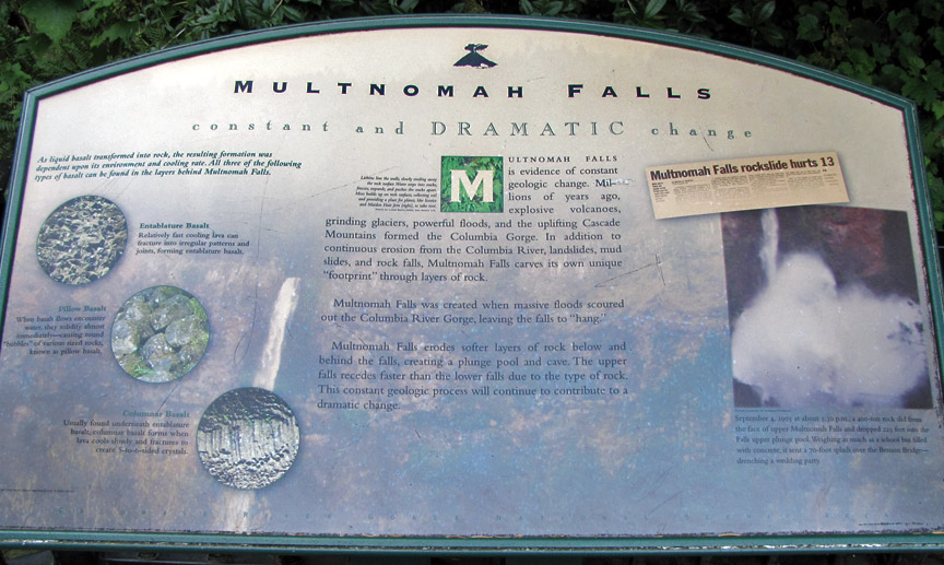
fire threat

Oregon rocks
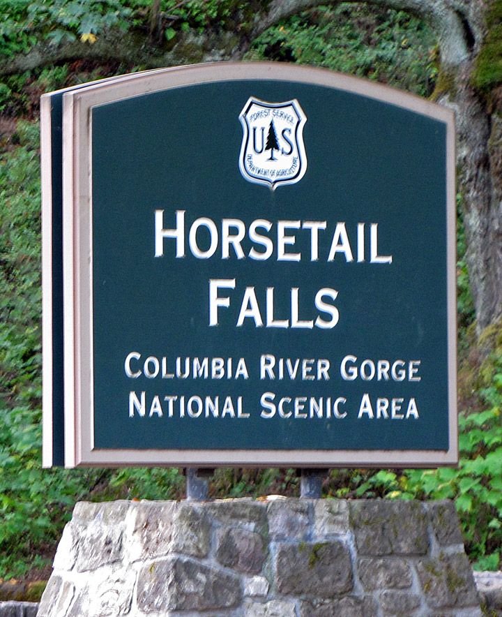
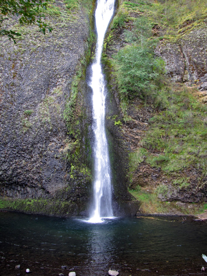
Horsetail Falls
Horsetail Falls
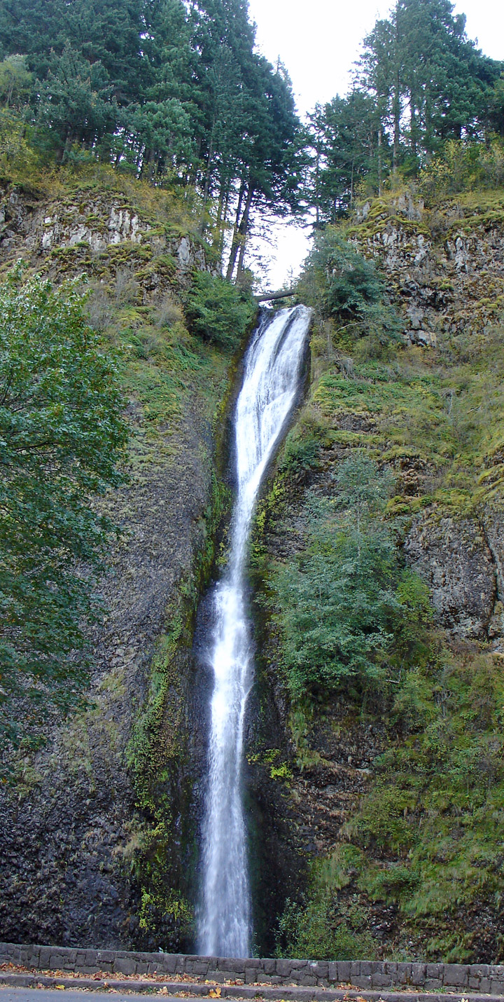
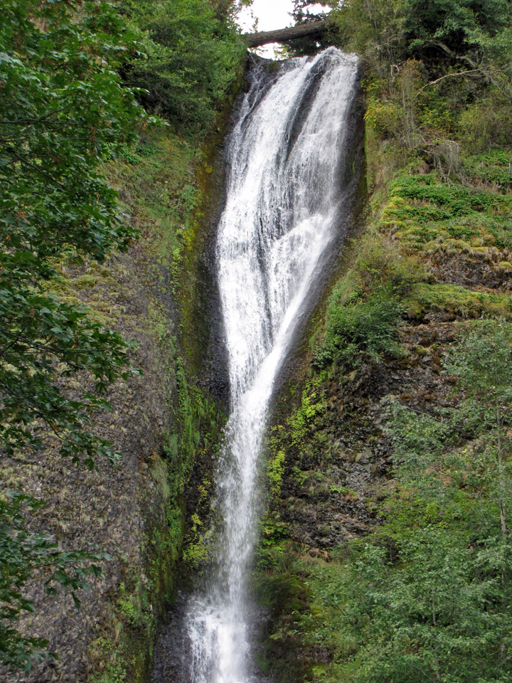
Horsetail Falls (or Horse Tail Falls) is a waterfall along the Columbia River Gorge in Oregon, United States.
The waterfall is easily accessed, in contrast to its near neighbor Oneonta
Falls, as it is right next to the Historic Columbia River Highway. The shape of
the falls and the rounded rockface over which it flows cause it to resemble a
horse's tail.
upper falls
There are actually two waterfalls along the creek. The upper falls, called Upper Horsetail Falls or Ponytail Falls, can be accessed from a footpath.
Text from Wikipedia
lower falls
horsetail falls