


Tour of Rapa Nui
(Easter Island)
Photos from 1985
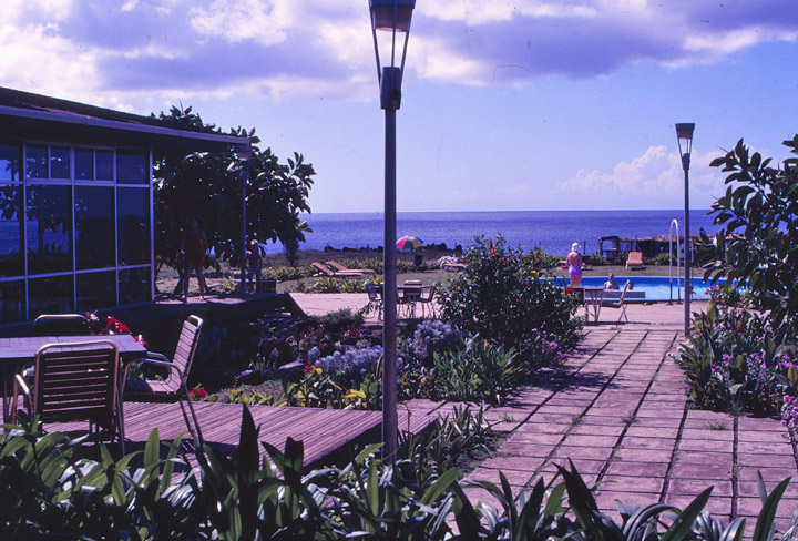
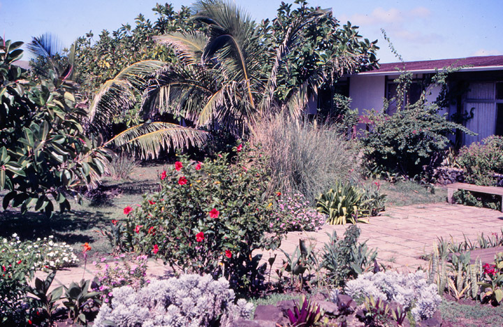
the hotel
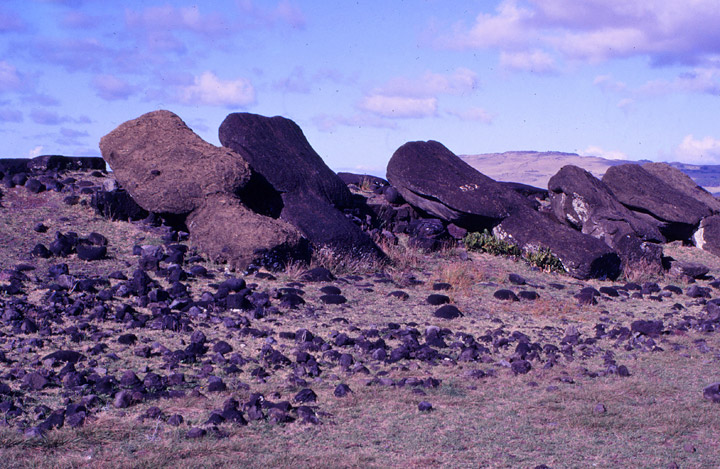
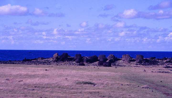
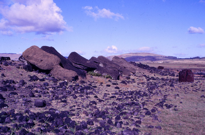
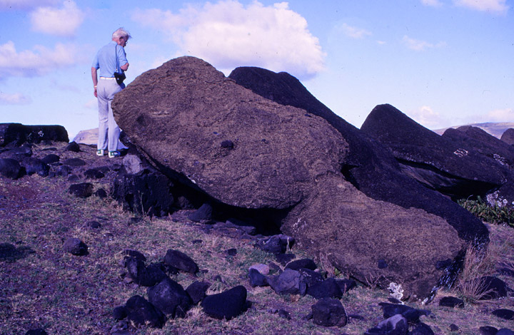
Easter Island (Rapa Nui in the Rapa Nui language, Isla de Pascua in Spanish), is a Polynesian island in the south eastern Pacific Ocean, at the southeastern most point of the Polynesian triangle. The island is an overseas territory of Chile. Rapa Nui was first visited by Europeans on Easter Sunday of 1722. Easter Island is famous for its monumental statues, called moai; created by the Rapanui people. It is a world heritage site with much of the island protected within the Rapa Nui National Park.
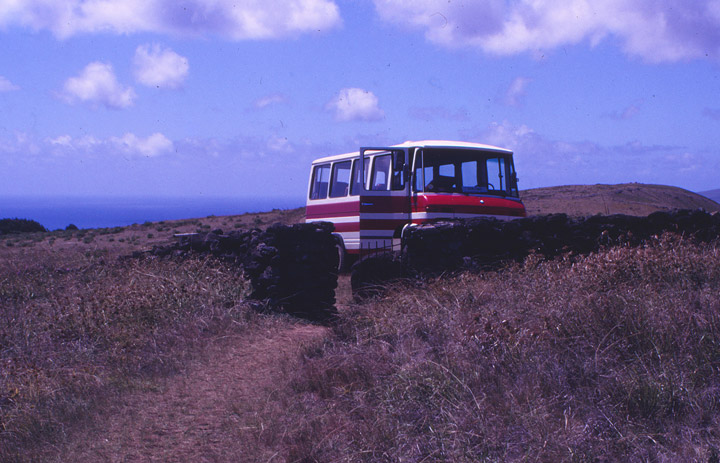
the van used to tour the island
On Easter Sunday, 1722 Easter Island
was named by its first recorded European visitor, the Dutch explorer Jacob
Roggeveen, who was searching for Davis or David's island. The island's official
Spanish name, Isla de Pascua, is Spanish for "Easter Island".
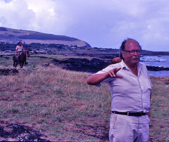
the tour leader
The current Polynesian name of the island, Rapa Nui or "Big Rapa", was coined by labor immigrants from Rapa in the Bass Islands, who likened it to their home island in the aftermath of the Peruvian slave deportations in the 1870s. However, Thor Heyerdahl has claimed that the naming would have been the opposite, Rapa being the original name of Easter Island and Rapa Iti was named by its refugees. There are several options for the "original" Polynesian name for Easter Island, including Te pito o te henua, or the "The Navel of the World" due to its isolation. Legends claim that the island was first named as Te pito o te kainga a Hau Maka, or the "Little piece of land of Hau Maka".
Easter Island is one of the world's most isolated inhabited islands. It is 3,600
km (2,237 mi) west of continental Chile and 2,075 km (1,290 mi) east of Pitcairn
(Sala y Gómez 415 kilometres to the east is closer but uninhabited).
It has a latitude close to that of Caldera, Chile, an area of 163.6 km² (63
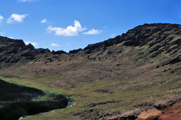
mi²), and a maximum altitude of 507 metres. There are three Rano (freshwater
crater lakes) at Rano Kau, Rano Raraku and Rano Aroi near the summit of Terevaka,
but no permanent streams or rivers.
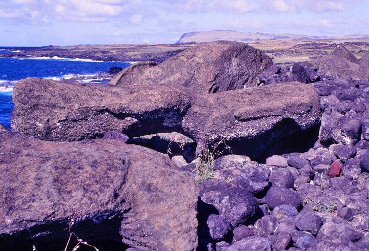
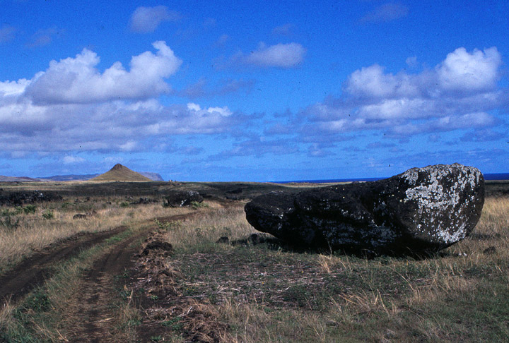
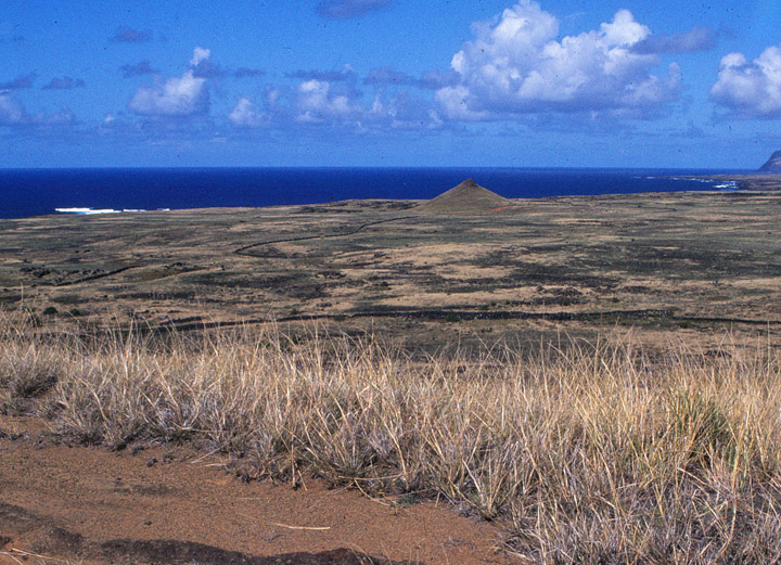
Easter Island is a volcanic high island, consisting of three extinct volcanoes:
Terevaka (altitude 507 metres) forms the bulk of the island. Two other volcanoes
Poike and Rano Kau form the Eastern and Southern headlands and give the island
its approximately triangular shape. There are numerous lesser cones and other
volcanic features, including the crater Rano Raraku, the cinder cone Puna Pau
and many volcanic caves including lava tubes.
Easter Island and surrounding islets such as Motu Nui, Motu Iti are the summit
of a large volcanic mountain which rises over two thousand metres from the sea
bed. It is part of the Sala y Gómez Ridge a (mostly submarine) mountain range
with dozens of seamounts starting with Pukao and then Moai, two sea mounts to
the west of Easter Island, and extending 2,700 km (1,700 mi) east to the Nazca
Seamount.
Pukao, Moai and Easter Island were formed in the last three quarters of a
million years, with the most recent eruption a little over a hundred thousand
years ago. They are the youngest mountains of the Sala y Gómez Ridge, which has
been formed by the Nazca Plate floating over the Easter hotspot. Only at Easter
Island, its surrounding islets and Sala y Gómez does the Sala y Gómez Ridge form
dry land.
First settled by a small party of Polynesians, Easter Island is one of the
youngest inhabited territories on Earth, and for most of its history it was the
most isolated inhabited territory on Earth. Its inhabitants, the Rapanui, have
endured famines, epidemics, civil war, slave raids and colonialism; have seen
their population crash on more than one occasion, and created a cultural legacy
that has brought them fame out of all proportion to their numbers.
Easter Island, together with its closest neighbour, the tiny island of Isla Sala
y Gómez 415 km further east, is recognized by ecologists as a distinct ecoregion,
the Rapa Nui subtropical broadleaf forests. Having relatively little rainfall
contributed to eventual deforestation. The original subtropical moist broadleaf
forests are now gone, but paleobotanical studies of fossil pollen and tree
moulds left by lava flows indicate that the island was formerly forested, with a
range of trees, shrubs, ferns, and grasses. A large palm, Paschalococos disperta,
related to the Chilean wine palm (Jubaea chilensis), was one of the dominant
trees, as was the toromiro tree (Sophora toromiro). The palm is now extinct, and
the toromiro is extinct in the wild. However the Royal Botanic Gardens, Kew and
the Göteborg Botanical Garden, are jointly leading a scientific program to
reintroduce the toromiro to Easter Island. The island is, and has been for at
least the last three centuries, mainly covered in grassland with nga'atu or
bulrush in the crater lakes of Rano Raraku and Rano Kau. Presence of these reeds
(which are called totora in the Andes) was used to support the argument of a
South American origin of the statue builders, but pollen analysis of lake
sediments shows these reeds have grown on the island for over 30,000 years.
Before the arrival of humans, Easter Island had vast seabird colonies, no longer
found on the main island, and several species of landbirds, which have become
extinct.
"The overall picture for Easter is the most extreme example of forest
destruction in the Pacific, and among the most extreme in the world: the whole
forest gone, and all of its tree species extinct."
Trees are sparse on modern Easter Island, rarely forming small groves. The
island once possessed a forest of palms and it has generally been thought that
native Easter Islanders deforested the island in the process of erecting their
statues. Experimental archaeology has clearly demonstrated that some statues
certainly could have been placed on wooden frames and then pulled to their final
destinations on ceremonial sites. Rapanui traditions metaphorically refer to
spiritual power (mana) as the means by which the moai were "walked" from the
quarry. However, given the island's southern latitude, the climatic effects of
the Little Ice Age (about 1650 to 1850) may have contributed to deforestation
and other changes but such speculation is unproven. Jared Diamond disregards the
influence of climate but still gives an extensive look into the collapse of the
ancient Easter Islanders in his book Collapse. The disappearance of the island's
trees seems to coincide with a decline of the Easter Island civilization around
the 17th-18th century. Midden contents show a sudden drop in quantities of fish
and bird bones as the islanders lost the means to construct fishing vessels and
the birds lost their nesting sites. Soil erosion due to lack of trees is
apparent in some places. Sediment samples document that up to half of the native
plants had become extinct and that the vegetation of the island was drastically
altered. Chickens and rats became leading items of diet and there are (not
unequivocally accepted) hints at cannibalism occurring, based on human remains
associated with cooking sites, especially in caves.
In his article From Genocide to Ecocide: The Rape of Rapa Nui, Benny Peiser
notes evidence of self-sufficiency on Easter Island when Europeans first
arrived. Although stressed, the island may still have had at least some (small)
trees remaining, mainly toromiro. Cornelis Bouman, Jakob Roggeveen's captain,
stated in his log book, "...of yams, bananas and small coconut palms we saw
little and no other trees or crops." According to Carl Friedrich Behrens,
Roggeveen's officer, "The natives presented palm branches as peace offerings.
Their houses were set up on wooden stakes, daubed over with luting and covered
with palm leaves," (presumably from Banana plants as the island was by then
deforested) the stakes indicate that either driftwood or living trees were still
available, though the reliability of Behrens as a source is questionable. Peiser
however considers these reports to indicate that considerable numbers of large
trees still existed at that time, which is explicitly contradicted by the
Roggeveen quote above.
In his book "A Short History of Progress", Ronald Wright speculates that for a
generation or so, "there was enough old lumber to haul the great stones and
still keep a few canoes seaworthy for deep water". When the day came the last
boat was gone, wars broke out over "ancient planks and wormeaten bits of
jetsam". The people of Rapa Nui exhausted all possible resources, including
eating their own dogs and all nesting birds when finally there was absolutely
nothing left. All that was left were the stone giants who symbolized the
devouring of a whole island. The stone giants became monuments where the
islanders could keep faith and honour them in hopes of a return. By the end,
there were more than a thousand moai (stone statues), which was one for every
ten islanders (Wright, 2004). When the Europeans arrived in the eighteenth
century, the worst was over and they only found one or two living souls per
statue.
Easter Island has suffered from heavy soil erosion during recent centuries, perhaps aggravated by agriculture and massive deforestation. However, this process seems to have been gradual and may have been aggravated by extensive sheep farming throughout most of the 20th century. Jakob Roggeveen reported that Easter Island was exceptionally fertile, producing large quantities of bananas, potatoes and thick sugar-cane. In 1786 M. de La Pérouse visited Easter Island and his gardener declared that "three days work a year" would be enough to support the population.
Rollin, a major in the Perouse expedition of 1786, wrote, "Instead of meeting
with men exhausted by famine... I found, on the contrary, a considerable
population, with more beauty and grace than I afterwards met in any other
island; and a soil, which, with very little labour, furnished excellent
provisions, and in an abundance more than sufficient for the consumption of the
inhabitants."
The fact that oral traditions of the islanders are obsessed with cannibalism is
sometimes taken as evidence supporting a rapid collapse. For example, to
severely insult an enemy one would say: "The flesh of your mother sticks between
my teeth." Diamond suggests that this means the food supply of the people
ultimately ran out; however, cannibalism was widespread across Polynesian
cultures, rendering his conclusion speculative.
Text from Wikipedia
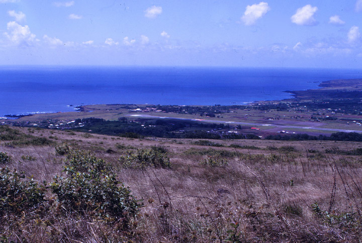
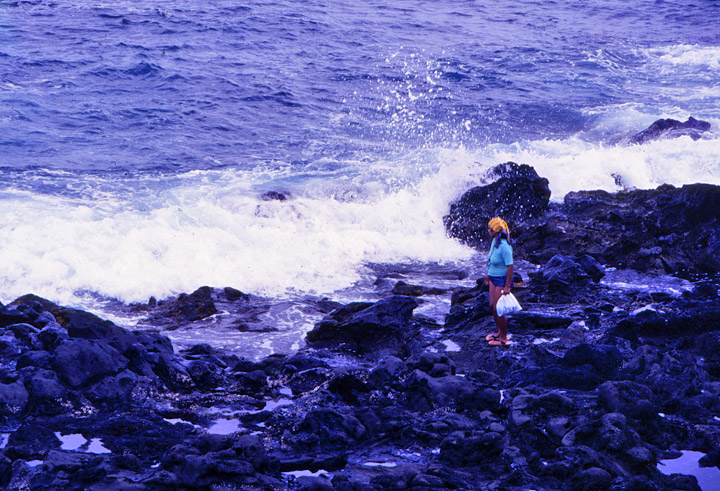
where the inhabitants live
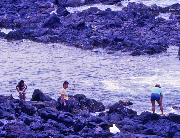
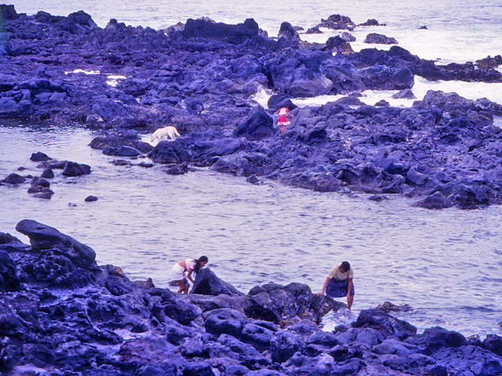
doing their washing
Return to Easter Island and Rapa Nui pages


