Clinton Clemson Columbia Covered Bridges Cowpens Gaffney Greenville Greer Strom Thurmond Walhalla
Columbia
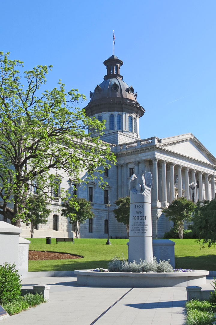
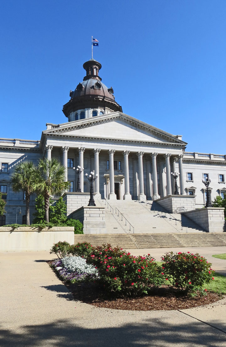
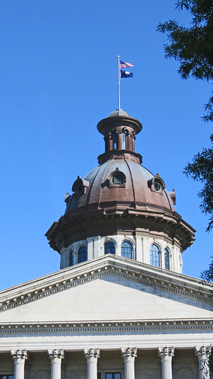
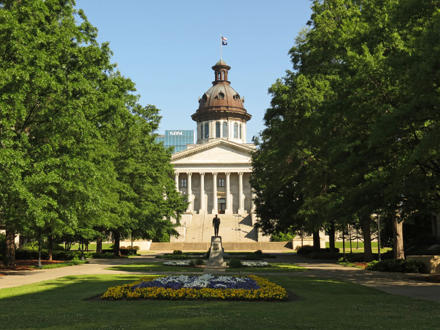
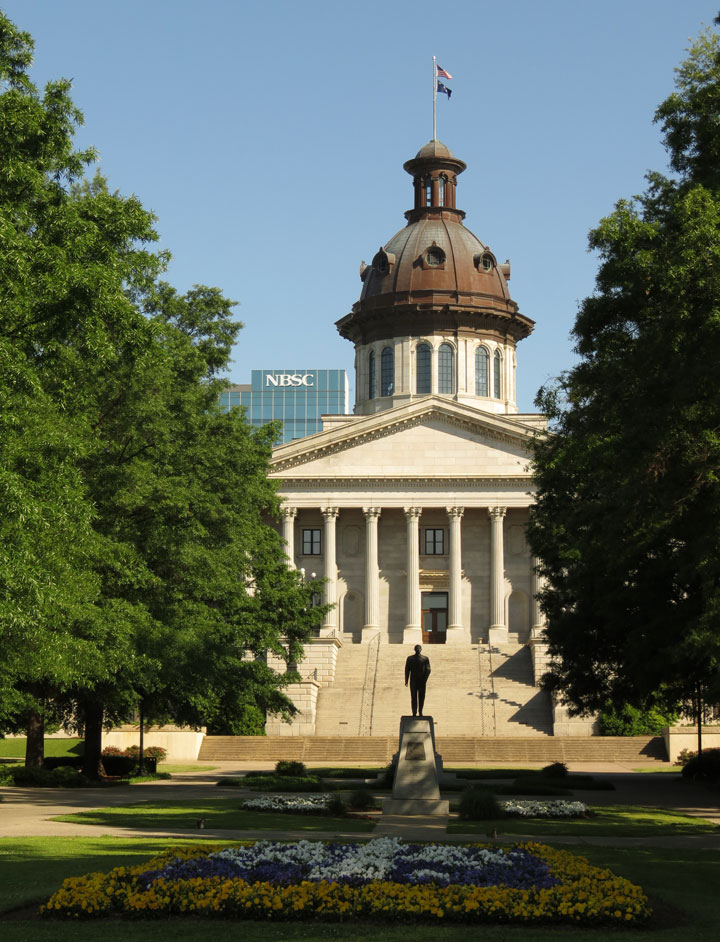
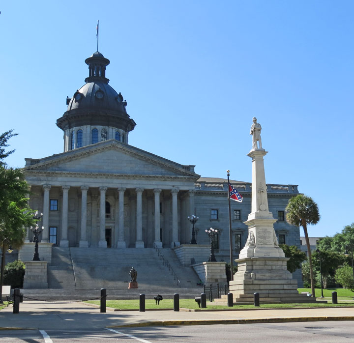
South Carolina Statehouse
Columbia is the state capital and largest city in the U.S. state of South Carolina. The population was 129,272 according to the 2010 census. Columbia is the county seat of Richland County, but a portion of the city extends into neighboring Lexington County. The city is the center of a metropolitan statistical area of 767,598, the largest within the state. The name Columbia was a poetic term for the Americas derived from Christopher Columbus.
Located 13 miles (21 km) northwest of South Carolina's geographic center,
Columbia is the primary city of the Midlands region of South Carolina, which
comprises several counties in the central portion of the state. The city lies at
the confluence of two rivers, the Saluda and the Broad, which merge at Columbia
to form the Congaree River. CNNMoney.com named Columbia as one of America's 25
best places to retire, and U.S. News & World Report ranked the city sixth on
its 2009 America's Best Affordable Places to Retire list.
From the creation of Columbia by the South Carolina General Assembly in 1786,
the site of Columbia was important to the overall development of the state. The
Congarees, a frontier fort on the west bank of the Congaree River, was the head
of navigation in the Santee River system. A ferry was established by the
colonial government in 1754 to connect the fort with the growing settlements on
the higher ground on the east bank.
Like many other significant early settlements in colonial America, Columbia is
on the fall line from the Appalachian Mountains. The fall line is the spot where
rivers usually become unnavigable when sailing upstream, and is also the spot
farthest downstream where falling water can usefully power a mill.
State Senator John Lewis Gervais of Ninety Six introduced a bill that was
approved by the legislature on March 22, 1786, to create a new state capital.
There was considerable argument over the name for the new city. (UTC)According
to published accounts, Senator Gervais said he hoped that "in this town we
should find refuge under the wings of COLUMBIA", for that was the name which he
wished it to be called. One legislator insisted on the name Washington, but
Columbia won out by a vote of 11-7 in the state senate.
The site was chosen as the new state capital in 1786, due to its central
location in the state. The State Legislature first met there in 1790. After
remaining under the direct government of the legislature for the first two
decades of its existence, Columbia was incorporated as a village in 1805 and
then as a city in 1854. Columbia received a large stimulus to development when
it was connected in a direct water route to Charleston, by the Santee Canal.
This canal connected the Santee and Cooper Rivers in a 22-mile (35 km) section.
It was first chartered in 1786 and completed in 1800, making it one of the
earliest canals in the United States. With increased railroad traffic, it ceased
operation around 1850.
The commissioners designed a town of 400 blocks in a two-mile (3 km) square
along the river. The blocks were divided into lots of 0.5 acres (2,000 m2) and
sold to speculators and prospective residents. Buyers had to build a house at
least 30 feet (9.1 m) long and 18 feet (5.5 m) wide within three years or face
an annual 5% penalty. The perimeter streets and two through streets were 150
feet (46 m) wide. The remaining squares were divided by thoroughfares 100 feet
(30 m) wide. The width was determined by the belief that dangerous and pesky
mosquitoes could not fly more than 60 feet (18 m) without dying of starvation
along the way. Columbians still enjoy most of the magnificent network of wide
streets.
The commissioners comprised the local government until 1797 when a Commission of
Streets and Markets was created by the General Assembly. Three main issues
occupied most of their time: public drunkenness, gambling, and poor sanitation.
As one of the first planned cities in the United States, Columbia began to grow
rapidly. Its population was nearing 1,000 shortly after the turn of the century.
In 1801, South Carolina College (now known as the University of South Carolina)
was founded in Columbia. The original building for the College survives to this
day, as part of the University of South Carolina. The city was chosen as the
site of the institution in part to unite the state's citizens in the Upcountry
and the Lowcountry. Additionally, beyond simply uniting the elite youths from
the two separate regions, the founding of the College was intended to keep the
youths out of England, as South Carolina at the time sent more students to
England than any other state. An added incentive to locate the college in
Columbia was that, as lots of properties were not selling as fast as intended in
Columbia, the original land for the College was set aside. Also, the leaders of
South Carolina wished to personally monitor the progress and development of the
school. One result of this desire was that, for many years after its founding,
commencement exercises were held in December while the state legislature was in
session.
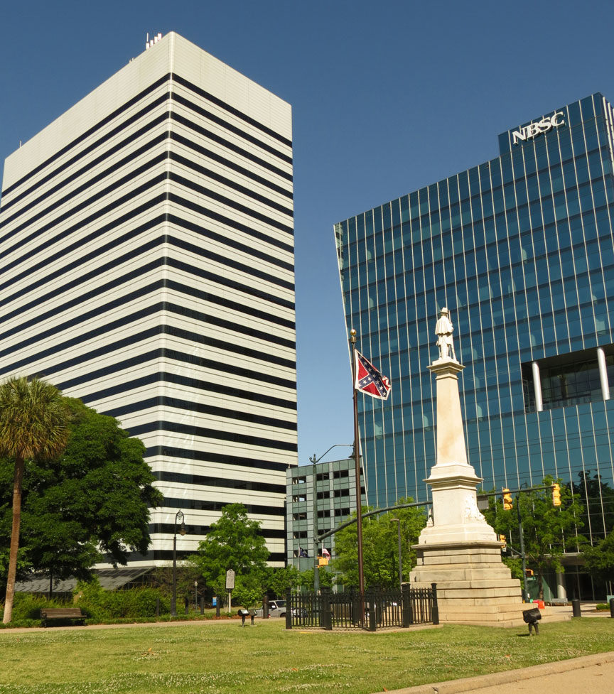
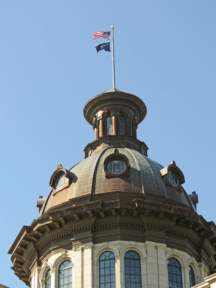
the Confederate banner no longer flying on the Statehouse dome
Was permanently removed from this compromise location on July 10, 2015 by act of the Legislature.
Columbia received its first charter as a town in 1805. An intendant and six wardens would govern the town. John Taylor was the first elected intendant. He later served in both houses of the General Assembly, both houses of Congress, and eventually as governor of the state. By 1816, there were 250 homes in the town and a population over 1,000. Columbia became chartered as a city in 1854, with an elected mayor and six aldermen. Two years later, they had a police force consisting of a full-time chief and nine patrolmen. The city continued to grow at a rapid pace, and throughout the 1850s and 1860s Columbia was the largest inland city in the Carolinas. Railroad transportation served as a significant cause of population expansion in Columbia during this time. Rail lines that reached the city in the 1840s primarily transported cotton bales, not passengers. Cotton was the lifeblood of the Columbia community; in 1850 virtually all of the city's commercial and economic activity was related to cotton.
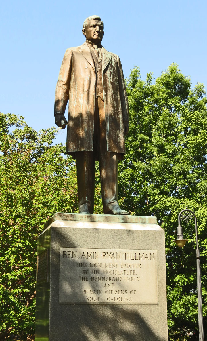
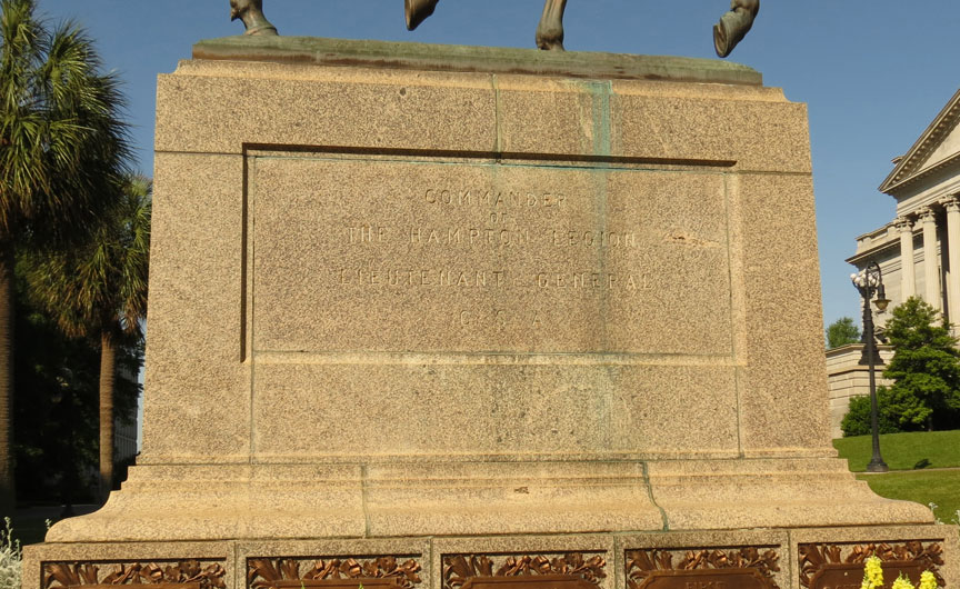
Benjamin Ryan Tillman
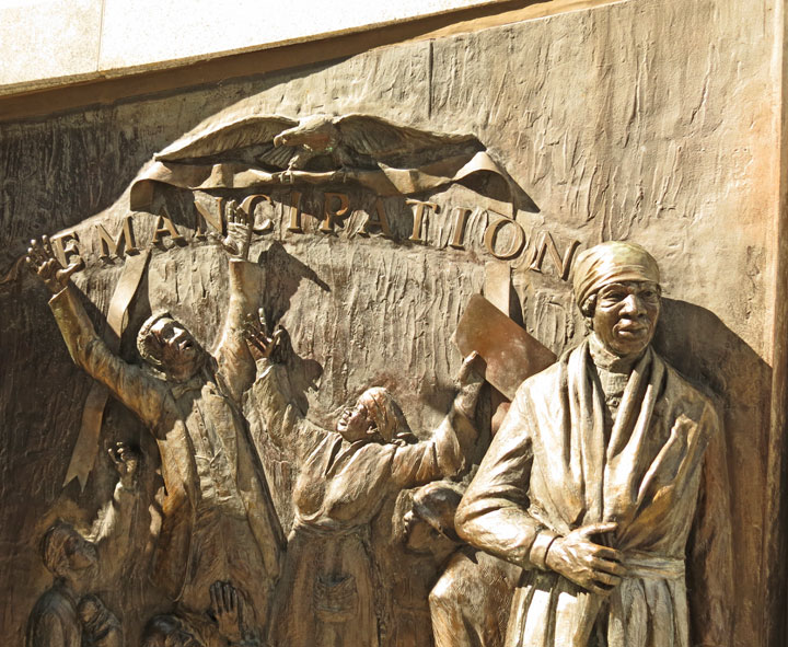
"In 1830, approximately 1,500 slaves lived and worked in Columbia; this population grew to 3,300 by 1860. Some members of this large enslaved population worked in their masters’ households. Masters also frequently hired out slaves to Columbia residents and institutions, including South Carolina College. Hired-out slaves sometimes returned to their owner’s home daily; others boarded with their temporary masters". During this period, "legislators developed state and local statutes to restrict the movement of urban slaves in hopes of preventing rebellion. Although various decrees established curfews and prohibited slaves from meeting and from learning to read and write, such rulings were difficult to enforce". Indeed, "several prewar accounts note that many Columbia slaves were literate; some slaves even conducted classes to teach others to read and write". As well, "many slaves attended services at local Baptist, Presbyterian, and Methodist churches, yet some struggled to obtain membership in these institutions".
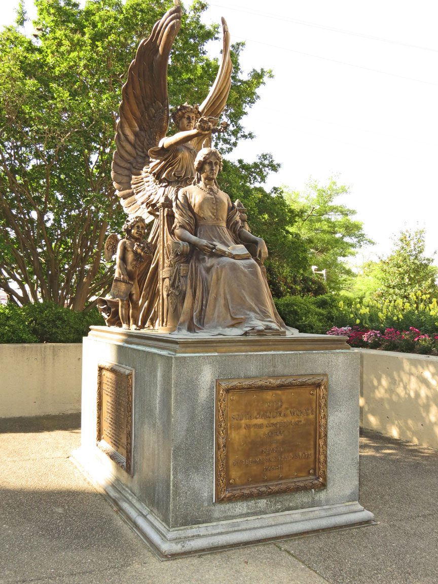
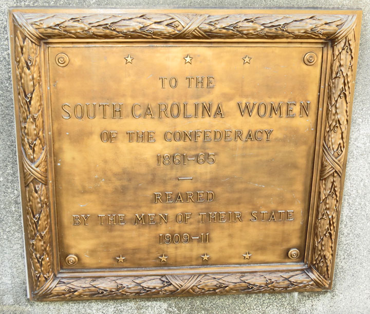
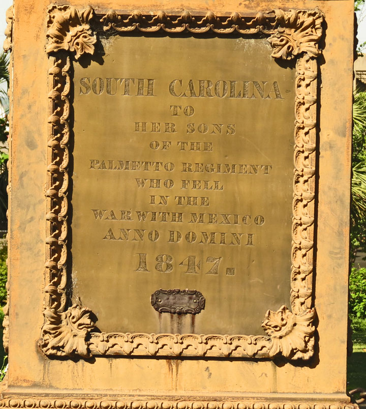
Columbia's First Baptist Church hosted the South Carolina Secession Convention
on December 17, 1860. The delegates drafted a resolution in favor of secession,
159-0. Columbia's location made it an ideal location for other conventions and
meetings within the Confederacy. During the Civil War, bankers, railroad
executives, teachers, and theologians often met in the city to discuss certain
matters.
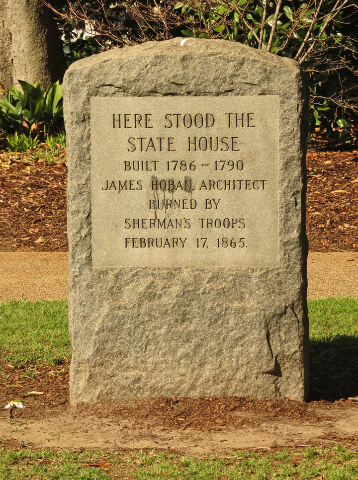
On February 17, 1865, in the last months of the Civil War, much of Columbia was
destroyed by fire while being occupied by Union troops under the command of
General William Tecumseh Sherman. According to legend, Columbia's First Baptist
Church barely missed being torched by Sherman's troops. The soldiers marched up
to the church and asked the groundskeeper if he could direct them to the church
where the declaration of secession was signed. The groundskeeper lied, and
directed the men to the nearby Washington Street Methodist Episcopal Church,
South; thus, the historic landmark was saved from destruction by Union soldiers,
and the groundskeeper preserved his employment at the cost of another.
Controversy surrounding the burning of the city started soon after the war
ended. General Sherman blamed the high winds and retreating Confederate soldiers
for firing bales of cotton, which had been stacked in the streets. General
Sherman denied ordering the burning, though he did order militarily significant
structures, such as the Confederate Printing Plant, destroyed. Firsthand
accounts by local residents, Union soldiers, and a newspaper reporter offer a
tale of revenge by Union troops for Columbia's and South Carolina's pivotal role
in leading Southern states to secede from the Union. Still other accounts
portray it as mostly the fault of the Confederacy. Today, tourists can follow
the path General Sherman's army took to enter the city and see structures or
remnants of structures that survived the fire.
During Reconstruction, Columbia became the focus of considerable attention.
Reporters, journalists, travelers, and tourists flocked to South Carolina's
capital city to witness a Southern state legislature whose members included
ex-slaves. The city also made somewhat of a rebound following the devastating
fire of 1865; a mild construction boom took place within the first few years of
Reconstruction, and repair of railroad tracks in outlying areas created jobs for
area citizens.
The first few years of the 20th century saw Columbia emerge as a regional
textile manufacturing center. In 1907, Columbia had six mills in operation:
Richland, Granby, Olympia, Capital City, Columbia, and Palmetto. Combined, they
employed over 3,400 workers with an annual payroll of $819,000, giving the
Midlands an economic boost of over $4.8 million. Columbia had no paved streets
until 1908, when 17 blocks of Main Street were surfaced. There were, however,
115 publicly maintained street crossings at intersections to keep pedestrians
from having to wade through a sea of mud between wooden sidewalks. As an
experiment, Washington Street was once paved with wooden blocks. This proved to
be the source of much local amusement when they buckled and floated away during
heavy rains. The blocks were replaced with asphalt paving in 1925.
The years 1911 and 1912 were something of a construction boom for Columbia, with
$2.5 million worth of construction occurring in the city. These projects
included the Union Bank Building at Main and Gervais, the Palmetto National
Bank, a shopping arcade, and large hotels at Main and Laurel (the Jefferson) and
at Main and Wheat (the Gresham). In 1917, the city was selected as the site of
Camp Jackson, a U.S. military installation which was officially classified as a
"Field Artillery Replacement Depot." The first recruits arrived at the camp on
September 1, 1917.
In 1930, Columbia was the hub of a trading area with approximately 500,000
potential customers. It had 803 retail establishments, 280 of them being food
stores. There were also 58 clothing and apparel outlets, 57 restaurants and
lunch rooms, 55 filling stations, 38 pharmacies, 20 furniture stores, 19 auto
dealers, 11 shoe stores, nine cigar stands, five department stores and one book
store. Wholesale distributors located within the city numbered 119, with one
third of them dealing in food.
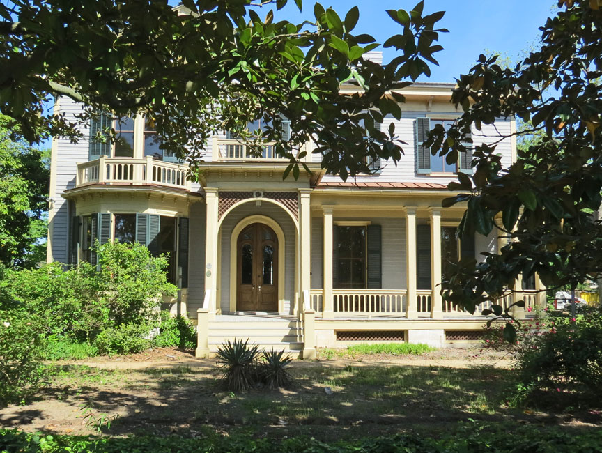
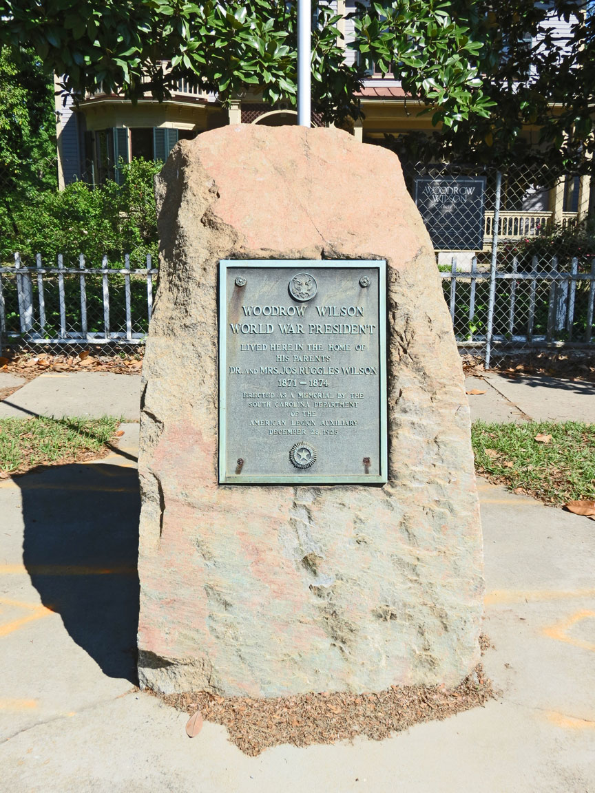
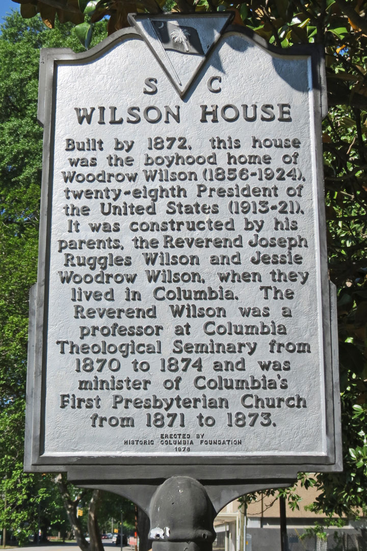
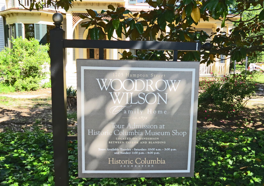
boyhood home of President Woodrow Wilson
In 1934, the federal courthouse at the corner of Main and Laurel streets was purchased by the city for use as City Hall. Built of granite from nearby Winnsboro, Columbia City Hall is listed on the National Register of Historic Places. Designed by Alfred Built Millet, President Ulysses S. Grant's Federal architect, the building was completed in 1876. Millet, best known for his design of the Executive Office Building in Washington, D.C., had originally designed the building with a clock tower. Large cost overruns probably caused it to be left out. Copies of Mullet's original drawings can be seen on the walls of City Hall alongside historic photos of Columbia's beginnings.
Reactivated Camp Jackson became Fort Jackson in 1940, giving the military
installation the permanence desired by city leaders at the time. The fort was
annexed into the city in the fall of 1968, with approval from the Pentagon. In
the early 1940s, shortly after the attacks on Pearl Harbor which began America's
involvement in World War II, Lt. Colonel Jimmy Doolittle and his group of
now-famous pilots began training for the Doolittle Raid over Tokyo at what is
now Columbia Metropolitan Airport. They trained in B-25 Mitchell bombers, the
same model as the plane that now rests at Columbia's Owens Field in the
Curtiss-Wright hangar. The area's population continued to grow during the
1950s, having experienced a 40 percent increase from 186,844 to 260,828, with
97,433 people residing within the city limits of Columbia.
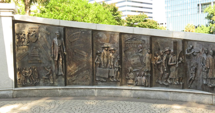
The 1940s saw the beginning of efforts to reverse Jim Crow laws and racial
discrimination in Columbia. In 1945, a federal judge ruled that the city's black
teachers were entitled to equal pay to that of their white counterparts.
However, in years following, the state attempted to strip many blacks of their
teaching credentials. Other issues in which the blacks of the city sought
equality concerned voting rights and segregation (particularly regarding public
schools). On August 21, 1962, eight downtown chain stores served blacks at their
lunch counters for the first time. The University of South Carolina admitted its
first black students in 1963; around the same time, many vestiges of segregation
began to disappear from the city, blacks attained membership on various
municipal boards and commissions, and a non-discriminatory hiring policy was
adopted by the city. These and other such signs of racial progression helped
earn the city the 1964 All-America City Award for the second time (the first
being in 1951) and a 1965 article in Newsweek magazine lauded Columbia as a city
that had "liberated itself from the plague of doctrinal apartheid."
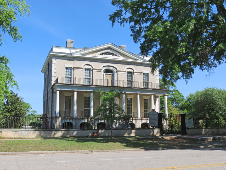
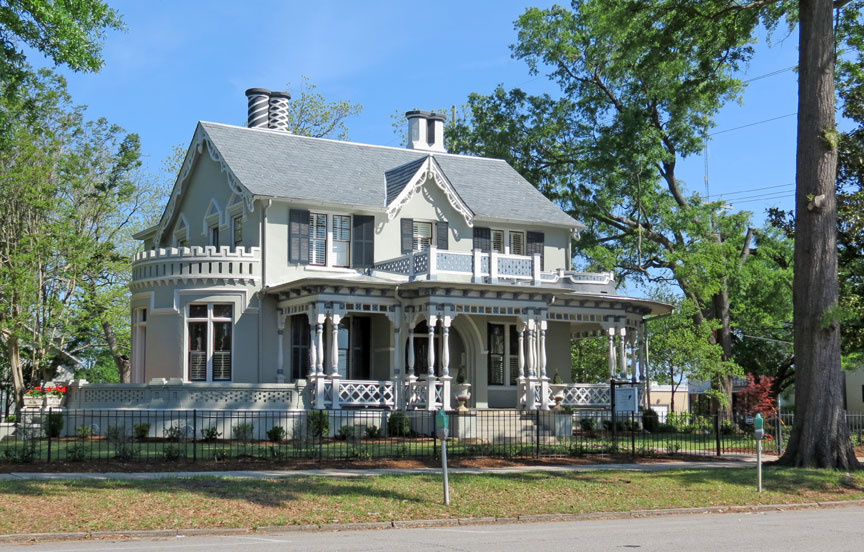
Historic preservation has played a significant part in shaping Columbia into the
city that it is today. The historic Robert Mills House was restored in 1967,
which inspired the renovation and restoration of other historic structures such
as the Hampton-Preston House and homes associated with President Woodrow Wilson,
Maxcy Gregg, Mary Boykin Chesnut, and noted free black Celia Mann. In the early
1970s, the University of South Carolina initiated the refurbishment of its
"Horseshoe". Several area museums also benefited from the increased historical
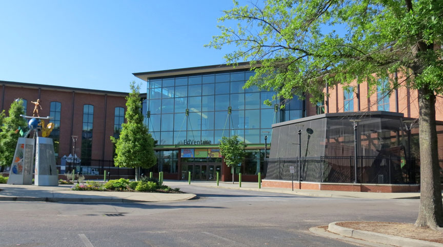
interest of that time, among them the Fort Jackson Museum, the McKissick Museum
on the campus of the University of South Carolina, and most notably the South
Carolina State Museum, which opened in 1988.
Mayor Kirkman Finlay, Jr., was the driving force behind the refurbishment of
Seaboard Park, now known as Finlay Park, in the historic Congaree Vista
district, as well as the compilation of the $60 million Palmetto Center package,
which gave Columbia an office tower, parking garage, and the Columbia Marriott,
which opened in 1983. The year 1980 saw the Columbia metropolitan population
reach 410,088 and in 1990 this figure had hit approximately 470,000.
The 1990s and early 2000s saw revitalization in the downtown area. The Congaree
Vista district along Gervais Street, once known as a warehouse district, became
a thriving district of art galleries, shops, and restaurants. The Colonial Life
Arena (formerly known as the Carolina Center) opened in 2002, and brought
several big-named concerts and shows to Columbia. The Columbia Metropolitan
Convention Center opened in 2004, and a new convention center hotel opened in
September 2007. A public-private City Center Partnership has been formed to
implement the downtown revitalization and boost downtown growth. Heritage
buildings are being renovated and converted into combined retail and residential
space. There is also work on renovating the old Nickelodeon Theatre by adding
screens and enlarging the seating capacity, which will allow the theater to show
more educational films. Heritage work is also being done on the old W.T. Grant
store, which has a unique facade and brickwork. There are plans to convert the
old Tapp's department store into an art studio.
Text from Wikipedia
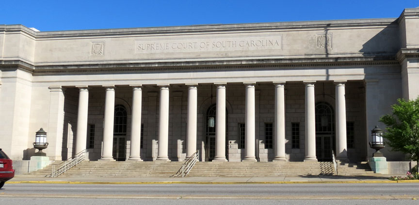
Supreme Court of South Carolina
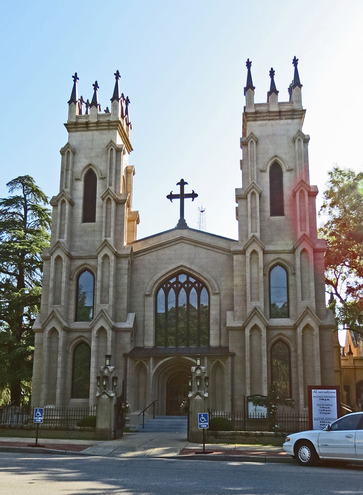
Episcopal Church
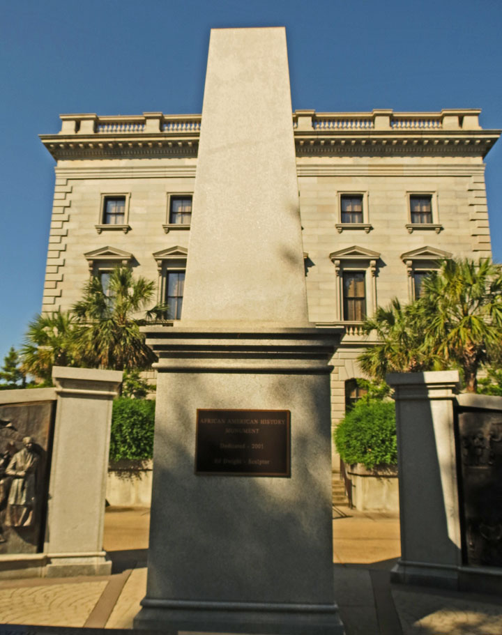
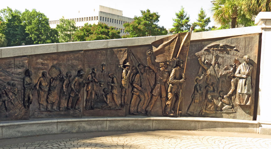
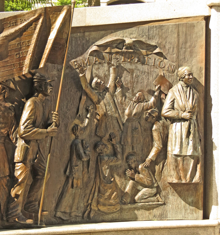
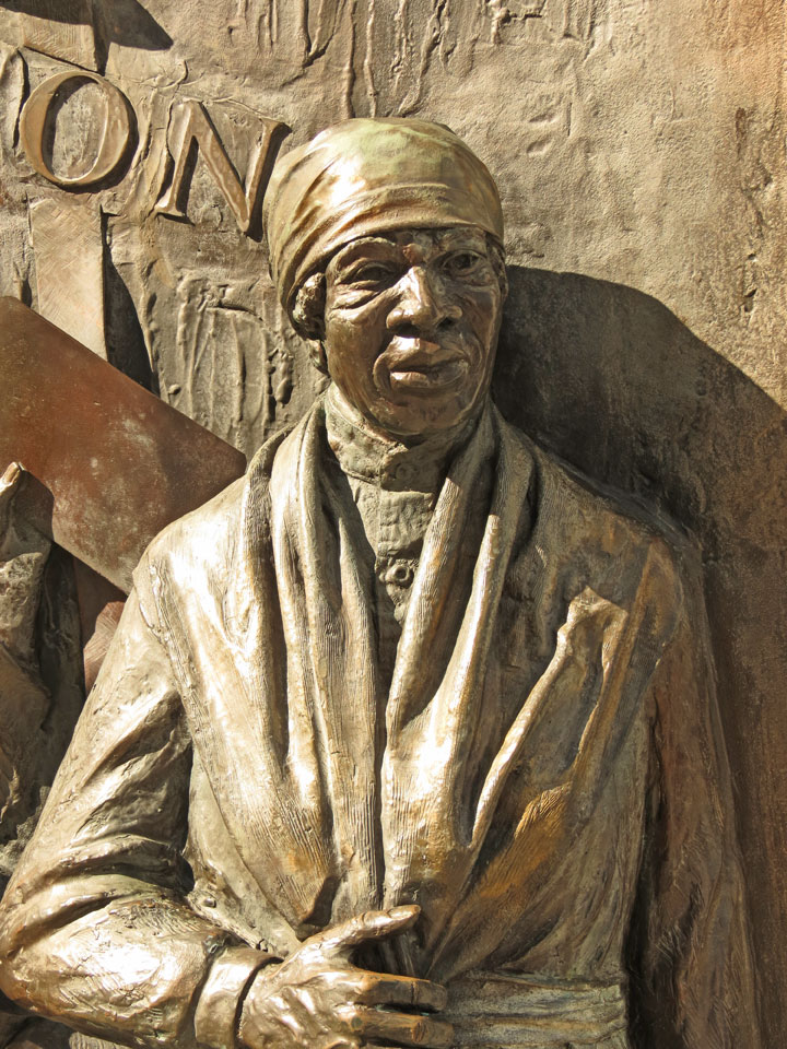
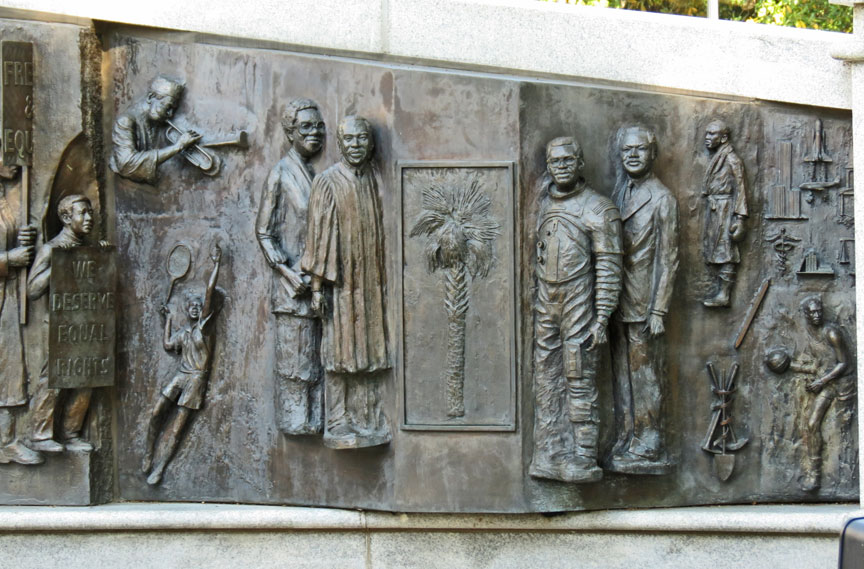
African American History
Clinton Clemson Columbia Covered Bridges Cowpens Gaffney Greenville Greer Strom Thurmond Walhalla