


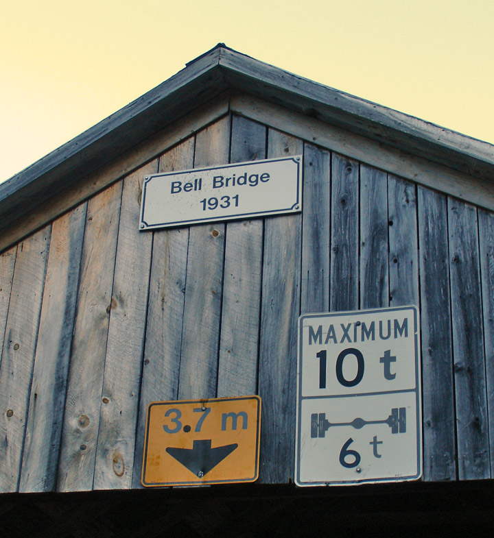
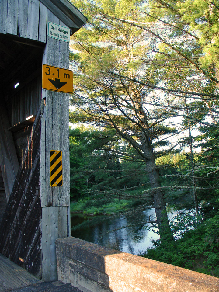
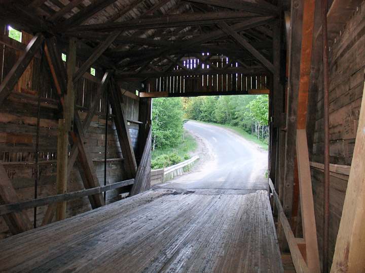
Bell Covered Bridge
South Oromocto River # 3
Kings County
55-06-28
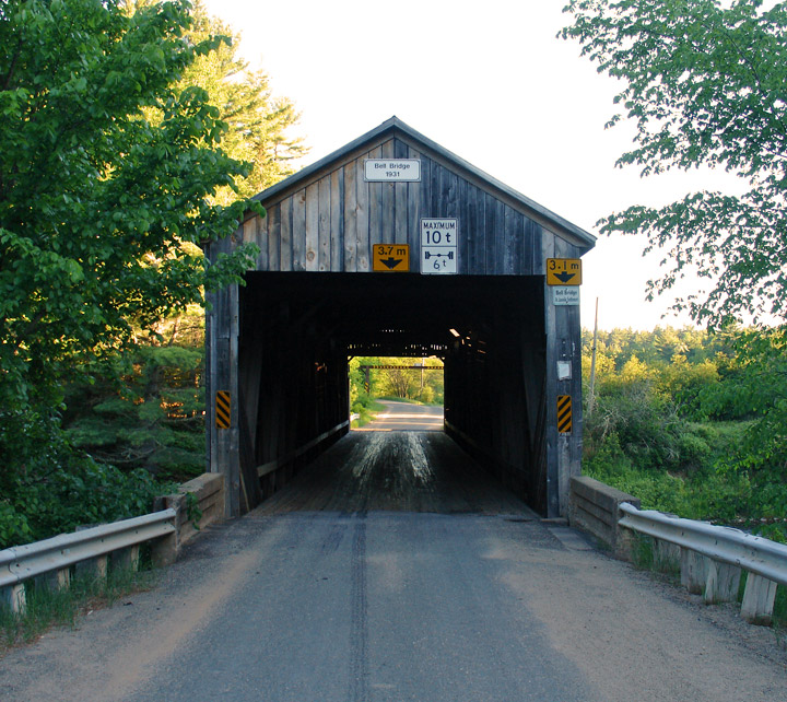
Bell Covered Bridge
GPS
N 45 deg 32.046 min
W 66 deg 36.554 min
Map of Latitude: 45.534100
Longitude: -66.609230
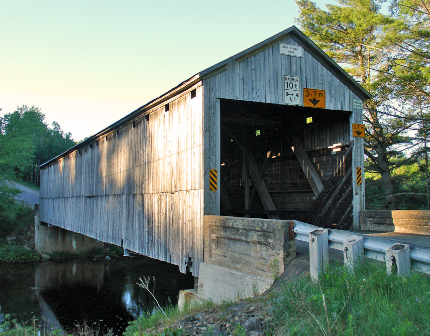
Span: 123' 4" Length: 126' 4"
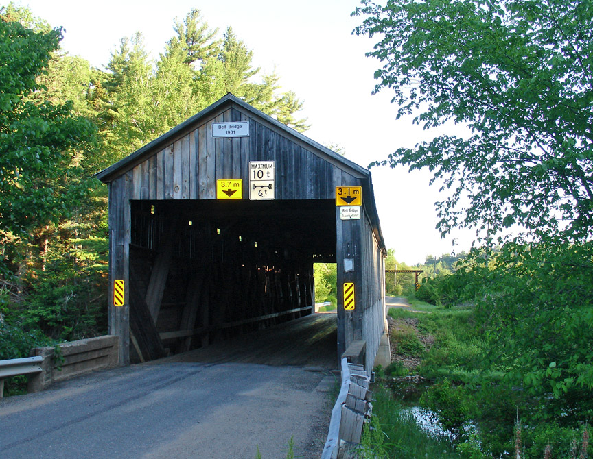
built in 1931
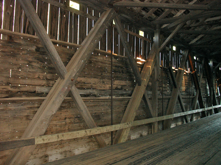
Howe Truss
Location:
East of Sussex Corner.
3.1 miles (5 km) east of Sussex Corner on Adair Rd. off Waterford Rd.