


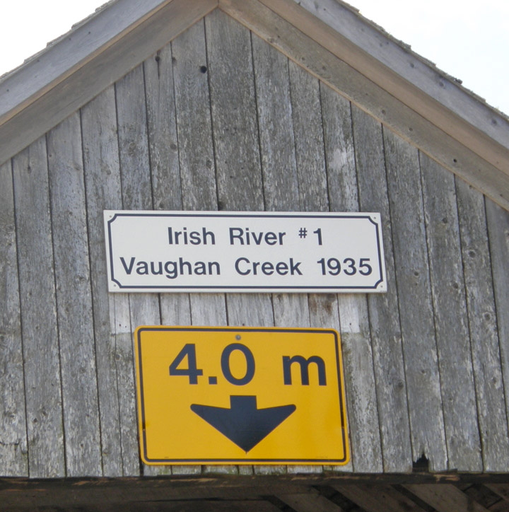
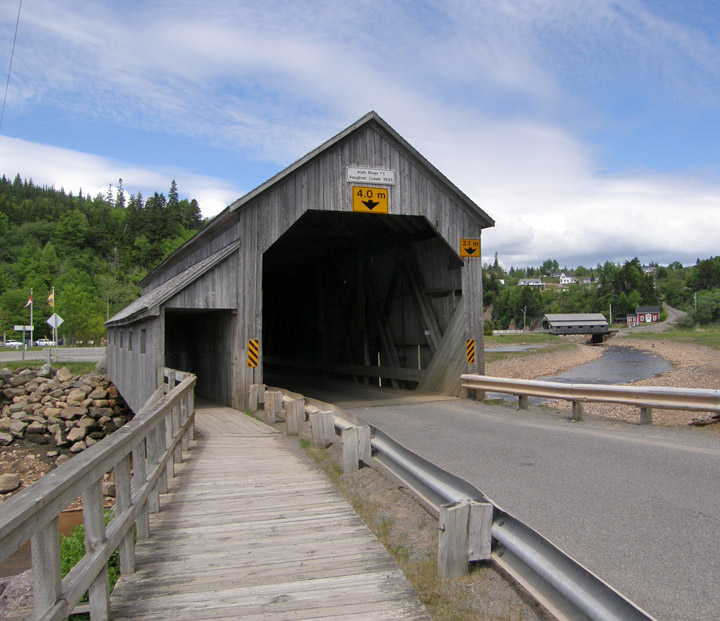
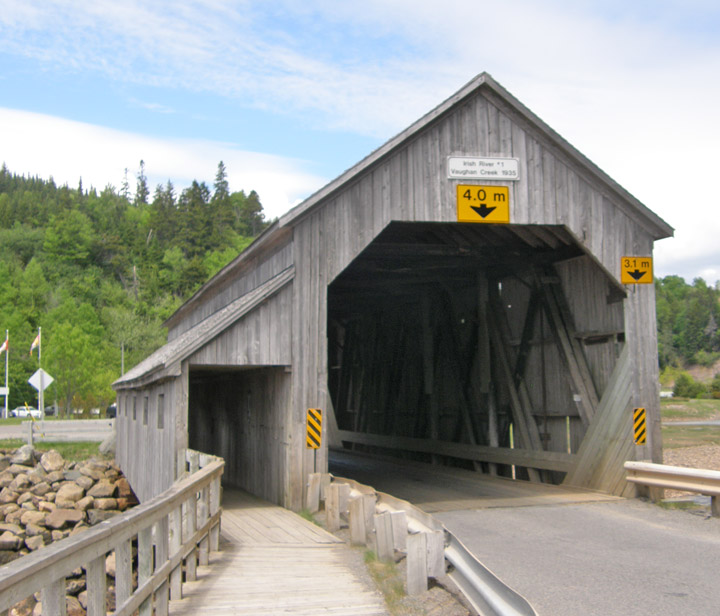
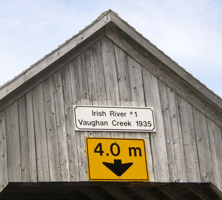
Irish River #1 Covered Bridge
Vaughn Creek # 1
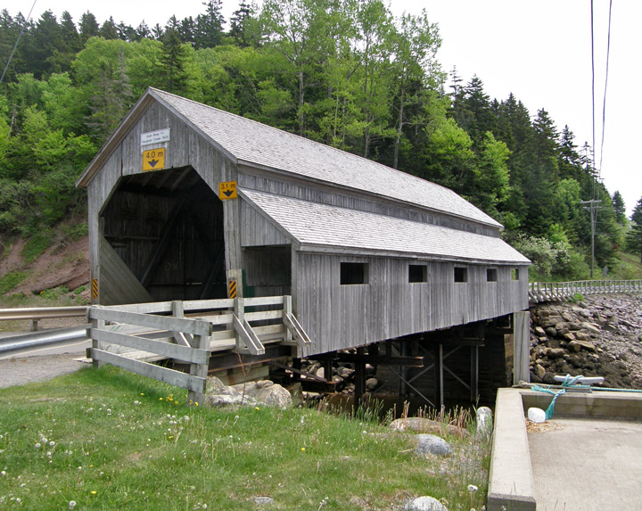
Irish River #1 Covered Bridge
GPS
N 45 deg 21.581 min
W 65 deg 31.980 min
Map of Latitude: 45.359700
Longitude: -65.533000
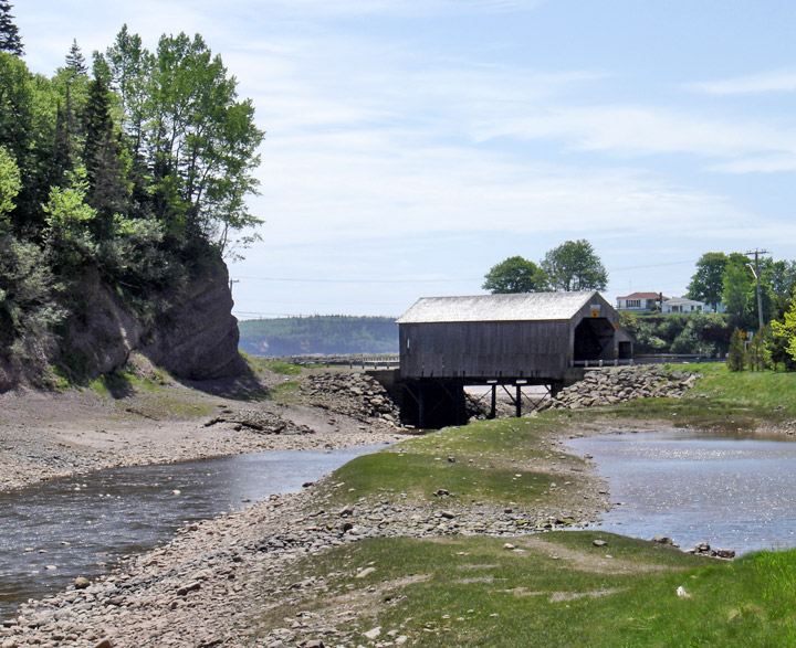
Span: 71' 6" Length: 78' 6"
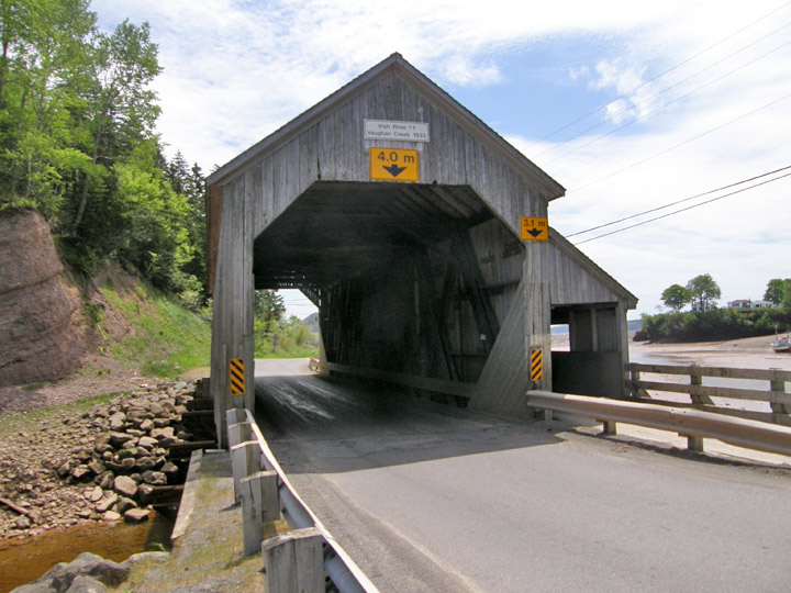
built in 1935
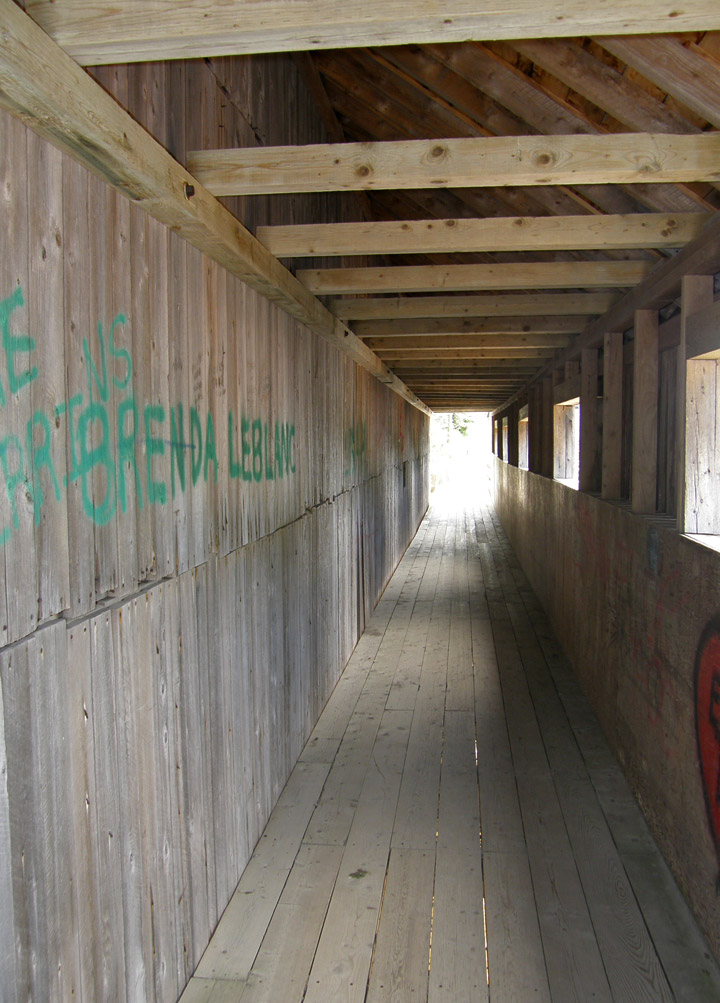
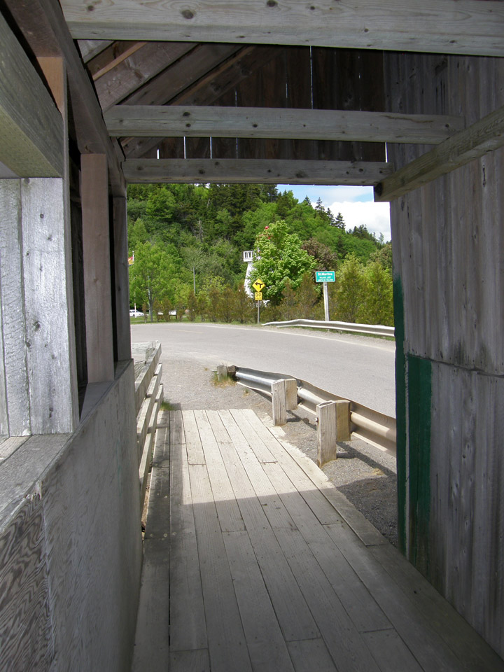
walkway
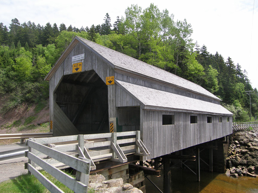
Howe Truss
Irish River # 2 Covered Bridge on the right
Photos of Irish River #2 Covered Bridge
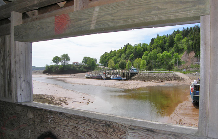
Saint Martins harbor at low tide
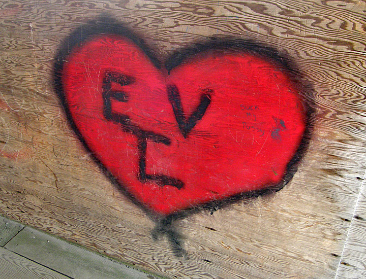
walkway graffiti
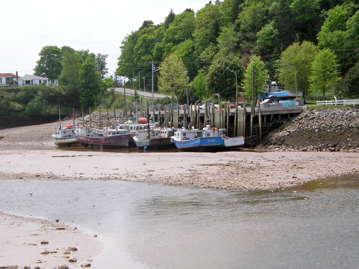
low tide at the dock
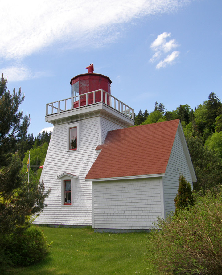
Saint Martins lighthouse
the Tourist Bureau
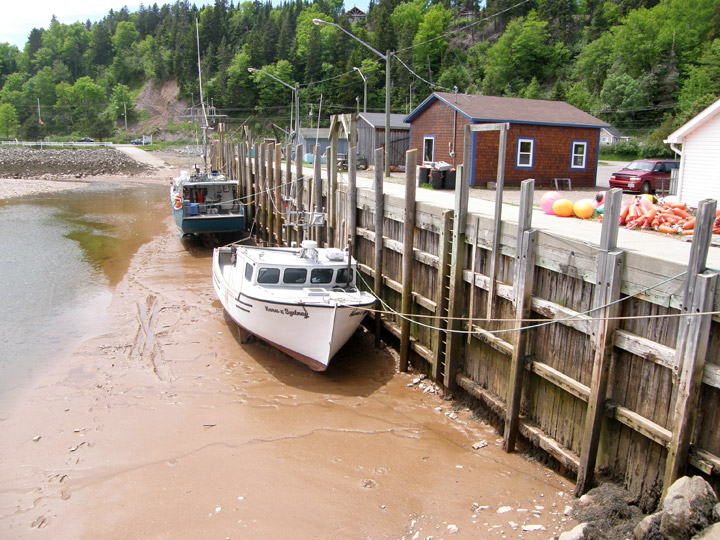
low tide