


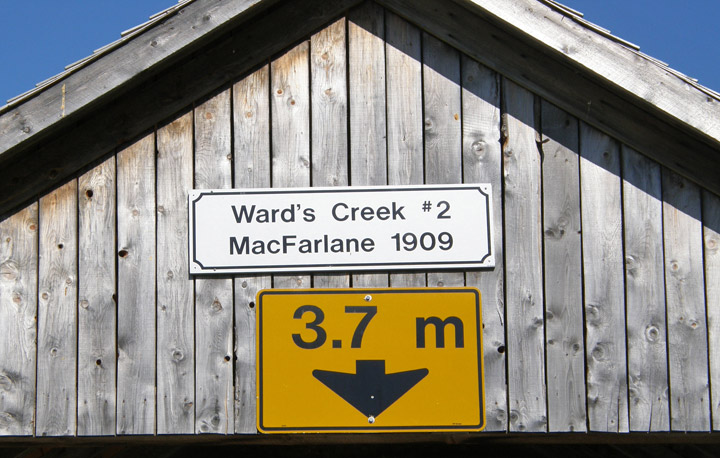
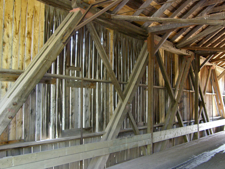
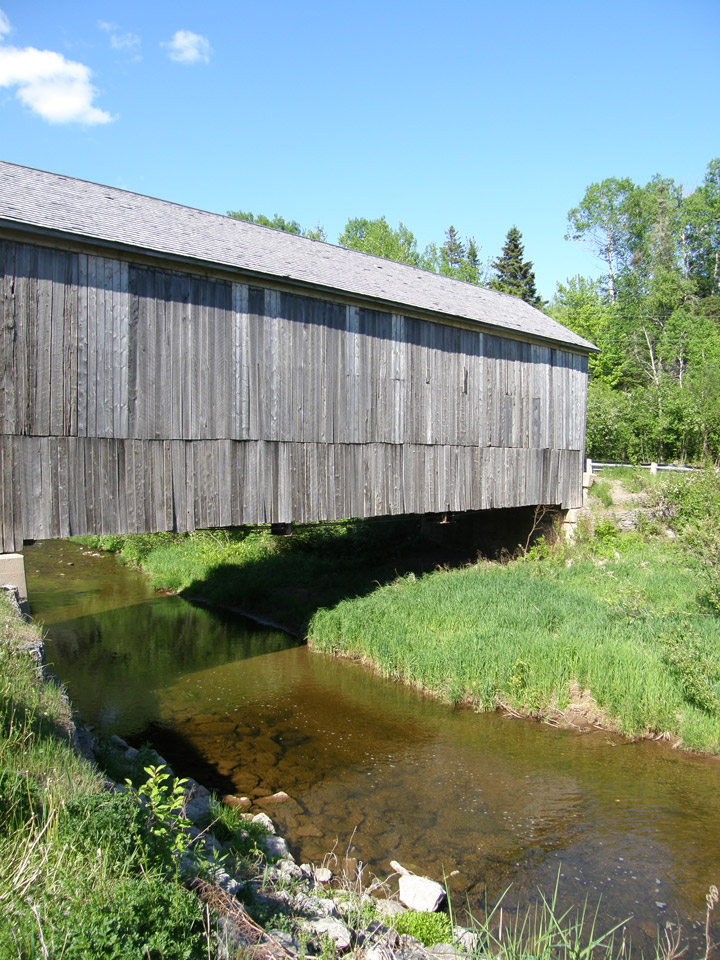
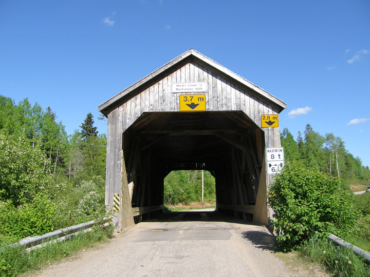
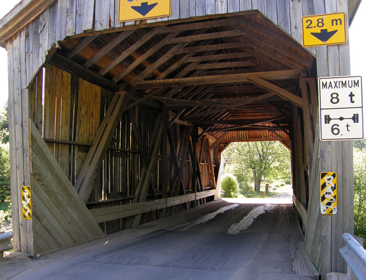
MacFarlane Covered Bridge
Wards Creek # 2
Kings County
55-06-13
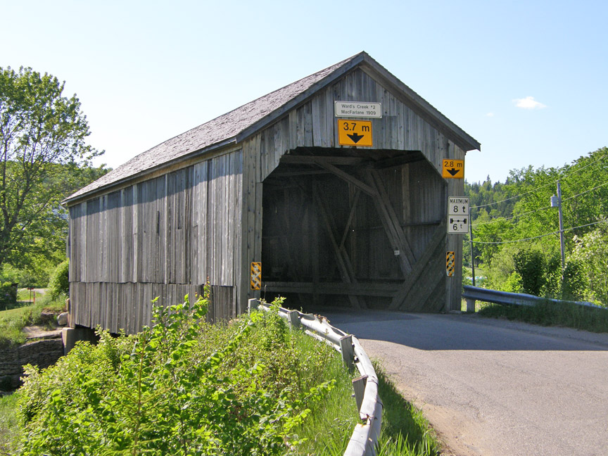
MacFarlane Covered Bridge
GPS
N 45 deg 39.299 min
W 65 deg 30.715 min
Map of Latitude: 45.654983
Longitude: -65.511917
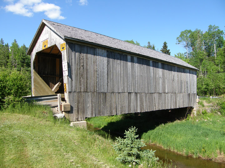
Span: 57' Length: 63' 6"
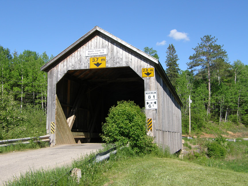
built in 1909
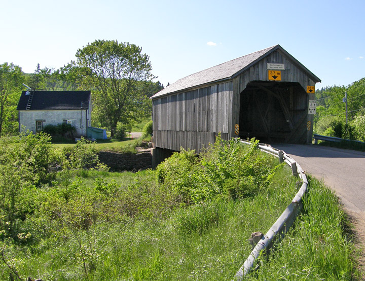
Location:n:
Across Ward's Creek south of Sussex Corner.
4.4 miles (7.1 km) southwest of jct NB121 right on NB111, then 1.1 miles (1.8 km) right on Wards Creek Rd.