


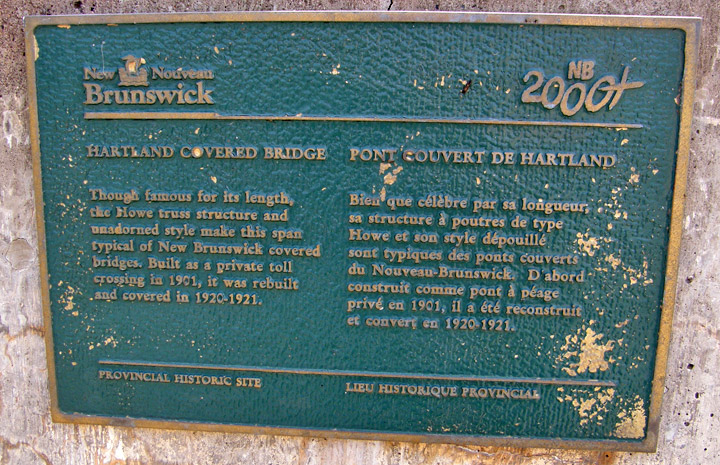
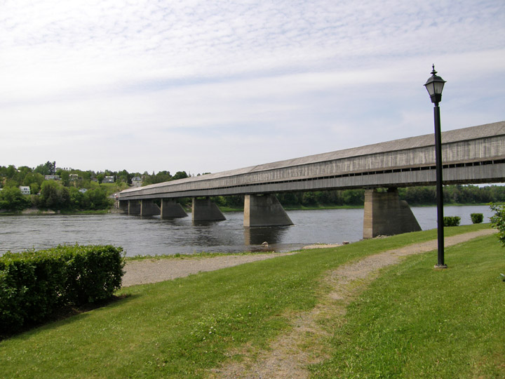
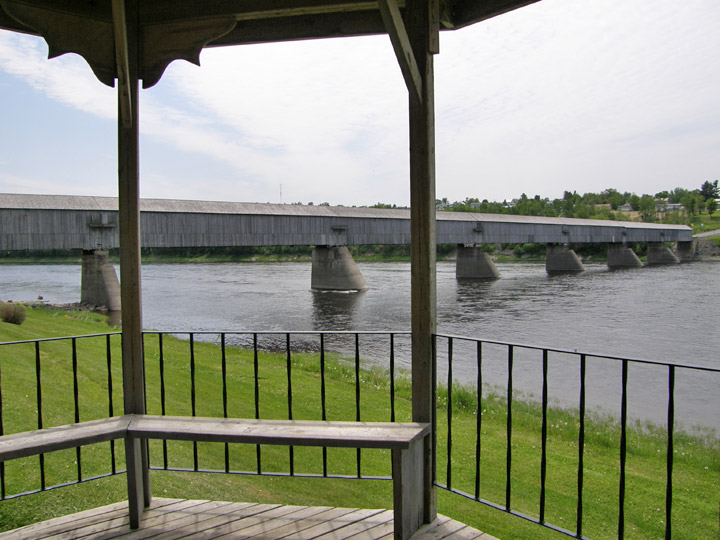
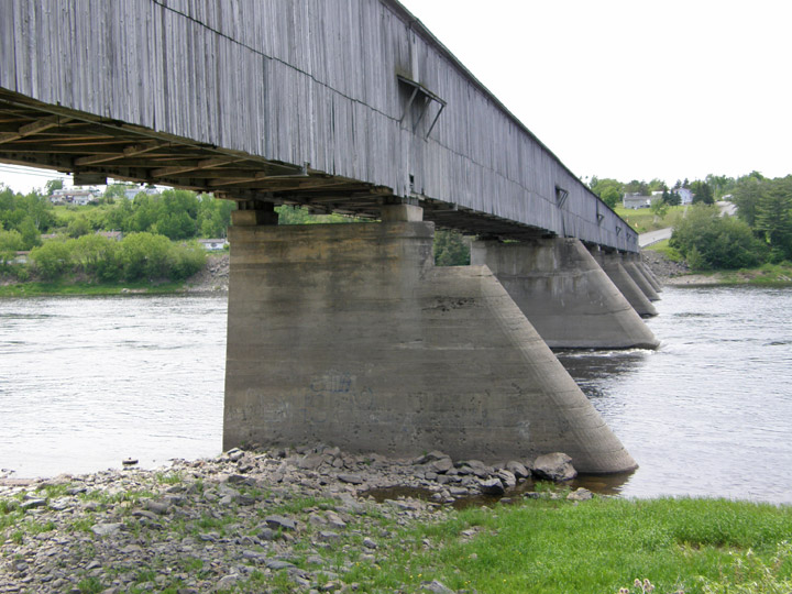
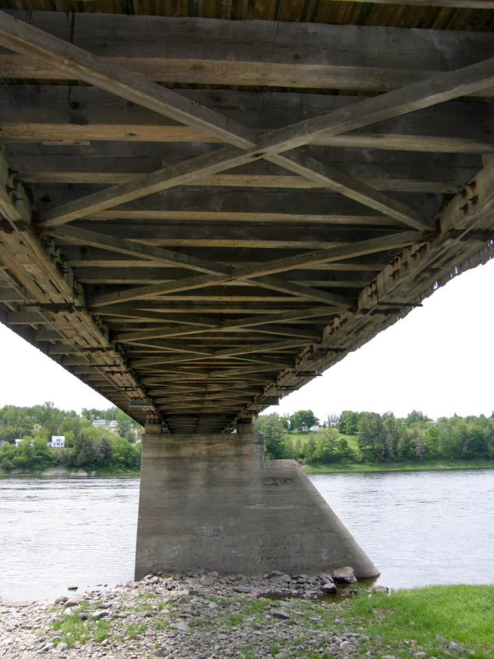
Hartland Covered Bridge
Carleton County
55-02-07
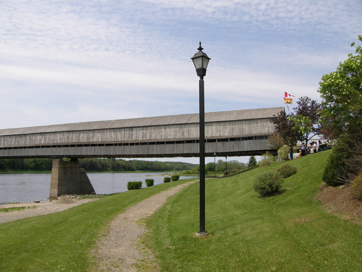
Hartland Covered Bridge
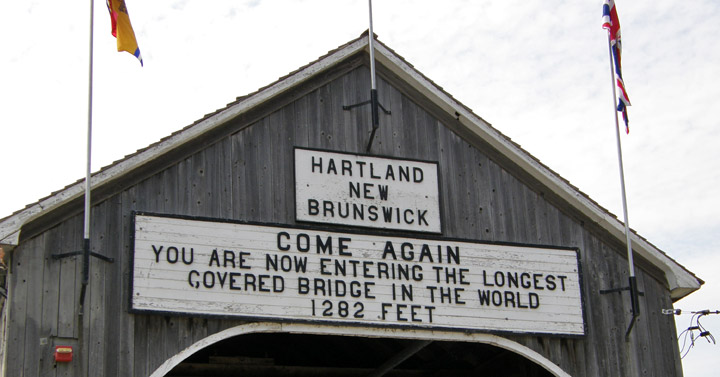
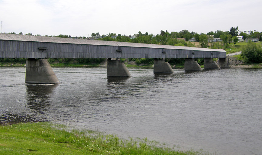
Length: 1282'
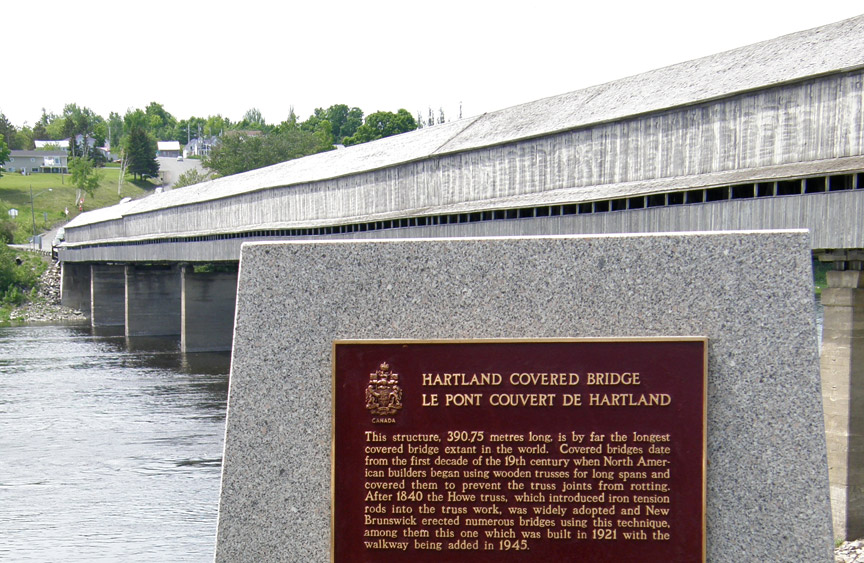
built in 1898/1901/1921
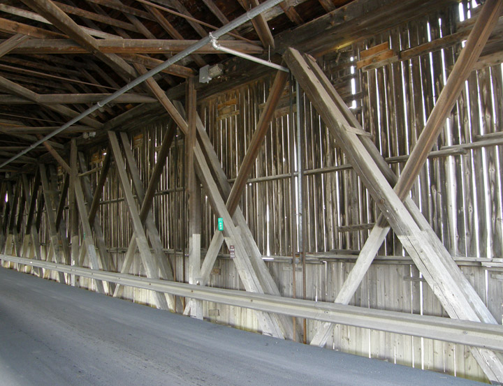
Howe Truss
was toll bridge until 1907
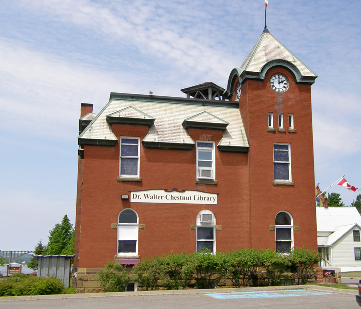
Library in Hartland
Location:
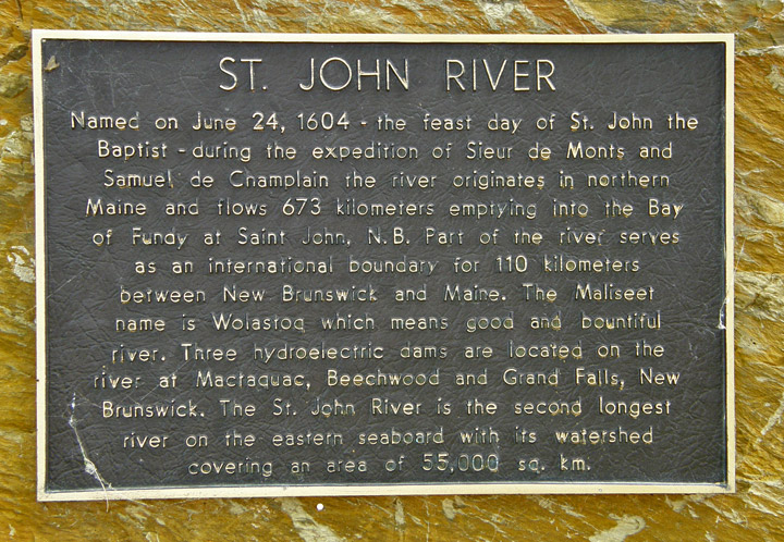
In Hartland over the St. John River
0.5 (0.8 km) south of jct TCH2 on NB103, then 0.2 left on Hartland Bridge Hill Rd. (old TCH2).