


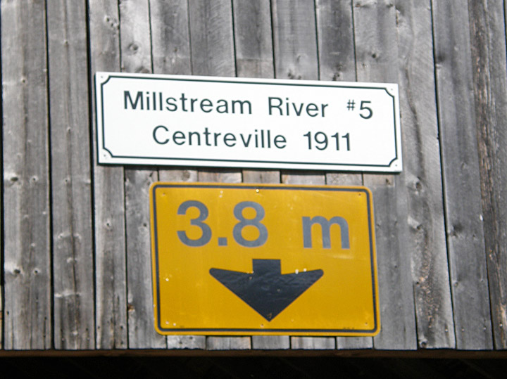
Centerville Covered Bridge
Millstream # 5
Kings County
55-06-02
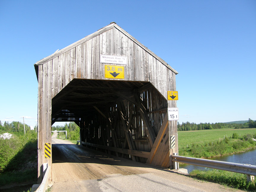
Centerville Covered Bridge
GPS
N 45 deg 48.487 min
W 65 deg 35.682 min
Map of Latitude: 45.808117
Longitude: -65.594700
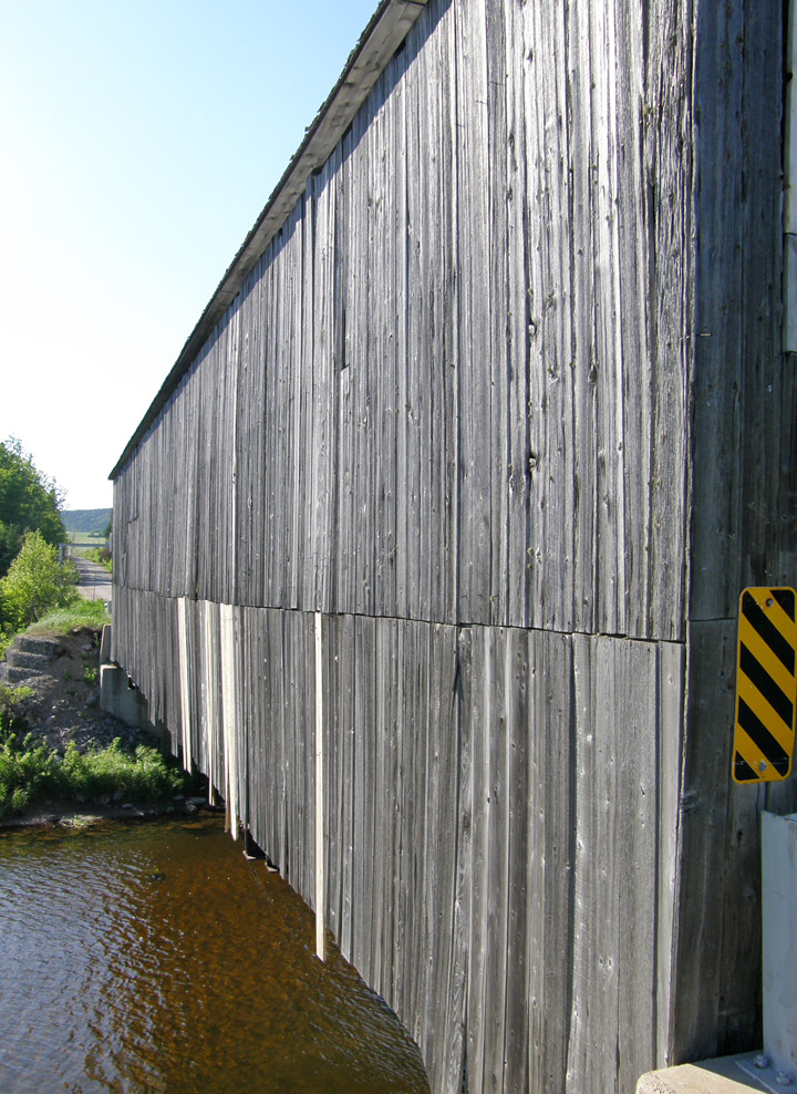
Span: 95' Length: 100' 2"
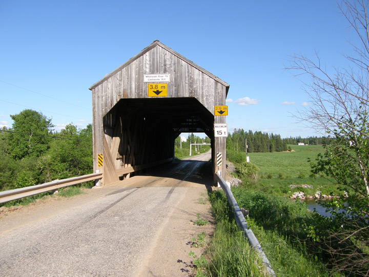
built in 1911
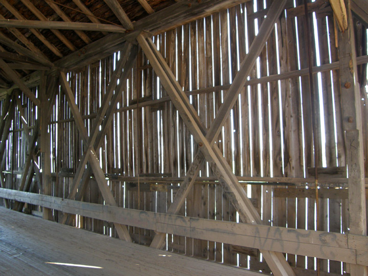
Howe Truss
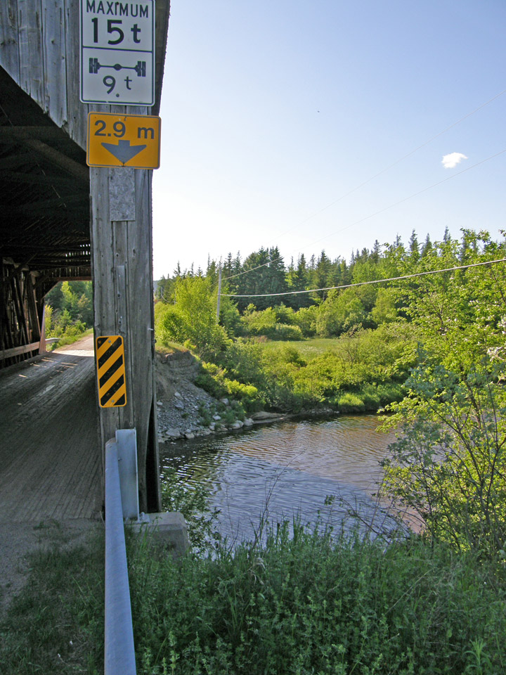
Location:
Across Millstream River north of Berwick.
2.0 miles (3.1) N. of jct TCH2 on NB880, then 0.2 miles (0.3 km) left on Pleasant Ridge Branch Rd.