


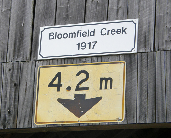
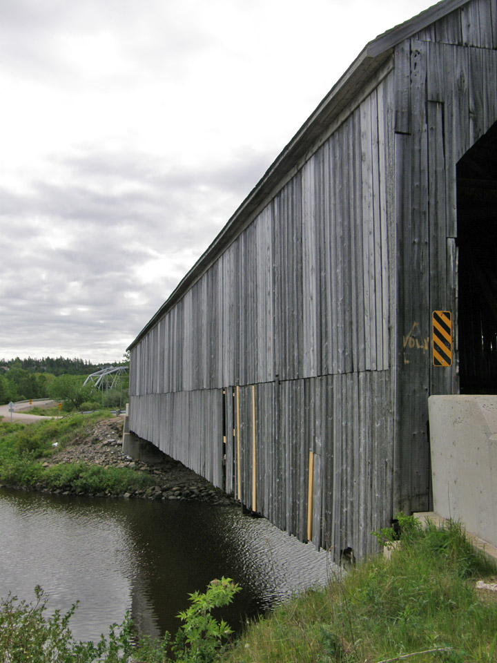
Bloomfield Creek Covered Bridge
Bloomfield
Kings County
55-06-01
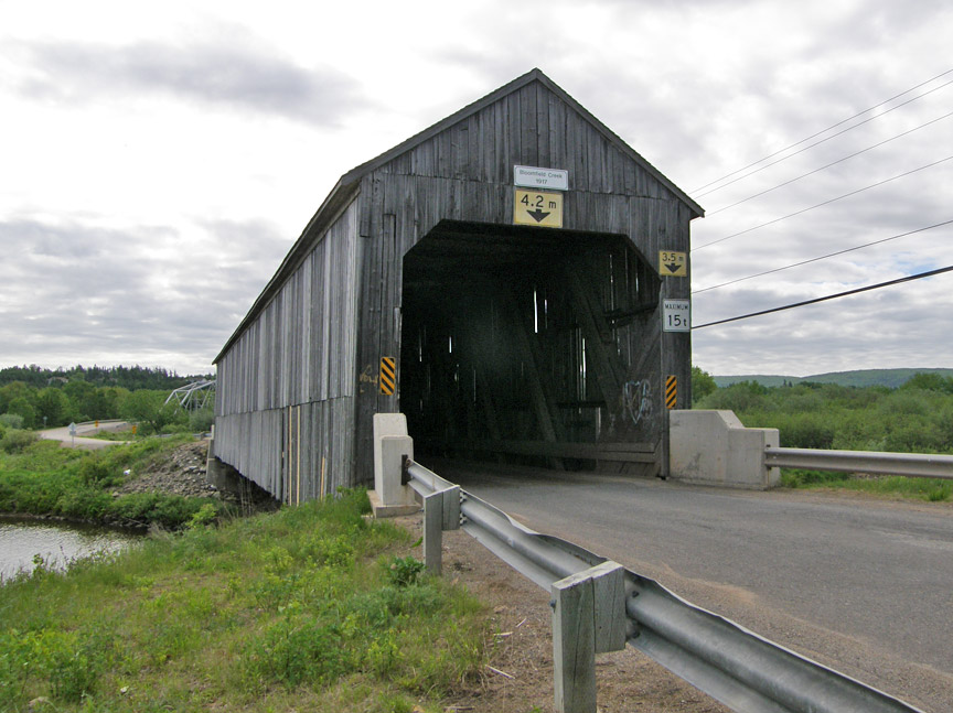
Bloomfield Creek Covered Bridge
GPS
N 45 deg 34.866 min
W 65 deg 45.715 min
Map of Latitude: 45.581100
Longitude: -65.761920
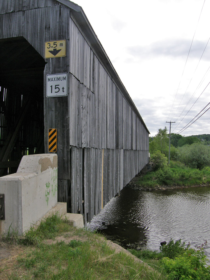
Span: 181' Length: 187' 6"
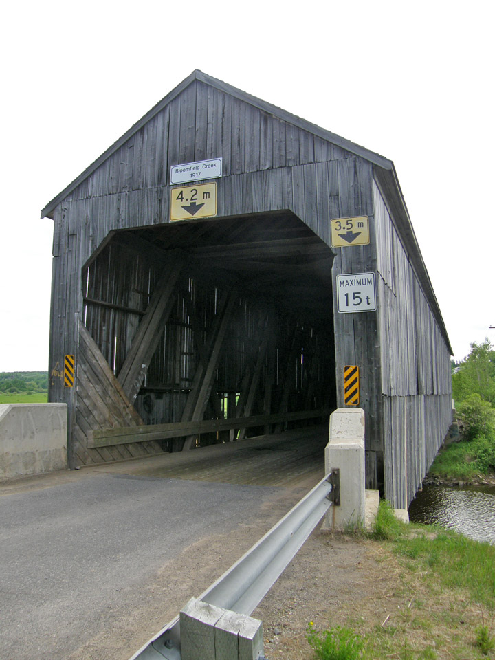
built in 1917
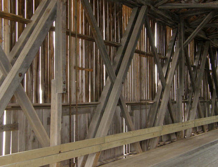
Howe Truss
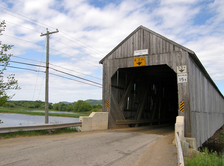
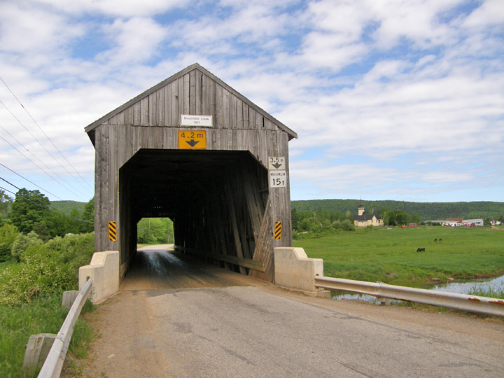
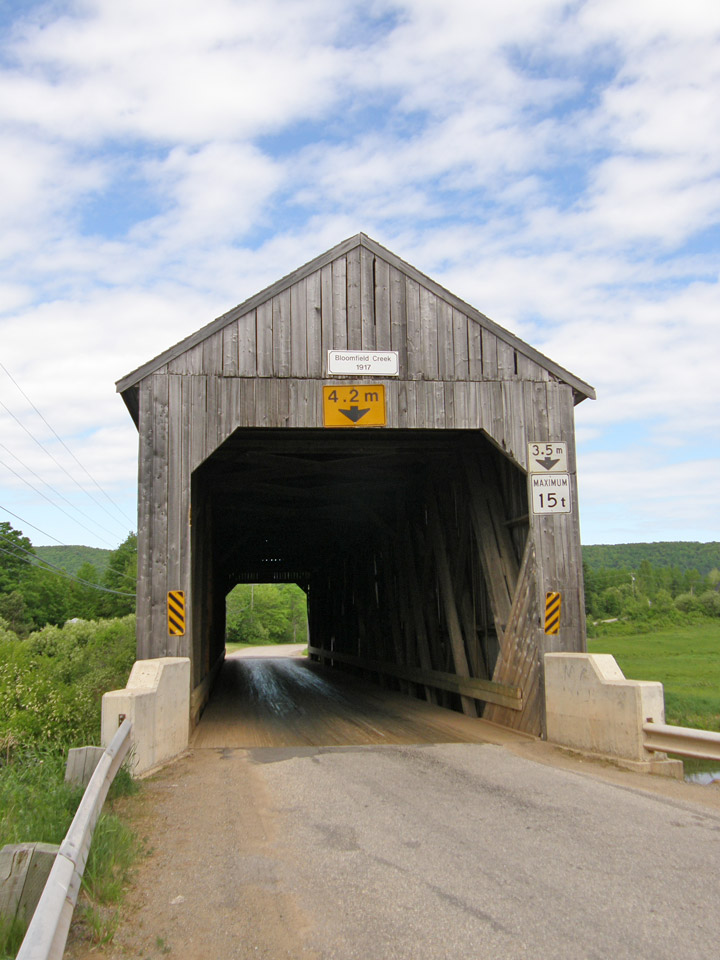
Location:
Across Bloomfield Creek southwest of Norton.
5.0 miles (8.0 km) SW of jct NB865 on NB1, then 0.4 miles (0.6 km) left on Bloomfield Station Rd.