


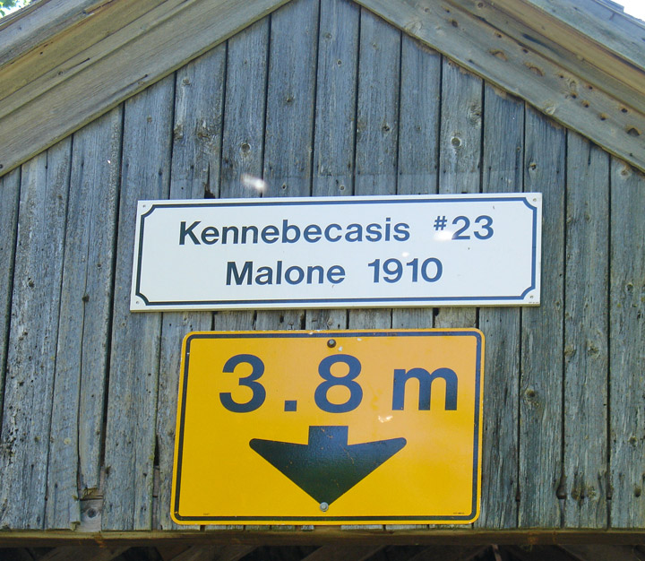
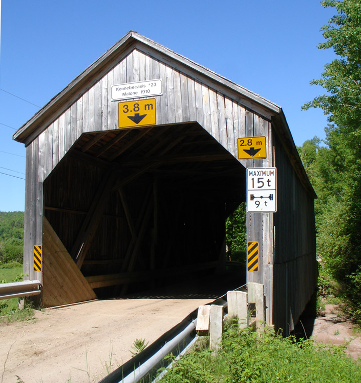
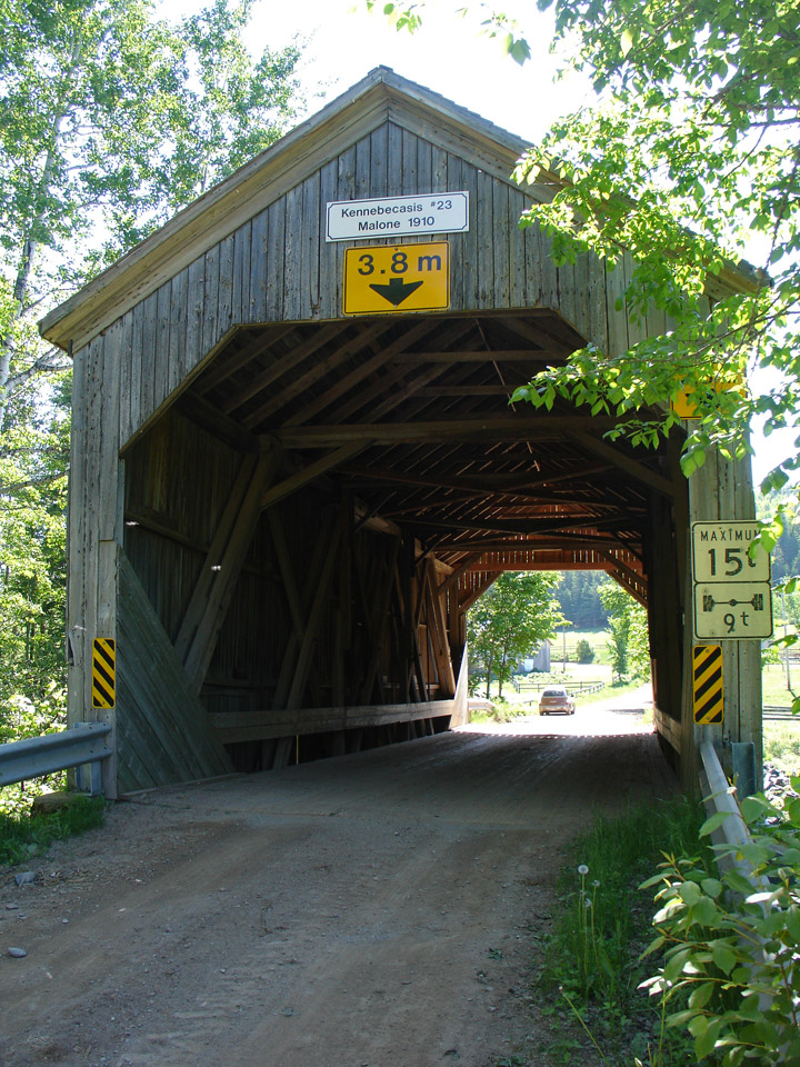
Malone Covered Bridge
Kennebecasis # 23
Kings County
55-06-11
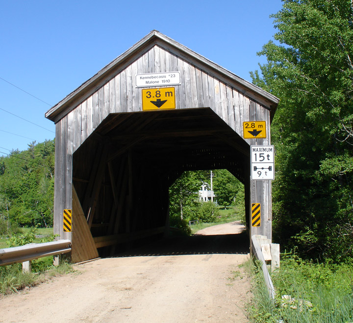
Malone Covered Bridge
GPS
N 45 deg 45.471 min
W 65 deg 12.135 min
Map of Latitude: 45.757850
Longitude: -65.202250
Span: 58' Length: 64'
built in 1910
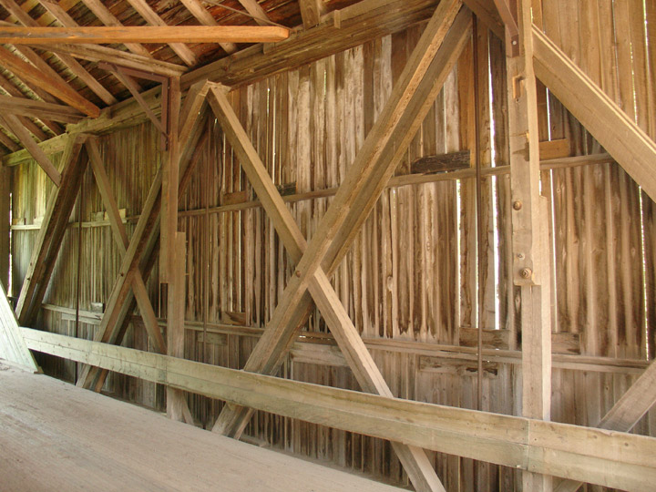
Howe Truss
Location:
Across Kennebecasis River southwest of Goshen.
4.5 miles (7.2 km) S. of jct TCH2 on NB114, then 4.6 miles (7.3 km) left on Goshen Rd.