


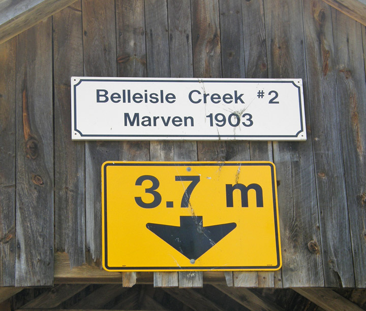
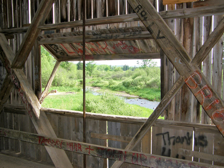
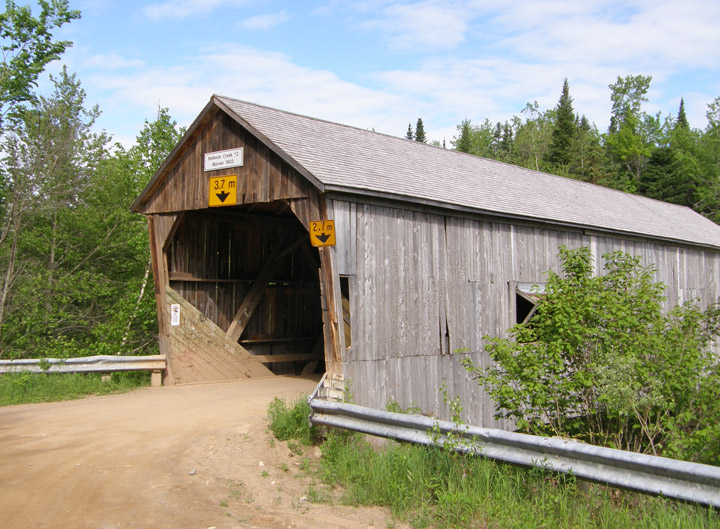
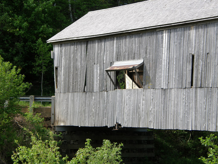
Marven Covered Bridge
Belleisle Creek # 2
Kings County
55-06-12
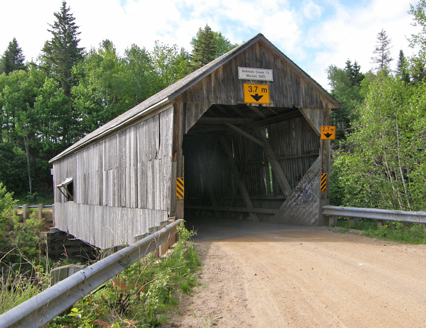
Marven Covered Bridge
GPS
N 45 deg 41.349 min
W 65 deg 46.308 min
Map of Latitude: 45.689150
Longitude: -65.771800
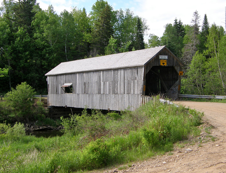
Span: 71' Length: 79'
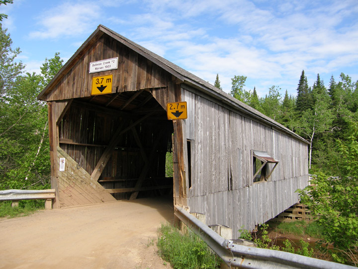
built in 1903
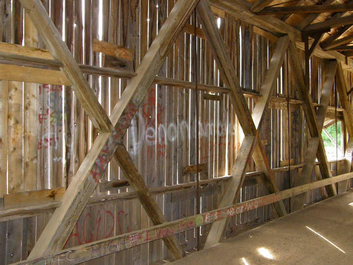
Howe Truss
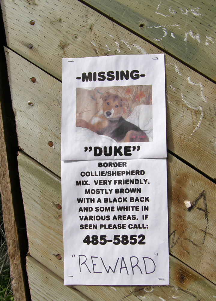
have you seen Duke?
Location:
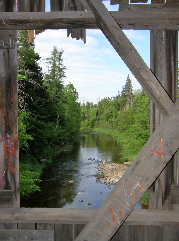
Across Belleisle Creek.
2.0 miles (3.1 km) southwest of jct NB875 on NB870, then 0.8 miles (1.3 km) left on Smith Rd.