


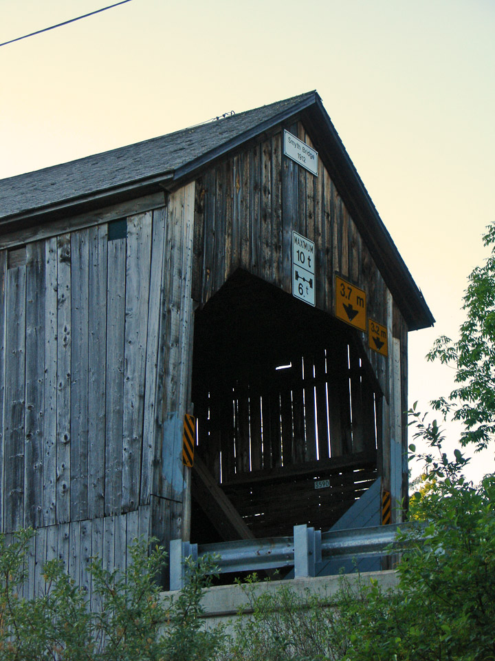
Mill Settlement Covered Bridge
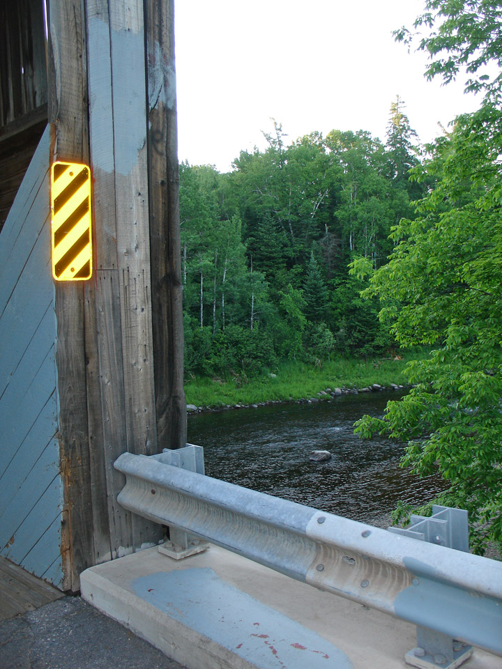
South Oromocto River # 2
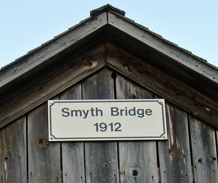
Smyth
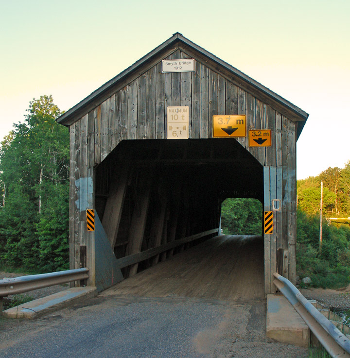
Mill Settlement Covered Bridge
GPS
N 45 deg 34.379 min
W 66 deg 34.813 min
Map of Latitude: 45.572983
Longitude: -66.580217
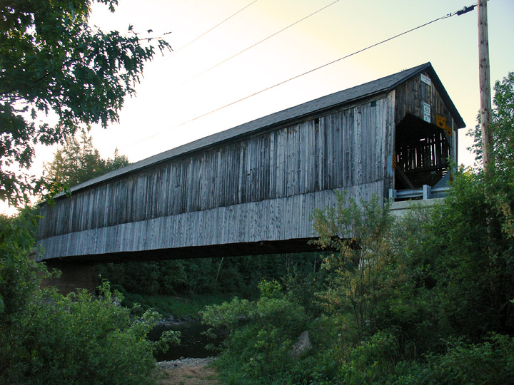
Span: 136' Length: 139'
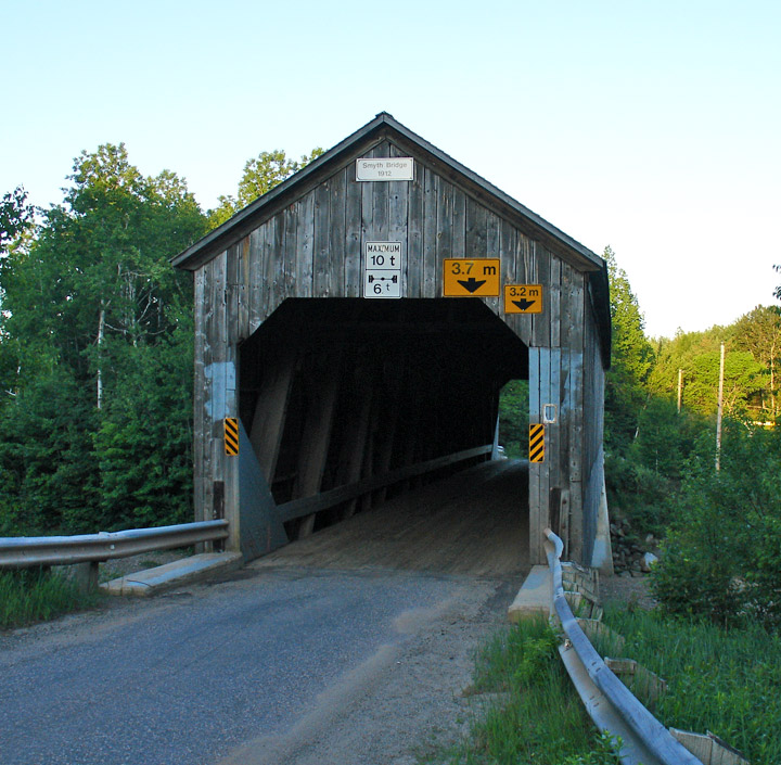
built in 1912
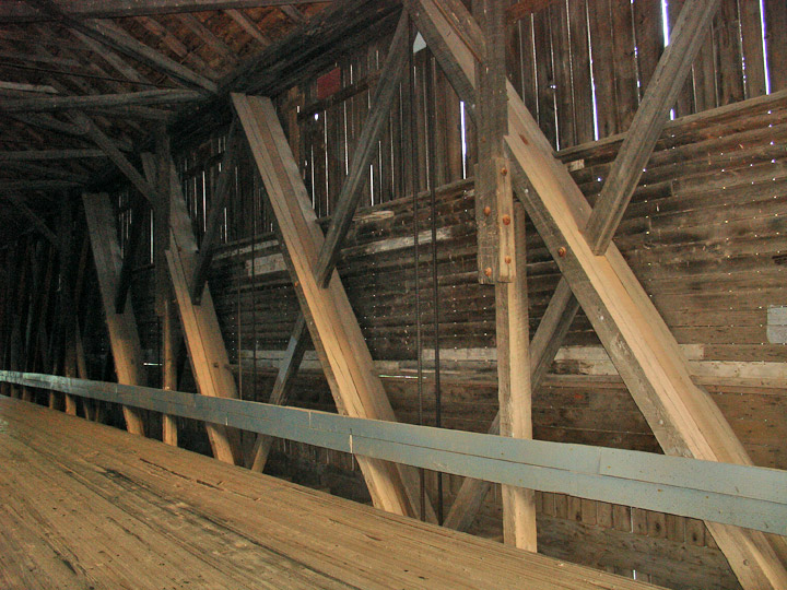
Howe Truss
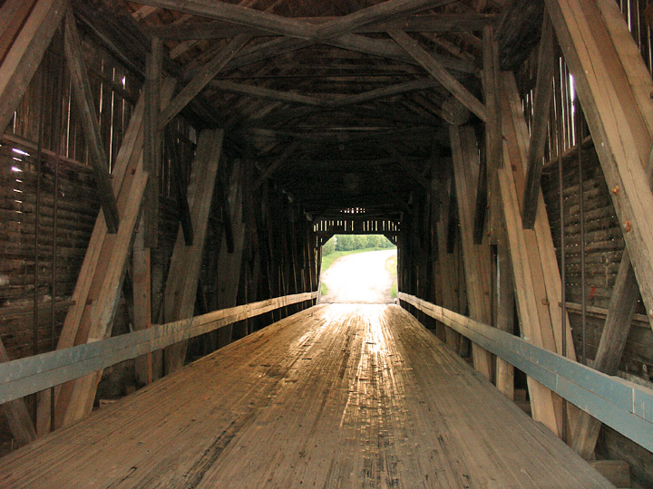
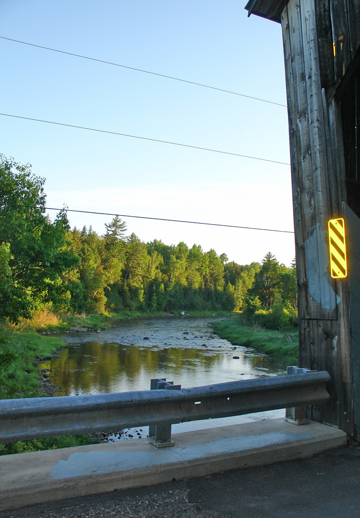
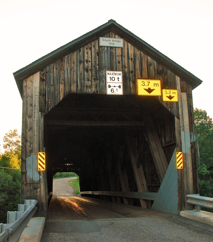
in the early morning light