


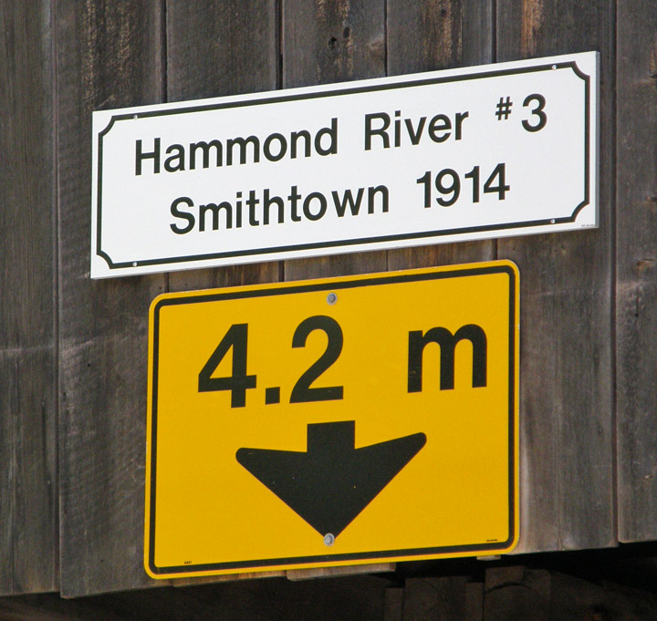
Smithtown Covered Bridge
Hammond River # 3
Kings County
55-06-24
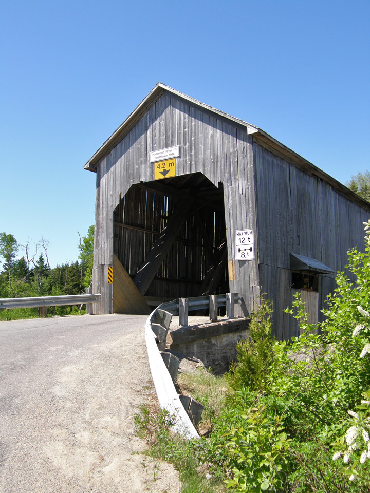
Smithtown Covered Bridge
GPS
N 45 deg 27.859 min
W 65 deg 48.241 min
Map of Latitude: 45.464317
Longitude: -65.804017
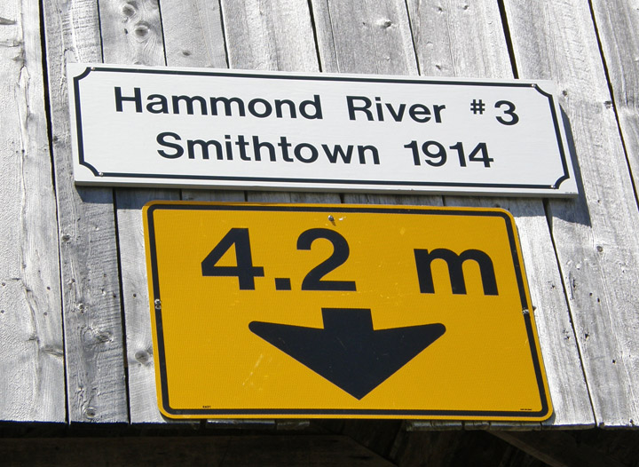
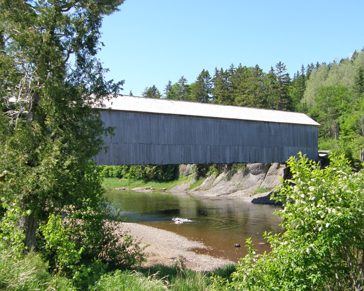
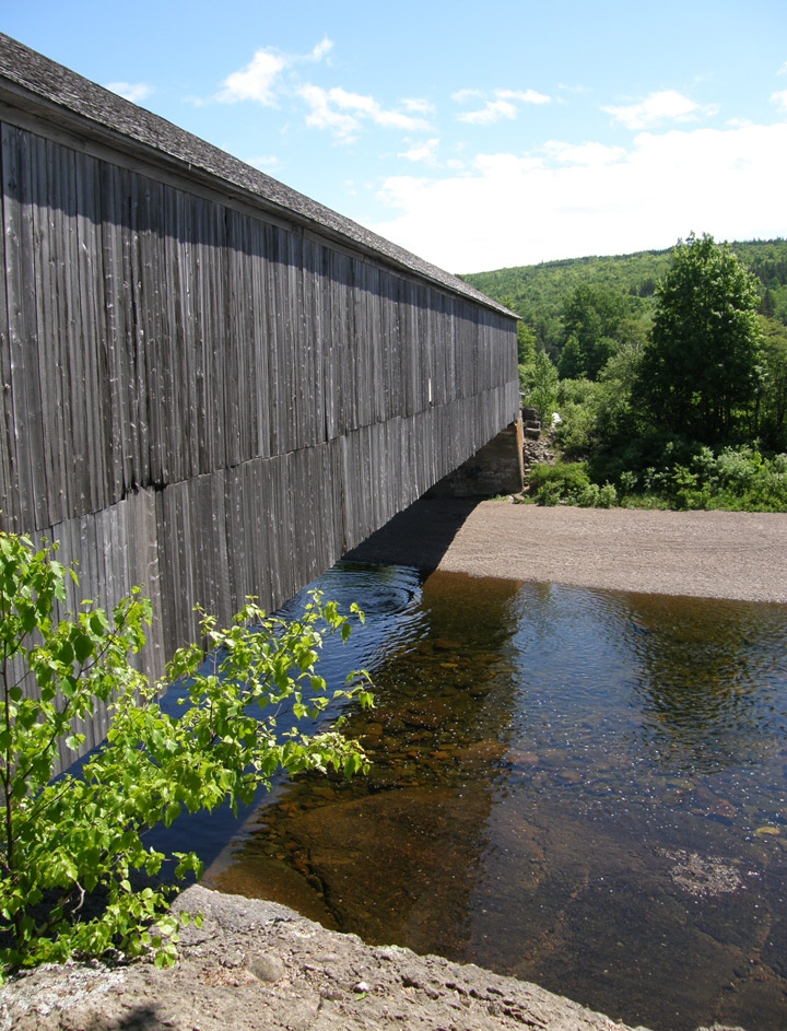
Span: 182' 9" Length: 186' 9"
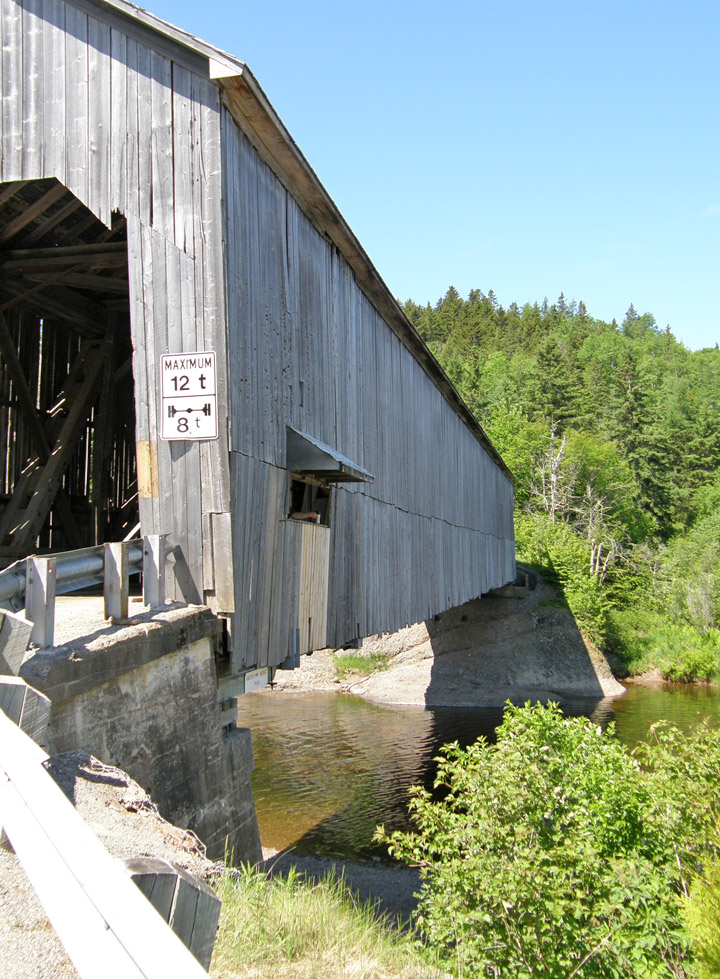
built in 1914
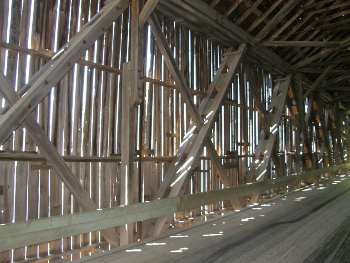
Howe Truss
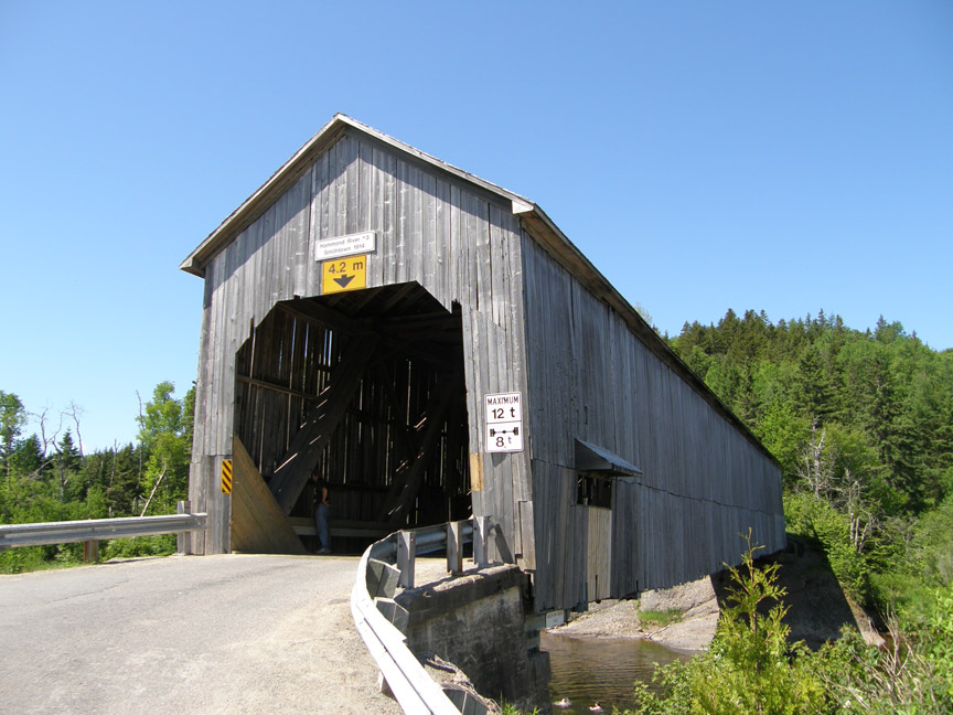
Location:
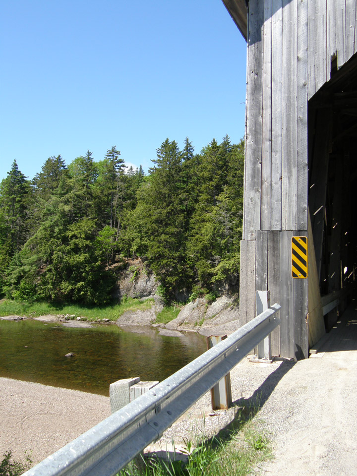
Across Hammond River west. of Upham.
1.4 miles (2.3 km) E. of jct NB1 on NB111, then 11.0 miles (18 km) left on NB860 and 0.3 miles (0.5 km) right on Brawlesy Rd.