


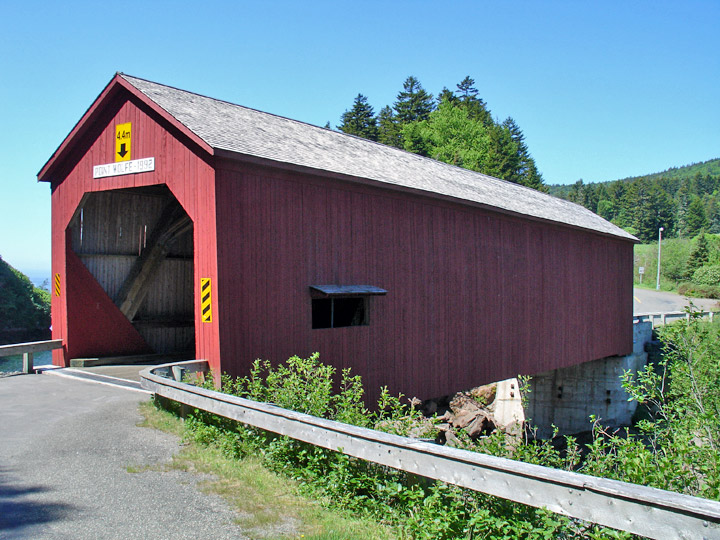
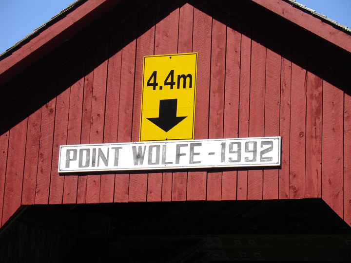
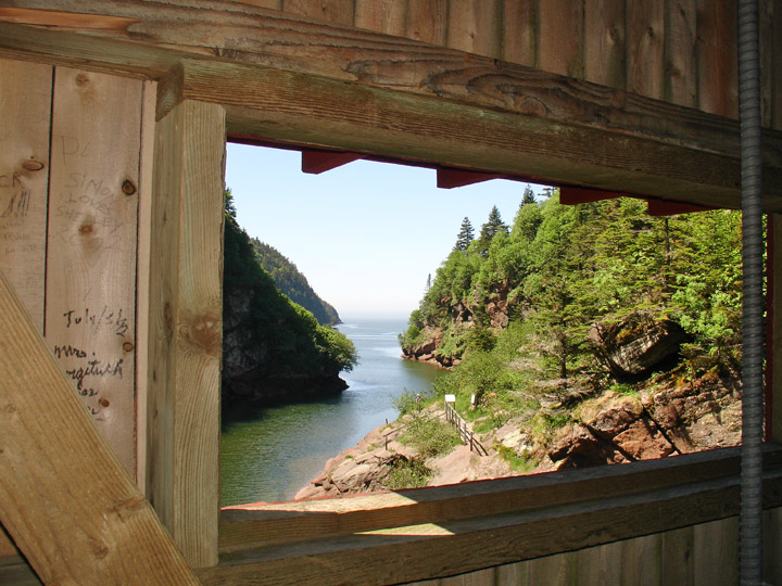
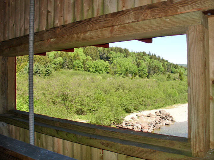
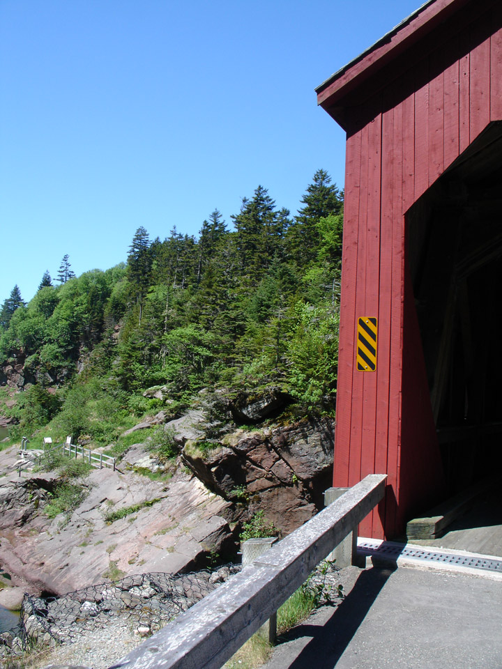
Pointe Wolfe Covered Bridge
Point Wolfe
Albert County
55-01-05
Pointe Wolfe Covered Bridge
GPS
N 45 deg 33.049 min
W 65 deg 00.821 min
Map of Latitude: 45.550817
Longitude: -65.013683
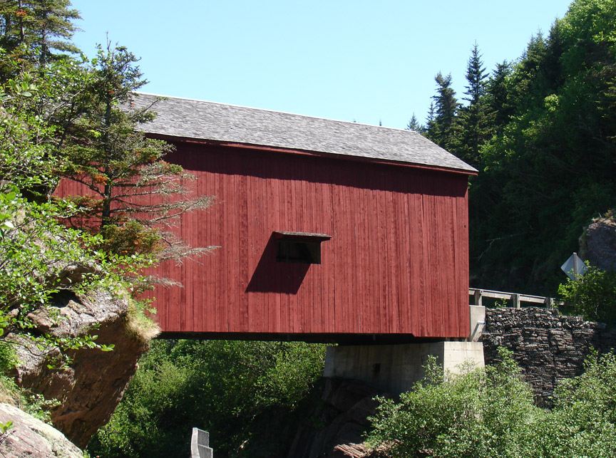
Span: 95' Length: 98'
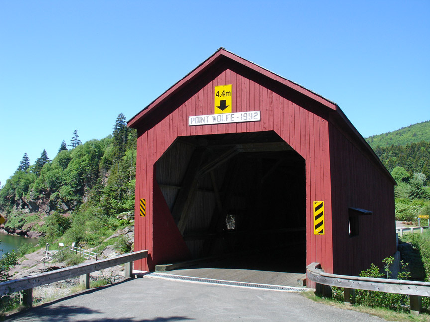
built in 1910, rebuilt in 1992
Howe Truss
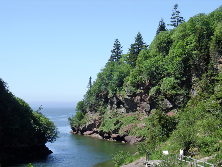
on the Bay of Fundy
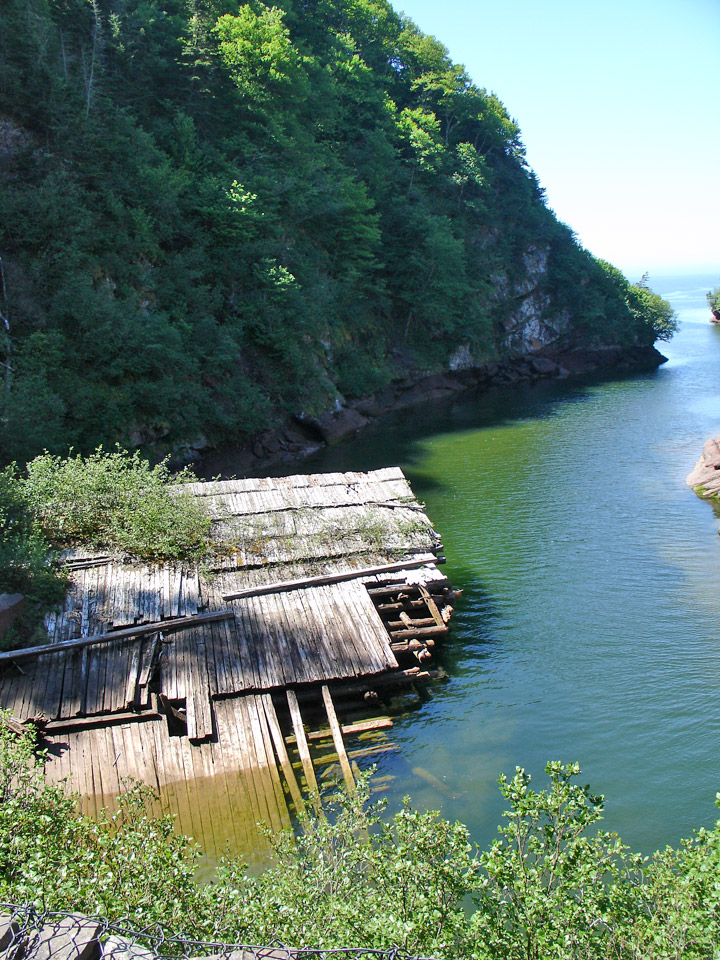
debris from the former bridge
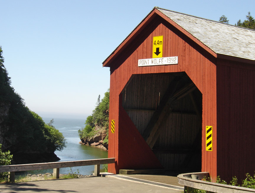
Location:
Across Point Wolfe River.
4.7 miles (7.6 km) southwest of NB114 and main entrance to Fundy National Park on road past park headquarters.