


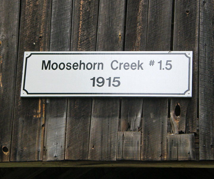
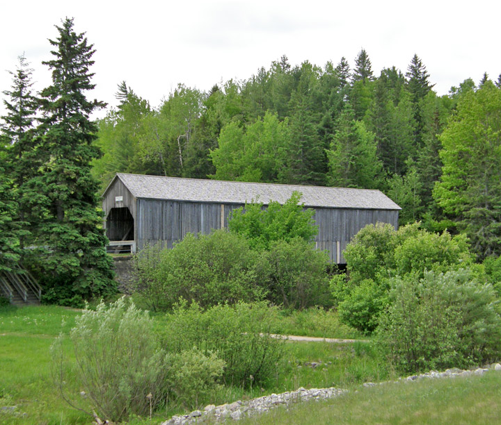
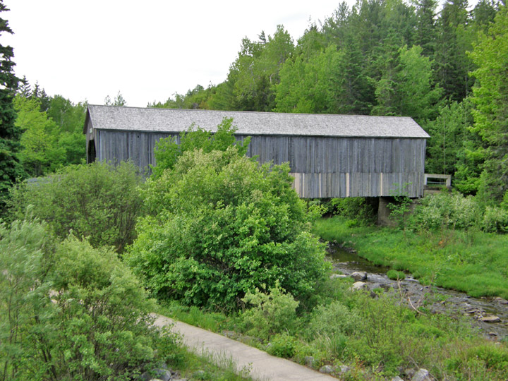
Moosehorn Covered Bridge
Moosehorn
Kings County
55-06-29
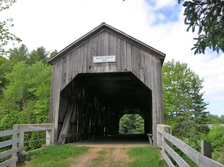
Moosehorn Covered Bridge
GPS
N 45 deg 36.612 min
W 65 deg 43.212 min
Map of Latitude: 45.610200
Longitude: -65.720200
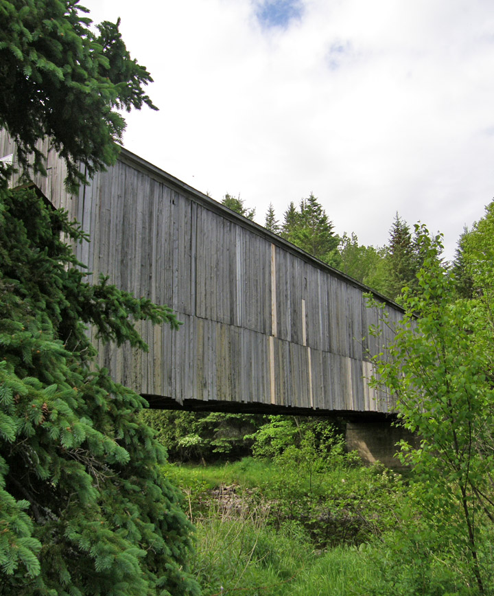
Span: 94' 8" Length: 98' 8"
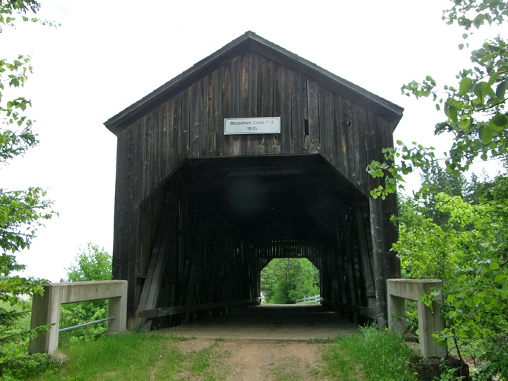
built in 1915
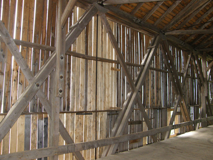
Howe Truss
Location:
Across Moosehorn Brook.
2.3 miles (3.7 km) southwest of jct NB124 on S. side NB1 on abandoned section of old Rte 1.